Kheybar Shekan Missile

Kheybar Shekan Missile

Kheybar Shekan Missile Latest News

Recently, Iran has been using the Kheybar Shekan missile in complex attacks, proving itself to be an adaptable adversary for the U.S.

About Kheybar Shekan Missile

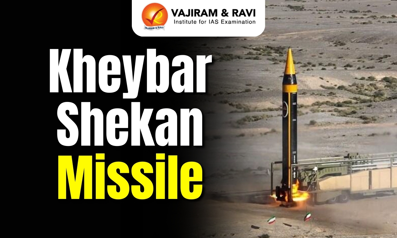
  • It is Iran’s latest long-range solid-fuel ballistic missile. 
  • The name means “breaker of Khayber” in Arabic, a reference to the Battle of Khayber in Arab history. 
  • It is the fourth generation of the Khorramshahr missile family.

Kheybar Shekan Missile Features

  • The missile is approximately 4 meters long and weighs 1,500 kilograms. 
  • It has a reported range of around 1,450 km. 
  • It is powered by a locally developed ‘Arond’ engine integrated within its fuel tank to minimise length and enhance camouflage.
  • It uses solid fuel. This allows for faster launch preparation, easier storage, and better concealment, key advantages in modern missile warfare.
  • It can be launched from a mobile platform and is ready in less than 15 minutes. 
  • The high-explosive warhead weighs approximately 550 kilograms. 
  • The missile operates in three phases: takeoff, mid-flight guidance with rear engines, and a final descent guided by precision engines.
  • It uses a satellite-guided system and manoeuvrable warheads for enhanced precision. 
  • Its speed is said to reach 19,500 km/h in the atmosphere and 9,800 km/h outside it, roughly Mach 12. 
  • Due to this speed, it can make interception difficult even for advanced air defence systems.
  • The missile's aerodynamic design, including the absence of ailerons, reduces air friction and radar detection, increasing its chances of evading interception.

News: WSI


Kheybar Shekan Missile FAQs

Q1: What is the Kheybar Shekan Missile?

Ans: It is a long-range solid-fuel ballistic missile.

Q2: Which country developed the Kheybar Shekan Missile?

Ans: Iran.

Q3: The Kheybar Shekan Missile belongs to which missile family?

Ans: Khorramshahr missile family.

Q4: What is the approximate weight of the Kheybar Shekan Missile?

Ans: About 1,500 kilograms.

Tripura Sarinda

Sarinda

Tripura Sarinda Latest News

A bamboo and cane artisan from Tripura is showcasing the state's traditional bamboo musical instruments, including the recently GI-tagged sarinda, at the national-level handicrafts and handloom exhibition 'Indi Haat 2026' in New Delhi.

About Tripura Sarinda

  • It is a bowed string musical instrument which is crafted from a single block of wood with a hollow resonator. 
  • It is closely associated with Tripura's indigenous communities, used during folk performances and other indigenous musical expressions.
  • It is also known as Sarinda Uakhrap.
  • Features:
    • It is specially made of bamboo.
    • It also has an oval-shaped void wooden vibrating chamber, which is covered with a thin skin.
    • Its wider top portion is open. The waist is narrowly  shaped.
    • The instrument is about 65-70 cm. The lower portion is oval.
    • The middle portion is large, and the edges are wide. The cave portion is uncovered.
    • In the top portion three pegs are fitted in order to fasten the strings. The strings are either metal or of the thread of Muga or animal gut.
    • It is played by a crude “bow” that is made of horse hair.
    • By tightening or loosening the strings, the tuning is done.
  • Sarinda is known as the ‘’Foli’’ instrument in the states of Assam, Bengal, Jharkhand, Tamil, Karnataka, Rajasthan, and Gujarat. The Sarangi and Nepali Sarangi are similar to the Sarinda.
  • The Bodos call it Serja or Serenja. Several ethnic groups of India, e.g. Bauls of Bengal, Punjabi people, the folk artists of Rajasthan, the Bodo of Assam, and the related Twiprasa of Tripura, use the sarinda in their traditional music. 
  • Other GI-tagged products from Tripura: Tripura Queen Pineapple, Risa and Pachra, also known as Rignai, and Matabari Peda.

News: TRIP


Tripura Sarinda FAQs

Q1: What is the Tripura Sarinda?

Ans: A bowed string musical instrument.

Q2: What is another name for the Tripura Sarinda?

Ans: Sarinda Uakhrap.

Q3: From what material is the Tripura Sarinda primarily made?

Ans: Bamboo.

Q4: What materials are used for the strings of the Tripura Sarinda?

Ans: Metal, Muga thread, or animal gut.

Key Facts about Mahanadi River

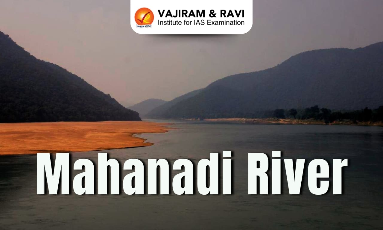
Mahanadi River

Mahanadi River Latest News

State-owned Oil and Natural Gas Corporation (ONGC) spudded the first deepwater appraisal well in the Mahanadi offshore basin recently.

About Mahanadi River

  • It is one of the major east-flowing peninsular rivers located in the states of Chhattisgarh and Odisha.
  • It is the third-largest peninsular river after the Godavari and Krishna.  
  • Course:
    • It originates from the Sihawa Hills in Dhamtari district, Chhattisgarh, at an elevation of 442 meters. 
    • It begins as a collection of small streams in the Dandakaranya foothills and initially flows northward for about 100 km before turning eastward into the plains.
    • Before joining the Bay of Bengal at False Point through several channels near the major seaport town of Paradip, the river enters the plains of Odisha near Cuttack and forms a delta.
    • Close to one of its mouths is the famous pilgrimage site of Puri. Farther up the coast is Konark, the site of an ancient temple dedicated to the sun. 
  • Total Length: 860 km 
  • The river is bounded in the north by the Central India hills, in the south and east by the Eastern Ghats, and in the west by the Maikal hill range.
  • The Mahanadi basin extends over the states of Chhattisgarh and Odisha and comparatively smaller portions of Jharkhand, Maharashtra, and Madhya Pradesh.
  • It passes through several major cities and towns, including Raipur, Sambalpur, and Cuttack.
  • It is considered to be one of the most active silt-depositing streams in India.
  • Tributaries: The main tributaries of Mahanadi are Seonath River, Jonk River, Hasdeo River, Mand River, Ib River, Ong River and Telen River. 
  • Major Dams:
    • Hirakud Dam (Odisha)
    • Gangrel Dam (Chhattisgarh)
    • Tandula Dam (Chhattisgarh)
    • Kalma Barrage (Odisha)
    • Sondur Dam (Chhattisgarh)
    • Hasdeo Bango Dam (Chhattisgarh)
  • Chilika Lake: Chilika, named a wetland of international importance under the Ramsar Convention, gets 61% of its inland flow from the Mahanadi River system, mainly from its distributaries – Daya and Bhargabi.

News: TOI


Mahanadi River FAQs

Q1: Where does the Mahanadi River originate?

Ans: Sihawa Hills in Dhamtari district, Chhattisgarh.

Q2: Into which sea does the Mahanadi River drain?

Ans: Bay of Bengal.

Q3: In which two major states does the Mahanadi River primarily flow?

Ans: Chhattisgarh and Odisha.

Q4: What is the total length of the Mahanadi River?

Ans: 860 km.

Q5: Which famous dam is built across the Mahanadi River in Odisha?

Ans: Hirakud Dam.

Undavalli Caves

Undavalli Caves

Undavalli Caves Latest News

The two-day Telugu Mahotsavam, organised by the Andhra Pradesh State Creativity and Culture Society, commenced with grandeur at the historic Undavalli Caves in Guntur district recently.

About Undavalli Caves

  • The Undavalli Caves are among the finest examples of ancient rock-cut architecture in India. 
  • They are located in Undavalli Village of Guntur district in Andhra Pradesh. 
  • They are believed to be built between the 4th and 5th centuries by the Gupta dynasty. 
  • The caves are located on a hill overlooking the Krishna River
  • These caves have been carved out of solid sandstone on a hillside. 
  • The best known and largest one has four stories with a huge statue of Lord Vishnu in a reclining posture sculpted from a single block of granite on the second floor.
  • Other shrines inside the cave are dedicated to the Trimurti: Brahma, Vishnu and Shiva. 
  • The main cave belongs to the earliest examples of Gupta architecture, primarily primitive rock-cut monastery cells carved into the sandstone hills.
  • Initially the caves were shaped as a Buddhist monastery, and the first floor still retains the style of a Buddhist vihara, including some Buddhist sculptures. 
  • The facade of the third floor is adorned with numerous sculptures, including depictions of lions and elephants.
  • Undavalli caves are associated with the Vishnukundina kings of 420 to 620 CE. It is also believed that these caves were used by the Buddhist monks as rest houses.  
  • Once served as the Buddhist-Jain complexes, the Undavalli Caves were later converted to Hindu Temples.

News: TH


Undavalli Caves FAQs

Q1: Where are the Undavalli Caves located?

Ans: Undavalli Village, Guntur district, Andhra Pradesh.

Q2: On the banks of which river are the Undavalli Caves situated?

Ans: Krishna River.

Q3: Between which centuries were the Undavalli Caves built?

Ans: Between the 4th and 5th centuries CE.

Q4: Which dynasty is believed to have built the Undavalli Caves?

Ans: Gupta dynasty.

Q5: From which type of rock are the Undavalli Caves carved?

Ans: Sandstone.

INSAT-3DR

What is INSAT-3DR

INSAT-3DR Latest News

An analysis of the visible satellite image and the INSAT-3DR infrared image, captured recently, suggests that roughly 60 to 70 percent of India's landmass is under cloud cover.

About INSAT-3DR

  • INSAT-3DR (Indian National Satellite-3DR) is an advanced meteorological satellite developed by ISRO
  • Objectives: Improve weather forecasting, cyclone tracking, disaster warning, and environmental monitoring over India and the surrounding region. 
  • It was launched on 8 September 2016 aboard the GSLV-F05 launch vehicle. 
  • It is configured with an Imaging System, and an Atmospheric Sounder. 
  • Like its predecessor INSAT-3D, INSAT-3DR carries a Data Relay Transponder as well as a Search and Rescue Transponder. 
  • Thus, INSAT-3DR will provide service continuity to earlier meteorological missions of ISRO and further augment the capability to provide various meteorological as well as search and rescue services. 
  • It provides half-hourly multispectral images over the Indian region from a geostationary position. 
  • The significant improvements incorporated in INSAT-3DR are:
    • Imaging in the middle infrared band to provide nighttime pictures of low clouds and fog.
    • Imaging in two thermal infrared bands for estimation of Sea Surface Temperature (SST) with better accuracy.
    • Higher spatial resolution in the Visible and Thermal Infrared bands.

News: IT


INSAT-3DR FAQs

Q1: What is INSAT-3DR?

Ans: An advanced meteorological satellite developed by ISRO.

Q2: When was INSAT-3DR launched?

Ans: 8 September 2016.

Q3: What is the primary purpose of INSAT-3DR?

Ans: To improve weather forecasting, cyclone tracking, disaster warning, and environmental monitoring.

United Nations Commission on International Trade Law

United Nations Commission on International Trade Law

United Nations Commission on International Trade Law Latest News

Recently, India’s External Affairs Minister addressed the inaugural session of the international conference of 60th anniversary commemoration of the United Nations Commission on International Trade Law (UNCITRAL). 

About United Nations Commission on International Trade Law

  • It is a subsidiary body of the UN General Assembly established in 1966.
  • It is the core legal body of the U.N,'s system in the field of international trade law.
  • Mandate: To further the progressive harmonization and unification of the law of international trade. 
  • Function: The organization is responsible for helping to facilitate international trade and investment.
  • It is formulating modern, fair, and harmonized rules on commercial transactions.
  • Member Countries: The Commission is composed of 70 member States elected by the General Assembly.
    • There are five regional groups represented within the Commission: African States; Asian States; Eastern European States; Latin American and Caribbean States; Western European and Other States.
  • Term of Members: The General Assembly elects members for terms of six years; every three years the terms of half of the members expire. 
  • India is a founding member of this organization.
  • Headquarter: It is in New York with annual sessions held alternatively in Vienna.

Source: DD News

United Nations Commission on International Trade Law FAQs

Q1: How many member states are there in UNCITRAL as of 2026?

Ans: 70

Q2: UNCITRAL was established in which year by UNGA?

Ans: 1966

Sarnath

Sarnath

Sarnath Latest News

Recently, the “Ancient Buddhist Site of Sarnath” got inscribed on the UNESCO World Heritage List.

About Sarnath

  • Location: It is located in Varanasi, Uttar Pradesh.
  • It is counted among the holy pilgrimage sites of Buddhism.
  • It is described in ancient Buddhist scriptures such as Rishipattan, Ishipatana, Mrigadava.
  • It is now India’s 45th and Uttar Pradesh’s fourth World Heritage Site.
  • Significance to Buddhist 
    • It is the ancient sacred land where Lord Buddha, after attaining enlightenment, delivered his first sermon to humanity and set in motion the ‘Dharmachakra Pravartan’.
    • The inscribed serial property comprises two component parts – Chaukhandi Stupa and the Archaeological Remains of Sarnath (Dhamekh Stupa, Dharmrajika Stupa, Mulagandgakuti Vihara, Ashokan Pillar, etc.).
    • In the historical period Sarnath was developed over centuries through royal, monastic and lay patronage.
    • The site comprises an ensemble of ancient monuments constructed from the pre-Mauryan period (5th-4th centuries BCE to 3rd century BCE) up until the destruction of Sarnath in the 12th century CE.
    • Sarnath has been one of the most extensively excavated sites by the Archaeological Survey of India which resulted in a stratified settlement spread across 16 centuries (5th-4th centuries BCE to 12th century CE).

Source: PIB

Sarnath FAQs

Q1: Sarnath is located in which state?

Ans: Uttar Pradesh

Q2: Which mudra of Buddha is most commonly associated with Sarnath sculptures?

Ans: Dharmachakra Pravartan Mudra

Tanzania

Tanzania

Tanzania Latest News

Recently, India and Tanzania have reviewed bilateral ties across diverse sectors, including trade and investment, development partnership, defence and security cooperation.

About Tanzania

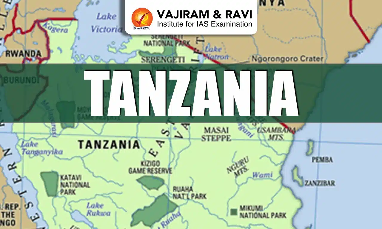
  • Location: It is an East African country situated just south of the Equator.
  • Bordering Countries: It shares borders with eight countries: Kenya and Uganda to the north, Rwanda, Burundi, and the Democratic Republic of the Congo to the west, and Zambia, Malawi, and Mozambique to the south. 
  • Maritime Border: The eastern border of Tanzania meets the Indian Ocean.
  • Capital: Dar es Salaam (administrative captial), Dodoma (legislative capital).

Geographical Features of Tanzania

  • Climate type: Tropical, with a long dry season and two rainy seasons.
  • Major lakes: Lake Victoria (the world’s second-largest freshwater lake, shared with Uganda and Kenya) in the north, Lake Tanganyika in the west, and Lake Nyasa in the southwest.
  • Highest Peak: Mount Kilimanjaro
  • Major rivers:  Great Ruaha, Rufiji, and Kagera rivers. 
  • Islands: It includes Zanzibar, Pemba, and Mafia, all located off the eastern coast in the Indian Ocean.
  • Natural Resources: It is very rich in minerals such as gold, diamond, iron, coal, nickel, tanzanite, uranium and natural gas. 

Source: News On Air

Tanzania FAQs

Q1: What is the capital of Tanzania?

Ans: Dodoma

Q2: Mount Kilimanjaro, the highest peak in Africa is located in?

Ans: Tanzania

Sone River

Sone River

Sone River Latest News

Bihar and Jharkhand are set to sign an agreement formalising the sharing of Sone river waters.

About Sone River

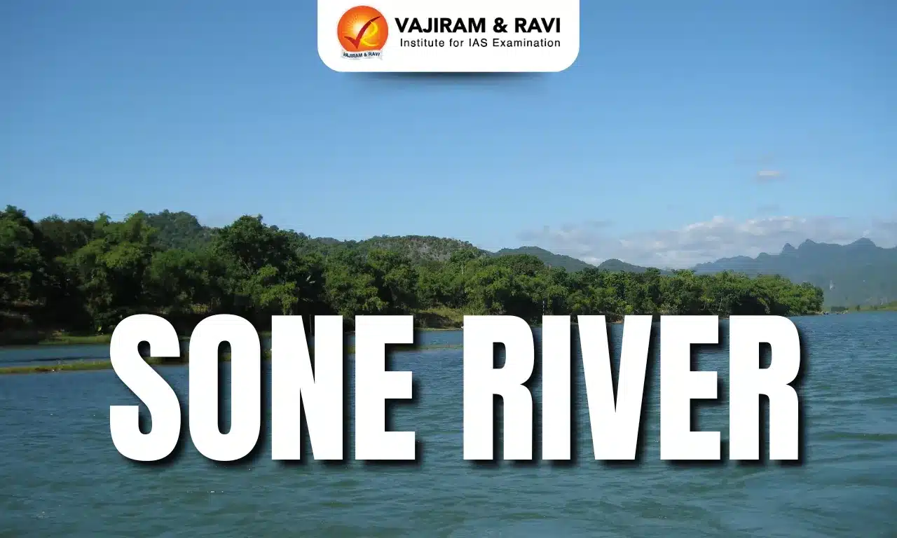
  • The Sone River, also called Son, is a principal southern tributary of the Ganges (Ganga) River after the Yamuna River. 
  • It flows through the states of Madhya Pradesh (around 500 km), Uttar Pradesh, Jharkhand, and Bihar.
  • Origin: It is a perennial river that originates in the Amarkantak hills of the Maikal Range in Madhya Pradesh.
  • Course: The River flows in a north-northwest direction till Bansagar reservoir, after which it changes its course sharply eastwards, flowing parallel to Kaimur Range, and joins Ganga River 30 km upstream of Patna in Bihar.
  • Tributaries:  Major tributaries of the Son River are Banas, Gopad, Rihand, Kanhar and North Koel.
  • The Sone valley is geologically almost a continuation of that of the Narmada River to the southwest.
  • The valley is bordered by the Kaimur Range to the north and the Chota Nagpur plateau to the south. 
  • Dams and Hydroelectric Projects
    • Bansagar Dam in Madhya Pradesh.
    • Rihand Dam in Uttar Pradesh 
    • Indrapuri Barrage in Bihar

Source: HT

Sone River FAQs

Q1: Sone River originates from which place?

Ans: Amarkantak Plateau,

Q2: Sone River is a tributary of which river?

Ans: Ganga River

ASEAN Regional Forum

ASEAN Regional Forum

ASEAN Regional Forum Latest News

Recently, the External Affairs Minister said the ASEAN Regional Forum remains an important platform for discussions on political and security issues in the Indo-Pacific. 

About ASEAN Regional Forum

  • It was established in 1994 as an important platform for security dialogue in the Indo-Pacific.
  • It provides a setting in which members can discuss current security issues and develop cooperative measures to enhance peace and security in the region.
  • Objectives of the ASEAN Regional Forum
    • To foster constructive dialogue and consultation on political and security issues of common interest and concern; and
    • To make significant contributions to efforts towards confidence-building and preventive diplomacy in the Asia-Pacific region.
  • The ARF is characterised by consensus-based decision-making and frank dialogue.
  • Members: It comprises 27 members: the 11 ASEAN member states, 10 ASEAN Dialogue Partners (Australia, Canada, China, the European Union (EU), India, Japan, New Zealand, the Republic of Korea (ROK), Russia and the United States) and other members.
  • Chairmanship: The ARF is chaired by the ASEAN Chair of that year.

Source: DD News

ASEAN Regional Forum FAQs

Q1: The ASEAN Regional Forum was established in which year?

Ans: 1994

Q2: How many members are there in ARF as of 2026?

Ans: 27

Enquire Now