


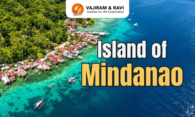
The Island of Mindanao is the second-largest island in the Philippines after Luzon. Located in Southeast Asia, it features volcanic mountains, extensive upland plateaus, major river systems and diverse natural resources. Its location in a tectonically active region makes it significant for understanding earthquakes and volcanic activity.
Location of the Island of Mindanao
The Island of Mindanao lies in the southern part of the Philippine archipelago.
- The island covers approximately 97,530 square kilometres, making it the second-largest island in the Philippines.
- It lies south of the Visayas island group.
- The Sulu Sea lies to its west, the Philippine Sea to its east, the Celebes Sea to its south and the Bohol Sea, also known as the Mindanao Sea, to its north.
- Its position between major water bodies connects it with important maritime routes in Southeast Asia.
Physical Features of the Island of Mindanao
The Island of Mindanao has a varied landscape comprising mountain ranges, volcanic peaks, upland plateaus, river valleys and coastal plains.
Mountains and Highest Peak
- Mount Apo: At approximately 2,954 metres, it is the highest peak in the Philippines. This dormant stratovolcano lies between Davao del Sur and Cotabato.
- Mount Kitanglad and Mount Kalatungan: Prominent peaks in the central highlands of Mindanao.
- Mountain systems: The island contains multiple structural and volcanic mountain ranges that influence drainage patterns, rainfall and vegetation.
Upland Plateaus
- Location: Extensive upland plateaus occur in Bukidnon and Lanao del Sur.
- Formation: Some plateau surfaces developed from basaltic lava flows interspersed with volcanic ash and tuff.
- Erosional features: Deep canyons and waterfalls occur along the edges of these plateaus.
- Significance: The uplands support agriculture and contain important forest and watershed areas.
Plains and Valleys
- Cotabato Plain: A major lowland region associated with the Rio Grande de Mindanao river system.
- Agusan Valley: Located in northeastern Mindanao and drained by the Agusan River.
- Coastal plains: Found along parts of the island, supporting settlements and agricultural activities.


Major Rivers of the Island of Mindanao
The Island of Mindanao has two major river systems that drain its interior and support agriculture, wetlands and freshwater ecosystems.
- Agusan River: Flows northwards through the Agusan Valley, passes through Agusan Marsh and empties into Butuan Bay.
- Rio Grande de Mindanao: Also known as the Mindanao River, it drains the Cotabato Basin, supports agriculture in the surrounding lowlands and flows into Illana Bay.
Tectonic Setting and Volcanic Activity
The Island of Mindanao lies within the tectonically active Philippine archipelago, which forms part of the Pacific Ring of Fire. Interactions between tectonic plates, subduction zones and active faults generate frequent earthquakes in the region.
The island also contains volcanic landforms, including Mount Apo and other volcanic centres. The Philippine Trench lies east of Mindanao, while the Cotabato Trench lies to its southwest. This tectonic setting exposes the island to natural hazards such as earthquakes, volcanic activity and earthquake-triggered landslides, which can affect settlements and infrastructure.
Climate and Natural Resources of Mindanao
The Island of Mindanao has a tropical climate, with rainfall patterns influenced by monsoon systems, topography and exposure to surrounding seas.
- Rainfall: Rainfall distribution varies across the island due to differences in elevation and exposure to prevailing winds.
- Agriculture: Rice, corn, bananas and pineapples are among the crops cultivated in Mindanao.
- Forest resources: Mountain forests support diverse ecosystems and wildlife.
- Mineral resources: Deposits of gold, copper and nickel contribute to the island’s economy.

 Last updated on Oct, 2026
→ UPSC 2027 Notification will be released on 13 January 2027 at upsconline.nic.in.
→ Check Nobel Prize 2026 Winners List here.
→ Download PIB PRiSM Monthly Magazine 2026 here.
→ Check UPSC Monthly Current Affairs Magazine The Recitals here.
→ Check out the latest UPSC Syllabus here.
→ Download UPSC Model Answers for Mains 2026
→ UPSC Mains Question Paper 2026 is out now for Essay & GS Paper 1, 2, 3 & 4.
→ UPSC Calendar 2027 has been released.
→ Enroll in Vajiram & Ravi’s UPSC Mains Test Series 2027 for structured answer writing practice, expert evaluation, and exam-oriented feedback.
→ Join Vajiram & Ravi’s UPSC Mentorship Program 2027 for personalized guidance, strategy planning, and one-to-one support from experienced mentors.
→ Go through the UPSC Mains Previous Year Papers to enhance your preparation.
→ UPSC has released UPSC Toppers List 2025 with the Civil Services final result on its official website.
→ Also check Best UPSC Coaching in India
Island of Mindanao FAQ's
Q1. Where is the Island of Mindanao located?+
Q2. Which seas surround the Island of Mindanao?+
Q3. Which is the highest peak on the Island of Mindanao?+
Q4. What are the major rivers of the Island of Mindanao?+
Q5. Why does the Island of Mindanao experience earthquakes?+
Tags: island island of mindanao