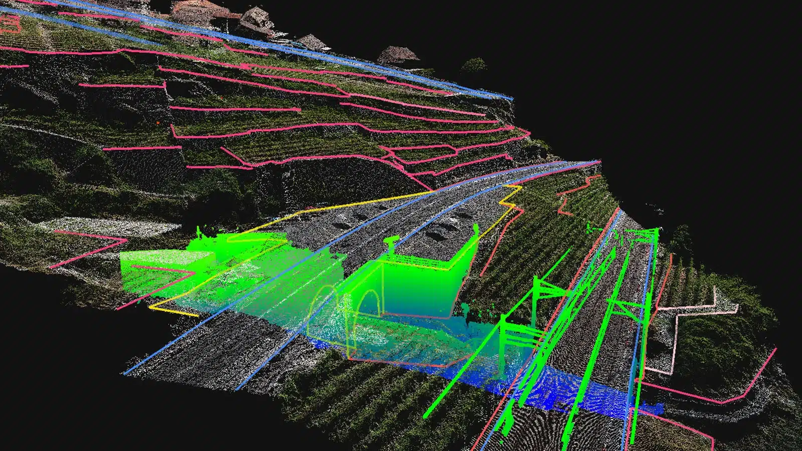
About LiDAR
- Lidar, which stands for Light Detection and Ranging, is a remote sensing method that uses light in the form of a pulsed laser to measure ranges (variable distances) to the Earth.
- These light pulses—combined with other data recorded by the airborne system — generate precise, three-dimensional information about the shape of the Earth and its surface characteristics.
- A lidar instrument principally consists of a laser, a scanner, and a specialized GPS receiver.
- Airplanes and helicopters are the most commonly used platforms for acquiring lidar data over broad areas.
- How Does it Work?
- A LiDAR system calculates how long it takes for beams of light to hit an object or surface and reflect back to the laser scanner.
- The distance is then calculated using the velocity of light. These are known as ‘Time of Flight’ measurements.
- Two types of lidar are topographic and bathymetric.
- Topographic lidar typically uses a near-infrared laser to map the land, while bathymetric lidar uses water-penetrating green light to also measure seafloor and riverbed elevations.
- Lidar systems allow scientists and mapping professionals to examine both natural and man-made environments with accuracy, precision, and flexibility.
- It is used in a wide range of land management and planning efforts, including hazard assessment (including lava flows, landslides, tsunamis, and floods), forestry, agriculture, geologic mapping, and watershed and river surveys.
- What is the difference between Radar and LiDAR?
- LiDAR works in a similar way to Radar and Sonar yet uses light waves from a laser, instead of radio or sound waves.
Q1) What is a Radar?
The word radar comes from the acronym radio detection and ranging. As the name implies, radars use radio waves to determine the distance and velocity of the targets they hit. A radar system usually consists of a transmitter to send out radio signals and a receiver to catch any reflected energy from targets.
Source: 3,000-Year-Old City Hidden In Amazon Rainforest Discovered


 Last updated on Oct, 2026
→ UPSC 2027 Notification will be released on 13 January 2027 at upsconline.nic.in.
→ Asian Games 2026 are being held in Aichi-Nagoya, Japan, from 19 September to 4 October.
→ Check Nobel Prize 2026 Winners List here.
→ Download PIB PRiSM Monthly Magazine 2026 here.
→ Check UPSC Monthly Current Affairs Magazine The Recitals here.
→ Check out the latest UPSC Syllabus here.
→ Download UPSC Model Answers for Mains 2026
→ UPSC Mains Question Paper 2026 is out now for Essay & GS Paper 1, 2, 3 & 4.
→ UPSC Calendar 2027 has been released.
→ Enroll in Vajiram & Ravi’s UPSC Mains Test Series 2027 for structured answer writing practice, expert evaluation, and exam-oriented feedback.
→ Join Vajiram & Ravi’s UPSC Mentorship Program 2027 for personalized guidance, strategy planning, and one-to-one support from experienced mentors.
→ Go through the UPSC Mains Previous Year Papers to enhance your preparation.
→ UPSC has released UPSC Toppers List 2025 with the Civil Services final result on its official website.
→ Also check Best UPSC Coaching in India