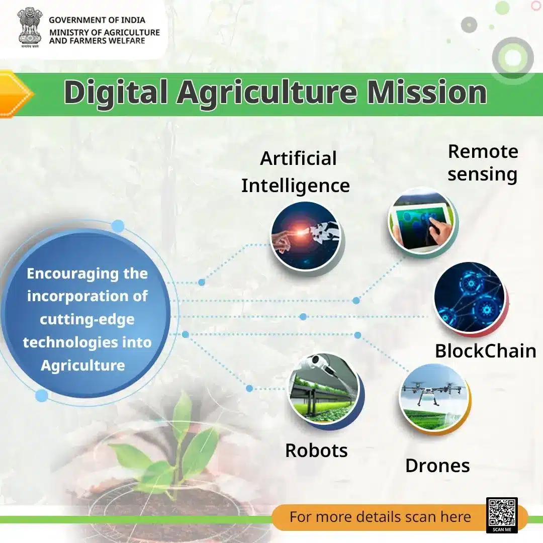
About Digital Agriculture Mission:
- It is conceived as an umbrella scheme to support digital agriculture initiatives, such as creating Digital Public Infrastructure, implementing the Digital General Crop Estimation Survey (DGCES), and taking up other IT initiatives by the Central Government, State Governments, and Academic and Research Institutions.
- Three major components of DPI are envisaged under the Digital Agriculture Mission: AgriStack, Krishi Decision Support System (DSS), and Soil Profile Maps.
- Each of these DPI components will provide solutions that will allow farmers to access and avail of various services.
- AgriStack: The farmer-centric DPI AgriStack consists of three foundational agri-sector registries or databases: Farmers’Registry, Geo-referenced Village Maps, and Crop Sown Registry, all of which will be created and maintained by state/ UT governments.
- Farmers’Registry: It will be given a digital identity (‘Farmer ID’) similar to Aadhaar, which will be linked dynamically to records of land, ownership of livestock, crops sown, demographic details, family details, schemes and benefits availed, etc.
- Pilots projects for the creation of Farmer IDs have been carried out in six districts — Farrukhabad (Uttar Pradesh), Gandhinagar (Gujarat), Beed (Maharashtra), Yamuna Nagar (Haryana), Fatehgarh Sahib (Punjab), and Virudhunagar (Tamil Nadu).
- Crop Sown Registry: It will provide details of crops planted by farmers. The information will be recorded through Digital Crop Surveys — mobile-based ground surveys — in each crop season.
- Geo-referenced Village Maps: It will link geographic information on land records with their physical locations.
- Krishi DSS: It will create a comprehensive geospatial system to unify remote sensing-based information on crops, soil, weather, and water resources, etc.
- This information will support crop map generation for identifying crop sown patterns, droughts/ flood monitoring, and technology-/ model-based yield assessment for settling crop insurance claims by farmers.
- Soil Profile Maps: Under the Mission, detailed Soil Profile Maps (on a 1:10,000 scale) of about 142 million hectares of agricultural land are envisaged to be prepared. A detailed soil profile inventory of about 29 million ha has already been completed.
Q1: What is Digital Public Infrastructure (DPI)?
It is an open-source identity platform that can be used to access a wide variety of government and private services by building applications and products on a set of application programming interfaces (APIs) like India Stack.


 Last updated on Sep, 2026
→ UPSC 2027 Notification will be released on 13 January 2027 at upsconline.nic.in.
→ Asian Games 2026 are being held in Aichi-Nagoya, Japan, from 19 September to 4 October.
→ Check out the latest UPSC Syllabus here.
→ Download UPSC Model Answers for Mains 2026
→ UPSC Mains Question Paper 2026 is out now for Essay & GS Paper 1, 2, 3 & 4.
→ UPSC Calendar 2027 has been released.
→ Enroll in Vajiram & Ravi’s UPSC Mains Test Series 2027 for structured answer writing practice, expert evaluation, and exam-oriented feedback.
→ Join Vajiram & Ravi’s UPSC Mentorship Program 2027 for personalized guidance, strategy planning, and one-to-one support from experienced mentors.
→ Go through the UPSC Mains Previous Year Papers to enhance your preparation.
→ UPSC has released UPSC Toppers List 2025 with the Civil Services final result on its official website.
→ Also check Best UPSC Coaching in India