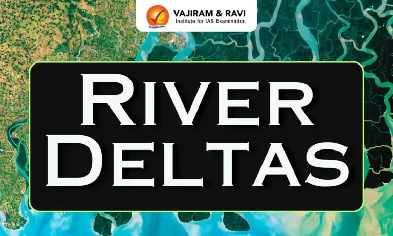
River deltas are landforms formed when a river deposits sediments such as sand, silt and clay near its mouth, where it enters a sea, ocean, lake or another water body. These deposits gradually build up and create new land. River deltas are important geographical features because they support agriculture, fisheries, biodiversity and human settlements.
How River Deltas are Formed?
River deltas are formed mainly through the process of deposition. A river carries sediments from mountains, hills and plains and deposits them when its speed decreases near its mouth.
The formation of a river delta takes place through the following steps:
- Erosion of rocks and soil: Rivers erode rocks and soil along their courses and collect sediments such as sand, silt and clay.
- Transportation of sediments: The flowing river carries these sediments downstream towards its mouth.
- Reduction in river velocity: When the river enters a sea, ocean or lake, its flow usually slows down because the water body is wider and deeper.
- Deposition of sediments: As the river loses energy, it deposits the heavier sediments first, followed by finer materials.
- Formation of distributaries: Sediment accumulation may obstruct the main channel, forcing the river to divide into smaller channels called distributaries.
- Growth of new land: Continuous deposition builds up layers of sediment, gradually extending the land into the surrounding water body and forming a delta.
Conditions required for Delta Formation
- The river should carry a sufficient quantity of sediments.
- The river’s velocity should decrease near its mouth.
- Waves, tides and coastal currents should not remove all the deposited sediments.
- The receiving water body should provide suitable conditions for sediment accumulation.
- The river should have a relatively stable supply of water and sediments over time.
Main Parts of a Delta
A river delta consists of three main parts: the upper delta plain, lower delta plain and subaqueous delta. Each part has different characteristics depending on its location and sediment deposits.
1. Upper Delta Plain
The upper delta plain is the inland part of a delta, located relatively far from the sea or lake.
- It mainly contains river channels, natural levees, floodplains and abandoned channels.
- It receives sediments during floods.
- It is often suitable for agriculture because of its fertile soil.
- Freshwater conditions generally dominate this region.
2. Lower Delta Plain
The lower delta plain lies closer to the coast and is influenced by both river processes and marine conditions.
- It contains distributaries, wetlands, marshes and tidal channels.
- Freshwater may mix with saltwater in some areas.
- Tides and coastal flooding influence sediment deposition.
- It provides habitats for fish, birds and other wildlife.
3. Subaqueous Delta
The subaqueous delta is the underwater portion of a delta that extends into the receiving water body.
- It consists of sediments deposited below the water surface.
- Coarser sediments are generally deposited closer to the river mouth, while finer particles may travel farther.
- It may contain underwater slopes and sediment layers.
- These deposits contribute to the long-term growth and development of the delta.


Types of Deltas
The types of delta are commonly classified according to their shape and the processes that control sediment deposition. The main controlling forces are river flow, waves and tides.
1. Arcuate Delta
An arcuate delta is a fan-shaped or curved delta with a broad coastline that resembles an arc. It forms when a river deposits sediments at its mouth while waves and coastal currents redistribute them along the shore.
- It usually has a rounded or convex coastline.
- Distributaries spread across the delta plain.
- Waves help distribute sediments along the coastline.
- Example: The Nile Delta in Egypt.
2. Bird’s Foot Delta
A bird’s foot delta develops when river processes dominate over waves and tides. The river carries sediments far into the sea through long, narrow distributaries that resemble the toes of a bird’s foot.
- It has long, finger-like channels extending into the water.
- Sediments accumulate along and near the distributaries.
- Weak wave action allows the channels to extend farther into the sea.
- Example: The Mississippi River Delta in the United States.
3. Cuspate Delta
A cuspate delta is a tooth-shaped or pointed delta that extends into the sea. It generally forms where waves approach the coastline from different directions and distribute sediments around the river mouth.
- It has a pointed or triangular coastal shape.
- Wave action plays an important role in shaping the coastline.
- Sediments accumulate on both sides of the river mouth.
- Example: The delta of the Tiber River in Italy is commonly cited as a cuspate delta.
4. Estuarine Delta
An estuarine delta forms when sediments accumulate within an estuary, which is a coastal water body where river water meets seawater.
- Sediments fill parts of the estuary over time.
- Tides and river currents influence the deposition process.
- The delta may develop within a partly enclosed coastal area.
- Example: The deltaic deposits of the Seine River in France are associated with its estuarine environment.
5. Inland Delta
An inland delta forms within a continental region rather than at the coast. It develops when a river spreads across a flat area, often because of low gradients, seasonal flooding or drainage into an inland basin.
- River channels divide into smaller streams and wetlands.
- Water may spread over large floodplains.
- Sediments accumulate across the inland region.
- Example: The Okavango Delta in Botswana.
River Deltas Threats
River deltas face several natural and human-induced threats that affect their land, ecosystems, biodiversity and the livelihoods of local communities.
- Sea-Level Rise: Rising sea levels increase coastal flooding, erosion and saltwater intrusion.
- Reduced Sediment Supply: Dams and reservoirs trap sediments, reducing the natural replenishment of delta land.
- Land Subsidence: Groundwater extraction and sediment compaction cause land to sink, increasing flood risks.
- Coastal Erosion: Waves, currents and storms remove sediments, leading to the loss of land.
- Pollution: Industrial waste, sewage, plastics and agricultural chemicals damage delta ecosystems.
- Wetland Destruction: Urbanisation, agriculture and industrial development lead to the loss of wetlands and mangrove forests.
- Climate Change: Changing rainfall patterns, cyclones and extreme floods threaten delta landscapes and communities.
River Deltas Significance
River deltas are geographically and economically important because they provide fertile land, support biodiversity and sustain human livelihoods.
- Agriculture: Nutrient-rich sediments create fertile soil suitable for crops such as rice and wheat.
- Biodiversity: Deltas support diverse ecosystems, including mangroves, wetlands and estuaries.
- Fisheries: Rivers and coastal waters provide breeding grounds for fish and support fishing communities.
- Flood Protection: Wetlands and mangroves help reduce wave energy and protect coastal areas from storm surges.
- Economic Activities: Deltas support agriculture, aquaculture, tourism, trade and navigation.
- Water Resources: Deltaic sediments can store groundwater and support local water supplies.
- Human Settlements: Fertile land, water availability and transport routes make many deltas suitable for settlements and economic development.

 Last updated on Oct, 2026
→ UPSC 2027 Notification will be released on 13 January 2027 at upsconline.nic.in.
→ Check Nobel Prize 2026 Winners List here.
→ Download PIB PRiSM Monthly Magazine 2026 here.
→ Check UPSC Monthly Current Affairs Magazine The Recitals here.
→ Check out the latest UPSC Syllabus here.
→ Download UPSC Model Answers for Mains 2026
→ UPSC Mains Question Paper 2026 is out now for Essay & GS Paper 1, 2, 3 & 4.
→ UPSC Calendar 2027 has been released.
→ Enroll in Vajiram & Ravi’s UPSC Mains Test Series 2027 for structured answer writing practice, expert evaluation, and exam-oriented feedback.
→ Join Vajiram & Ravi’s UPSC Mentorship Program 2027 for personalized guidance, strategy planning, and one-to-one support from experienced mentors.
→ Go through the UPSC Mains Previous Year Papers to enhance your preparation.
→ UPSC has released UPSC Toppers List 2025 with the Civil Services final result on its official website.
→ Also check Best UPSC Coaching in India
River Deltas FAQs
Q1. What is a river delta in geography?+
Q2. How are river deltas formed?+
Q3. What are the main types of delta?+
Q4. What is an arcuate delta?+
Q5. What is an example of a river delta in India?+
Q6. Which is the largest river delta in the world?+
Tags: deltas river river deltas