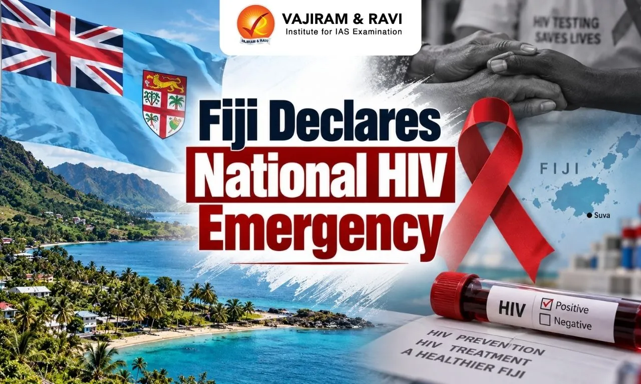
Fiji Declares National HIV Emergency after a sharp rise in HIV infections, prompting the government to expand testing, treatment and prevention measures. The development has brought renewed attention to the growing HIV burden in the Pacific island nation and the gaps in diagnosis and treatment.
Why Did Fiji Declare a National HIV Emergency?
Fiji declared a national HIV emergency as the country faces a rapid rise in new infections alongside significant gaps in HIV diagnosis and treatment. New HIV infections increased 12-fold between 2010 and 2025, while around 9,100 people were estimated to be living with HIV in 2025 in a country with a population of less than one million.
Key Factors Behind Fiji’s HIV Crisis
Several factors are contributing to the rapid spread of HIV in Fiji.
- Injecting drug use: Sharing contaminated needles and syringes can transmit HIV directly through blood. More than 42% of cases with a known mode of transmission were linked to injecting drug use.
- Sexual transmission: More than half of cases with a known mode of transmission were linked to sexual transmission, making testing and prevention services particularly important.
- Limited testing: A large proportion of people living with HIV do not know their status, reducing the likelihood of early diagnosis and treatment.
- Low treatment coverage: Only 22% of people living with HIV were accessing antiretroviral treatment in 2025, limiting the health benefits of treatment and its role in preventing further transmission.
- Stigma and discrimination: Fear of stigma can discourage people from getting tested or accessing treatment, allowing infections to remain undiagnosed.
What Measures Has Fiji Announced?
Fiji's response focuses on expanding access to testing, treatment, prevention and harm reduction.
- Free HIV testing: The government plans to expand testing so that more infections can be identified at an early stage.
- Free treatment: People who test positive will be provided access to HIV treatment.
- Needle and syringe programme: Fiji plans to introduce a programme providing clean needles and syringes to people who inject drugs, with legislative amendments being considered to facilitate its implementation.
- Expanded prevention: The government is strengthening access to HIV prevention services, including preventive medicines.
- Community-based response: Community organisations and peer workers are being involved in reaching vulnerable groups and connecting them with health services.
- Action against stigma: The government has emphasised that people should not be excluded or discouraged from seeking HIV services because of their HIV status.
What is HIV?
Human Immunodeficiency Virus (HIV) is a virus that attacks the body's immune system, particularly CD4 cells, which help the body fight infections.
Without treatment, HIV can progressively weaken the immune system and may lead to Acquired Immunodeficiency Syndrome (AIDS), the most advanced stage of HIV infection.
Antiretroviral treatment can suppress HIV and help people living with the virus lead healthy lives.
How is HIV Transmitted?
HIV is transmitted through certain body fluids when they enter the body of another person.
- Sexual transmission: Through exposure to infected sexual fluids.
- Blood transmission: Through infected blood.
- Injecting drug use: Through sharing contaminated needles or syringes.
- Mother-to-child transmission: During pregnancy, childbirth or breastfeeding.
HIV is not transmitted through ordinary social contact, such as hugging, shaking hands or sharing everyday spaces.
Fiji Declares National HIV Emergency FAQs
Q1: Why did Fiji declare a national HIV emergency?
Ans: Fiji declared a national HIV emergency following a 12-fold increase in new HIV infections between 2010 and 2025, along with significant gaps in HIV testing and treatment.
Q2: How many people are living with HIV in Fiji?
Ans: Around 9,100 people were estimated to be living with HIV in Fiji in 2025, in a country with a population of less than one million.
Q3: What are the major factors driving Fiji’s HIV crisis?
Ans: The major factors include sexual transmission, injecting drug use, limited access to testing and treatment, and stigma and discrimination that can discourage people from seeking HIV services.
Q4: What measures has Fiji announced to tackle the HIV crisis?
Ans: Fiji is expanding HIV testing, treatment and prevention services and plans to introduce a needle and syringe programme for people who inject drugs.
Q5: What is HIV and how is it transmitted?
Ans: Human Immunodeficiency Virus (HIV) attacks the immune system and is mainly transmitted through sexual contact, infected blood, sharing contaminated needles or syringes, and from mother to child during pregnancy, childbirth or breastfeeding.