Synthetic Aperture Radar Latest News
Recently, NASA said the NASA-ISRO SAR mission had arrived at ISRO’s spaceport in Sriharikota.
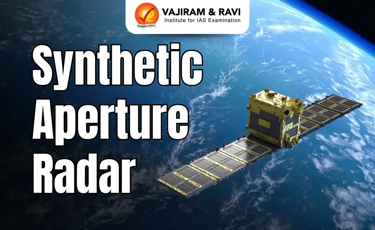
About Synthetic Aperture Radar
- It is a type of active data collection where an instrument sends out a pulse of energy and then records the amount of that energy reflected back after it interacts with Earth.
- SAR imagery is created from the reaction of an emitted pulse of energy with physical structures (like mountains, forests, and sea ice) and conditions like soil moisture.
- It is a way to make sharp pictures even when it’s dark or cloudy.
Working of Synthetic Aperture Radar
- SAR systems send out microwave pulses and record the echoes that bounce back from the ground, ocean, ice or buildings.
- Then, clever signal processing turns those echoes into detailed images.
- The key element is the antenna that receives the echoes. Usually, the longer a physical antenna, the better the resolution — but a large antenna is hard to build and maintain.
- On a SAR, a small antenna is carried on a moving platform like a satellite. As a result each echo is recorded at a slightly different position.
- By stitching them together with precise timing and phase information, software can help mimic a single antenna hundreds of metres long.
- Since microwaves penetrate clouds, smoke, and even light rainfall, SAR can collect data 24/7. If a SAR unit is mounted on an orbiting satellite, it can map swaths of land hundreds of kilometres wide in a single overpass.
- Different materials like soil, vegetation, water, and metals reflect microwaves differently, allowing SAR to detect changes invisible to optical sensors.
Source: TH
Synthetic Aperture Radar FAQs
Q1: What is the use of SAR image?
Ans: Synthetic-aperture radar (SAR) is a form of radar that is used to create two-dimensional images or three-dimensional reconstructions of objects, such as landscapes.
Q2: What is LiDAR full form?
Ans: Light Detection and Ranging
