GPS Interference Latest News
- Recent incidents—including a Delhi-Jammu flight turning back, a tanker collision at the Strait of Hormuz, and a container ship grounding near Jeddah—were all caused by GPS interference, which has now become a major threat to global aviation and maritime navigation.
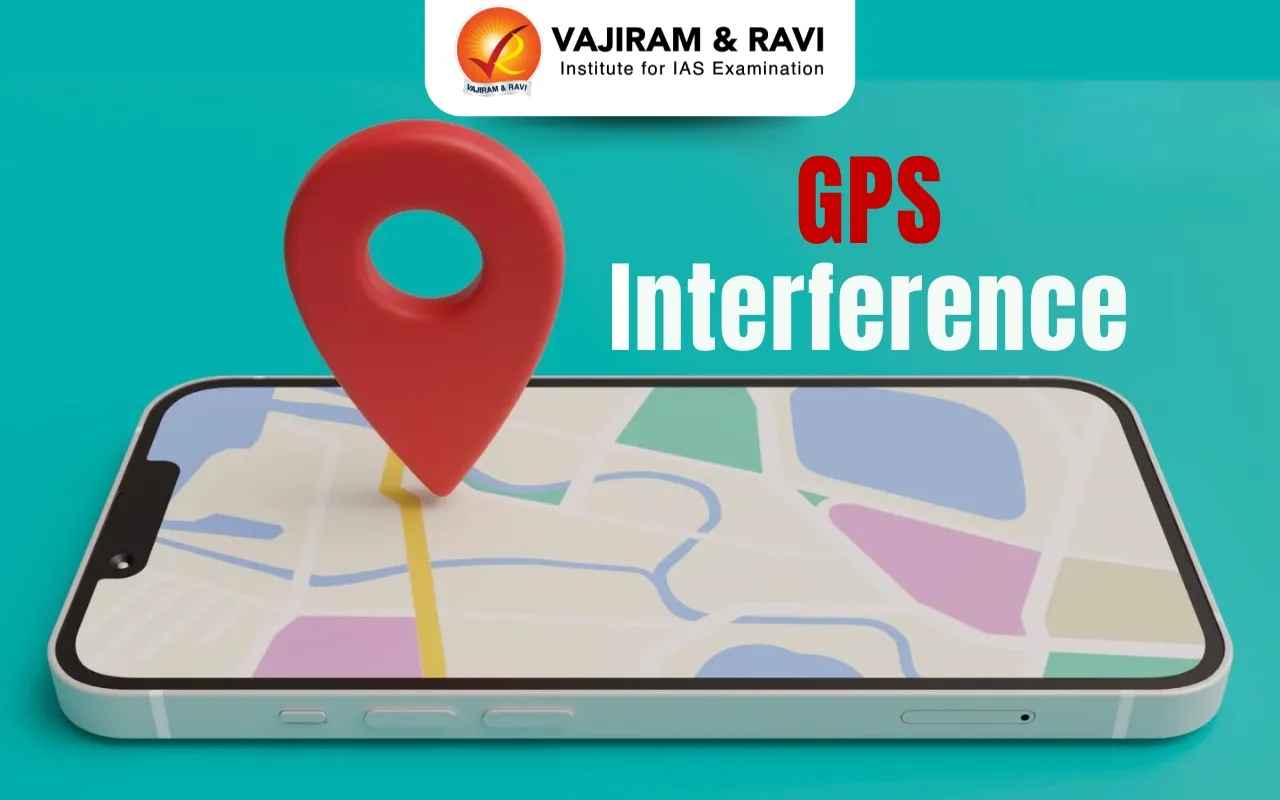
About GPS Interference
- GPS interference refers to deliberate cyber-attacks that disrupt or deceive Global Positioning System (GPS) signals, affecting navigation for aircraft, ships, and other vehicles.
Types of GPS Interference
- GPS Jamming
- Involves the use of a jammer device that emits strong radio signals on GPS frequencies.
- These signals overpower the weaker satellite signals, causing GPS receivers to lose location and time data.
- This is a form of signal disruption.
- GPS Spoofing
- Uses a device to transmit false signals that mimic those from GPS satellites.
- It deceives receivers into accepting incorrect location or time data.
- Unlike jamming, spoofing doesn’t block signals—it manipulates them.
- While often used interchangeably, jamming disrupts GPS functionality, whereas spoofing misleads the receiver.
- Both pose serious threats to navigation and safety in air and sea operations.
Dangers Associated with GPS Interference
- GPS interference poses a serious threat to both civilian and military operations, enabling remote disruption without physical confrontation.
- In 2024, there were reports of up to 700 GPS spoofing incidents daily worldwide, underlining the scale and urgency of the threat.
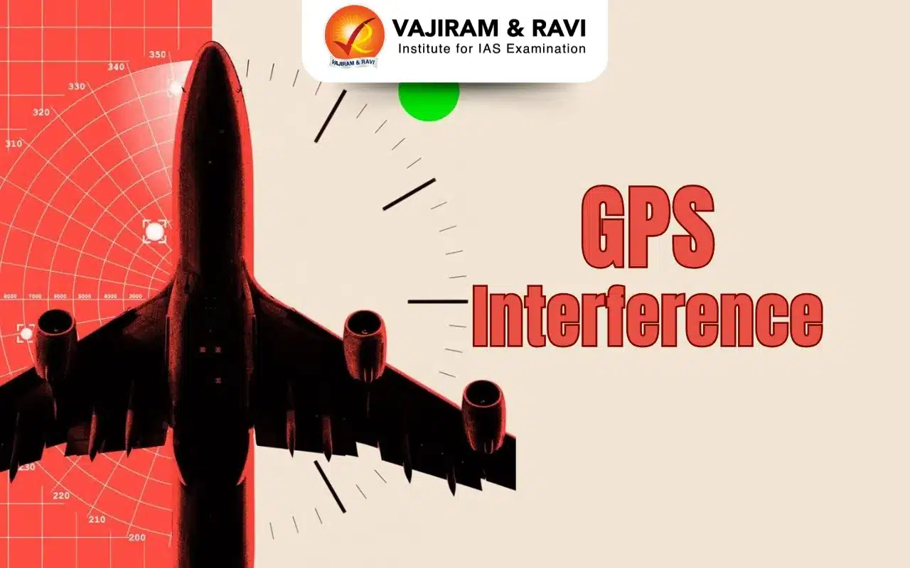
Risks to Aviation and Maritime Safety
- Spoofing can mislead pilots, causing incorrect position judgments and increasing the risk of collisions with terrain or other aircraft.
- For ships, loss of GPS accuracy can lead to groundings, collisions, and disruption of maritime operations, including port functions.
- GPS spoofing isn’t limited to air and sea—it can also disrupt road navigation, leading to traffic jams and paralyzing transport systems, particularly during emergencies.
Impact on Critical Infrastructure
- Air traffic control, port operations, and vessel traffic systems (VTS) are highly dependent on GPS.
- Interference can cause systemic failures in these sectors, with wide-ranging safety and operational consequences.
Multiple Causes of GPS Interference
- GPS interference can arise from both natural and intentional sources, including:
- Electromagnetic radiation from nearby devices
- Ionospheric disturbances and solar flares
- Deliberate jamming and spoofing in conflict zones
- Countries with advanced electronic warfare capabilities—especially those involved in active conflicts—are often responsible for intentional interference.
- While military in intent, civilian vessels and aircraft nearby can also be affected.
Hotspots of GPS Interference
- Persian Gulf and Red Sea
- Maritime GPS interference has surged due to regional tensions.
- Windward’s Q1 2025 data shows a 350% increase in spoofing in the Red Sea compared to 2024.
- Vessels reported sudden jumps of hundreds of nautical miles.
- Eastern Europe
- Ongoing Russia–Ukraine war has led to frequent GPS spoofing incidents, especially affecting airspace safety.
How Aircraft Mitigate GPS Interference
- Use of Backup Navigation Systems
- Inertial Navigation Systems (INS): Uses gyroscopes and accelerometers to calculate position from the last known location.
- VHF Omnidirectional Range (VOR) and Distance Measuring Equipment (DME): Ground-based radio navigation aids that help pilots cross-check their position.
- Other Navigation Techniques
- Dead reckoning and celestial navigation are rare but can be used in extreme cases.
- Dead reckoning - the process of calculating one’s position by estimating the direction and distance travelled.
- Instrument Landing Systems (ILS) remain unaffected by spoofing and ensure safe landings.
- Crew Training and Communication
- DGCA mandates enhanced crew training to identify and respond to spoofing threats.
- Pilots are encouraged to monitor control room chatter for early warning signs.
How Ships Handle GPS Spoofing
- Manual Navigation During Spoofing
- Ships typically operate on autopilot using GPS, but spoofing forces a switch to manual helm control.
- Terrestrial navigation using lighthouses, radars, and paper charts ensures continued situational awareness.
- Adoption of Multi-GNSS Systems
- Ships increasingly rely on multi-constellation Global Navigation Satellite System (GNSS), which includes:
- U.S. GPS
- Russia’s GLONASS
- EU’s Galileo
- China’s Bei Dou
- This diversification reduces dependency on a single system and enhances resilience.
Conclusion
- Mitigating GPS interference involves a multi-layered approach:
- Redundant systems in aircraft
- Manual navigation and GNSS diversification in ships
- National autonomy through indigenous systems like NavIC
- This strategy ensures continuity, safety, and sovereignty in navigation and critical operations.
Source: IE | BBC
GPS Interference FAQs
Q1: What is GPS interference?
Ans: It’s the disruption or deception of GPS signals through jamming or spoofing, affecting navigation systems of planes and ships.
Q2: Why is GPS interference dangerous?
Ans: It misleads pilots and ship crews, increasing collision risks and compromising safety in critical infrastructure like ports and airports.
Q3: Where is GPS interference common?
Ans: Conflict zones like the Red Sea, Persian Gulf, and Eastern Europe often report high GPS spoofing and jamming activity.
Q4: How do aircraft handle GPS interference?
Ans: Aircraft switch to INS, VOR, and DME systems, while pilots rely on training and air traffic control communication for safety.
Q5: How do ships manage GPS spoofing?
Ans: Ships switch to manual control using radars and lighthouses, and adopt multi-GNSS systems like GLONASS and NavIC for accuracy.