Barak River Latest News
Communities along the Barak River say their nets have been empty following the June floods in a region once teeming with Hilsa, Rohu, and Catla.
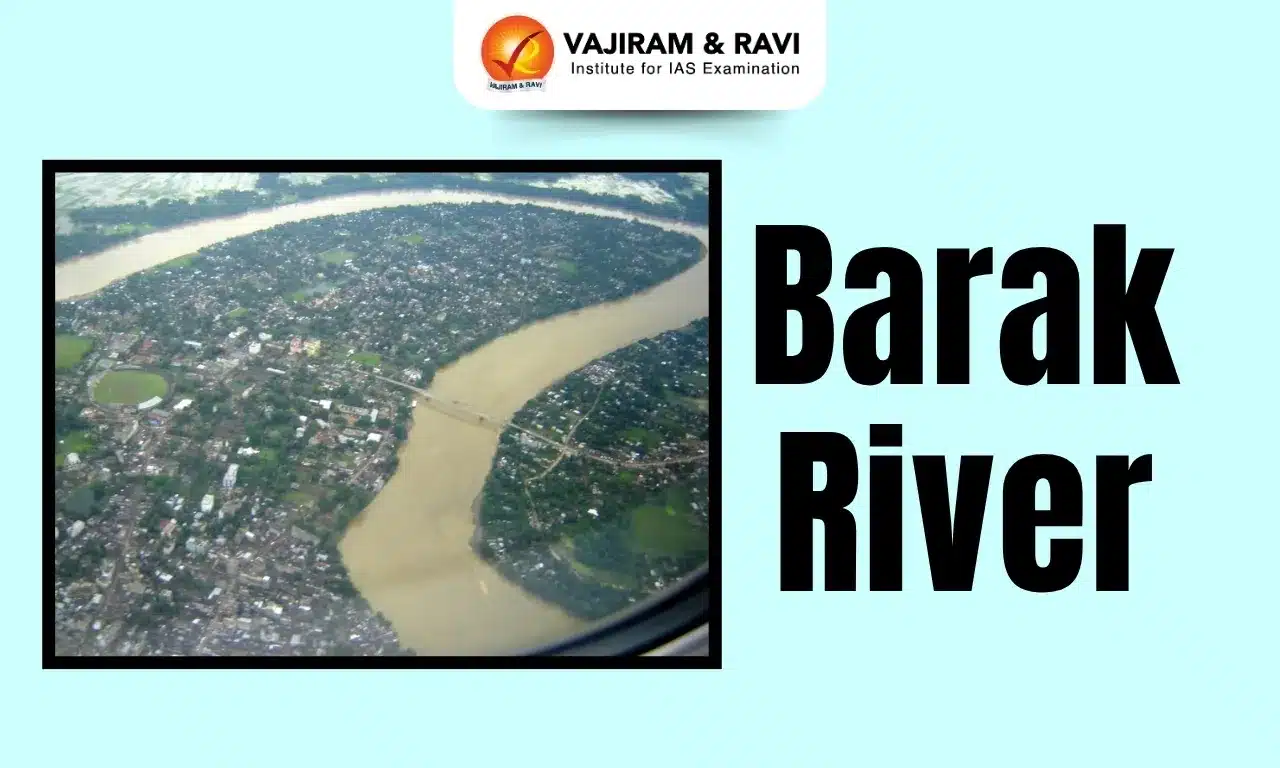
About Barak River
- It is the second largest river in Northeast India after the Brahmaputra.
- It runs through Manipur, Nagaland, Mizoram, and Assam in India, and Bangladesh.
- Course:
- Origin: It rises from the Manipur hills, south of Mao in the Senapati district of Manipur, at an elevation of 2,331 m.
- It flows then along the Nagaland-Manipur border through hilly terrains and enters Assam.
- Just before flowing into the neighboring country of Bangladesh, the Barak splits into the Surma River and the Kusiyara River.
- These two rivers meet to form the Meghna River, which flows southward, joins the Padma River, and finally drains into the Bay of Bengal.
- Length: Barak has a length of about 900 km. It spans 524 km in India, with a significant part along the Indo-Bangladesh border.
- The Barak River basin, formed by the Barak and its tributaries, drains India, Bangladesh, and Myanmar.
- The major part of the basin is covered with forest, accounting for 72.58% of the total area, and only 1.92% of the basin is covered by water bodies.
- The basin is bounded by the Barail Range in the north, the Naga and Lushai Hills in the east, and Bangladesh in the south and west.
- Tributaries: The key tributaries of the Barak River are Jiri, Chiri, Modhura, Jatinga, Harang, Kalain, Gumra, Dhaleswari, Singla, Longai, Sonai, and Katakhal.
- The composite Ganga–Brahmaputra–Meghna basin covers nearly one-third of the land area of India.
Source: DTE
Barak River FAQs
Q1: Where is the origin of Barak River?
Ans: It rises from the Manipur hills, south of Mao in the Senapati district of Manipur.
Q2: What is the total length of the Barak River?
Ans: 900 km
Q3: The Barak River basin is bounded to the north by which range?
Ans: Barail Range
