Gangotri Glacier Snowmelt Latest News
- A recent study has reconstructed the long-term discharge flow of the Gangotri Glacier System (GGS), the source of the upper Ganga basin feeding the Bhagirathi River in the central Himalayas.
- With climate change driving faster glacier melt globally, glaciologists are closely examining how changes in Gangotri’s discharge patterns could affect water availability, river flow, and long-term sustainability of the region’s ecosystems and livelihoods.
Composition of the Gangotri Glacier System (GGS)
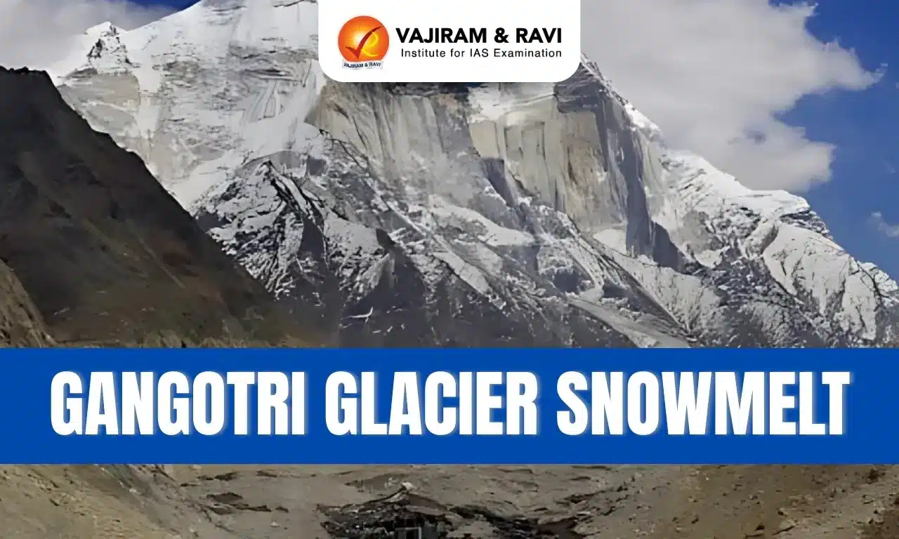
- The GGS comprises four glaciers — Meru (7 km²), Raktavaran (30 km²), Chaturangi (75 km²), and the largest, Gangotri (140 km²).
- Together, the system spans 549 km², with about 48% glacierised area, across elevations from 3,767 m to 7,072 m.
- The GGS receives precipitation from western disturbances in winter (October–April) and the Indian summer monsoon in summer (May–September).
- Seasonal rainfall (May–October) averages 260 mm, with a mean temperature of 9.4°C recorded between 2000–2003.
New Study on Gangotri Glacier System (GGS)
- The Hindu Kush Himalaya (HKH) holds vital snow and ice reserves that feed major rivers like the Indus, Ganga, and Brahmaputra, sustaining millions of lives.
- In recent decades, climatic changes have altered the cryosphere and hydrological cycles, leading to faster glacial retreat and shifting seasonal discharge patterns.
- While most modelling studies focus on large river catchments, it is difficult to separate the impacts of snowmelt and precipitation there.
- Smaller systems like the GGS allow for more precise assessments, making it a preferred choice for hydrologists and climate scientists.
- However, long-term discharge analysis and understanding climatic drivers have remained limited.
- To address this, a new study titled “Hydrological Contributions of Snow and Glacier Melt from the Gangotri Glacier System and Their Climatic Controls Since 1980” was conducted.
- The study, published in the Journal of the Indian Society of Remote Sensing, provides deeper insights into GGS’s meltwater contributions and climate influences.
Key Findings of the Study
- The study combined the Spatial Processes in Hydrology (SPHY) glacio-hydrological model with the Indian Monsoon Data Assimilation and Analysis (IMDAA) dataset (1980–2020) to reconstruct GGS discharge trends.
- SPHY model is a hydrological modelling tool suitable for a wide range of water resource management applications.
- It found that maximum discharge occurs in summer, peaking in July (129 m³/s).
- The mean annual discharge was estimated at 28±1.9 m³/s, primarily from snow melt (64%), followed by glacier melt (21%), rainfall-runoff (11%), and base flow (4%).
- A decadal analysis revealed a shift in discharge peaks from August to July after 1990, linked to reduced winter precipitation and enhanced early summer melting.
- The highest volumetric increase (7.8%) occurred between 1991–2000 and 2001–2010.
- While mean annual temperatures rose, there was no significant trend in precipitation or glacier melt.
- Snow melt declined due to shrinking snow cover, whereas rainfall-runoff and base flow increased.
- The analysis highlighted that summer precipitation was the main driver of annual discharge, followed by winter temperature.
Implications of the Study on GGS
- The findings highlight warming-induced hydrological changes in the Gangotri Glacier System (GGS), with increasing rainfall run-off and base flow.
- This aligns with the 25% excess rainfall observed in North India’s summer monsoon (June–August), which has caused frequent floods in Uttarakhand, Jammu, and Himachal Pradesh.
- While such events are often hastily termed “cloudbursts” without scientific evidence, climate change does raise the risk of extreme rainfall.
- The study stresses the need for sustained field monitoring and advanced modelling to improve water resource management in glacier-fed river basins, ensuring resilience against future hydrological and climatic shifts.
Gangotri Glacier Snowmelt FAQs
Q1: What is the Gangotri Glacier System (GGS)?
Ans: The GGS comprises four glaciers—Meru, Raktavaran, Chaturangi, and Gangotri—spanning 549 km², nearly half of which is glacierised, feeding the Bhagirathi river.
Q2: What did the recent study on GGS find?
Ans: The study found peak discharge shifted from August to July after 1990, mainly due to reduced winter precipitation and increased early summer melting.
Q3: Why is the Gangotri Glacier System important?
Ans: It sustains water flow in the Bhagirathi and upper Ganga basin, making it vital for ecosystems, agriculture, and millions of people relying on Himalayan rivers.
Q4: What are the main contributors to GGS discharge?
Ans: Snowmelt contributes 64%, glacier melt 21%, rainfall-runoff 11%, and base flow 4%, highlighting snowmelt as the largest driver of annual discharge.
Q5: What are the implications of the findings?
Ans: The study shows warming-driven hydrological changes, stressing the need for long-term monitoring to manage floods and sustain water resources in glacier-fed rivers.
