Network Survey Vehicles Latest News
- The National Highways Authority of India (NHAI) will deploy Network Survey Vehicles (NSVs) across 23 states, covering 20,933 km of National Highways to assess and improve road quality.
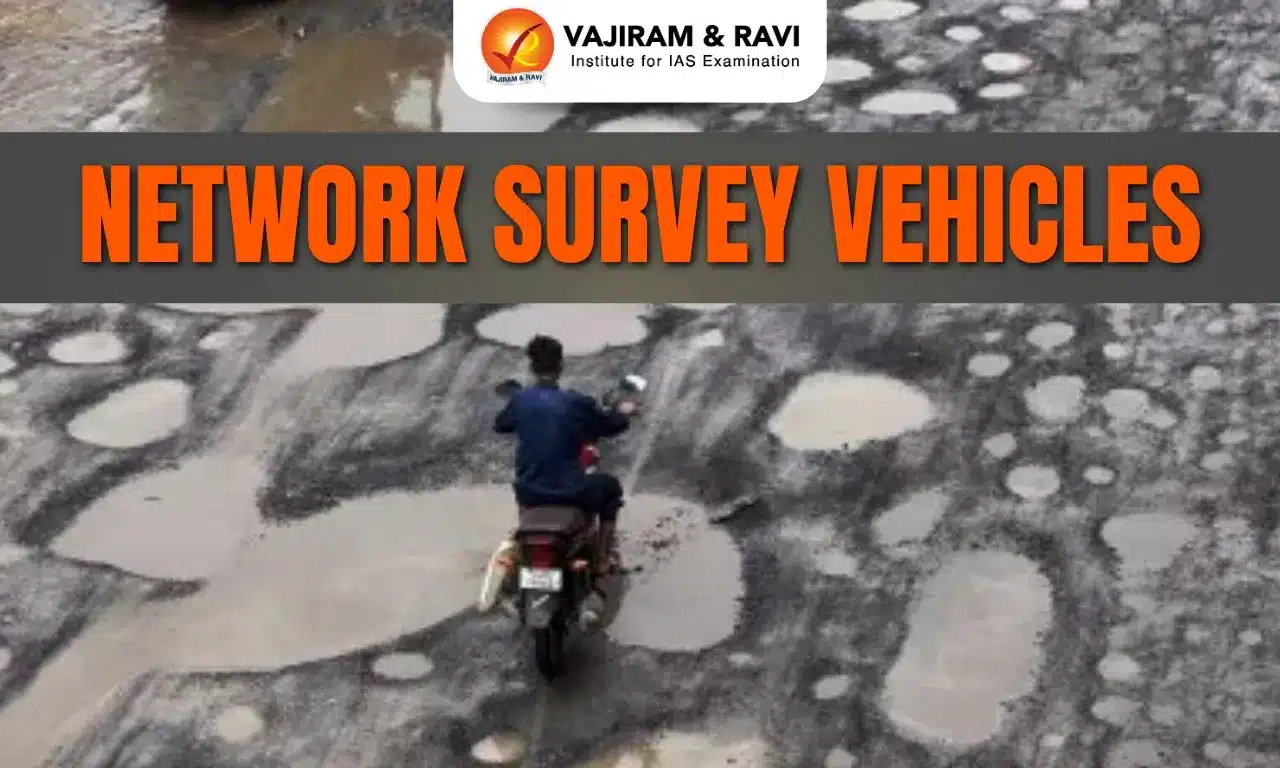
- These specialised vehicles will gather detailed data on road and pavement conditions, detecting cracks, potholes, ruts, and surface patches to ensure highways meet safety and quality standards.
- The move comes amid rising criticism of poorly maintained highways contributing to accidents and fatalities.
- Since 2019, NHAI has required NSV surveys before granting completion certificates for new road projects.
- All collected data will be processed, analysed, and uploaded to the Road Asset Management System (RAMS) — a centralised digital platform developed by the Ministry of Road Transport and Highways (MoRTH) for planning, budgeting, and life-cycle maintenance of India’s national highway network.
NHAI’s Expanding Highway Network: Progress and Persistent Challenges
- The National Highways Authority of India (NHAI) has made remarkable progress in expanding and modernising India’s road infrastructure, though issues of safety, design, and enforcement continue to persist.
Significant Progress in Expansion and Quality
- Rapid network expansion: India’s national highway network has grown by about 60% in a decade, from 91,287 km in 2014 to 146,195 km in early 2025. The length of multi-lane highways has more than doubled in this period.
- Faster construction pace: Construction speed has improved dramatically — 33 km per day in 2023–24, with a record 37 km per day in 2020–21.
- Flagship projects: Under the Bharatmala Pariyojana, NHAI is developing economic corridors and expressways, with thousands of kilometres already completed or under construction.
- Stronger maintenance mechanisms: Both MoRTH and NHAI are prioritising performance-based maintenance contracts for older highway stretches, ensuring accountability and consistent upkeep across the network.
- Technological innovation: NHAI is adopting drones, GPS, 3D mapping, and satellite monitoring for project tracking, quality control, and environmental compliance.
Persistent Challenges
- Safety and design flaws: Despite expansion, poor road design and construction defects — such as improper crash barriers, lack of signage, and uneven carriageways — continue to cause accidents. Potholes and unfinished stretches have also contributed to fatalities.
- Accidents during construction: In 2022 alone, ongoing construction activities were linked to over 9,000 road fatalities, highlighting the need for strict safety protocols in active zones.
- User dissatisfaction: Surveys reveal gaps in road quality, safety features, and traffic management, even on newly built expressways, affecting public satisfaction.
- Weak enforcement: Although road safety laws have been strengthened, inconsistent enforcement — particularly against traffic violations — undermines safety gains from improved infrastructure.
How Network Survey Vehicles Detect and Record Highway Defects
- Network Survey Vehicles (NSVs) are specialised vans or SUVs fitted with advanced tools like lasers, GPS, high-resolution cameras, video processors, Inertial Measurement Units (IMU), and Distance Measuring Indicators (DMI).
- These vehicles use 3D laser-based imaging and 360-degree cameras to automatically capture road surface defects such as cracks, potholes, and unevenness without human intervention.
- NHAI will deploy NSVs on all 2/4/6/8-lane highway projects before construction begins and then conduct follow-up surveys every six months.
- The collected data will guide pavement maintenance, asset management, and infrastructure planning decisions, ensuring timely repairs and better road safety.
Private Firms to Conduct NHAI’s Highway Survey
- The National Highways Authority of India (NHAI) has invited bids from qualified private companies to carry out the nationwide NSV-based highway inspection.
- As per the Terms of Reference (TOR), the survey will assess 13 types of road defects, including cracks, potholes, rutting, roughness, patch areas, edge breaks, and lane marking quality.
- In addition to defect detection, NSVs will record details such as carriageway and pavement type, road width, shoulder dimensions, topography, medians, land use, and utility locations, enabling a complete digital profile of India’s national highways.
NHAI to Survey 20,933 km of Highways Across 23 States
- Out of India’s 1.46 lakh km national highway network, the National Highways Authority of India (NHAI) manages over 50,000 km.
- Of this, 20,933 km — covering 91,280 km of lane length — has been earmarked for a detailed Network Survey Vehicle (NSV)-based inspection.
- The survey is divided into five zones:
- North (2,687 km): Delhi, Haryana, Punjab, Himachal Pradesh, Uttarakhand, Jammu & Kashmir
- West (3,915 km): Rajasthan, Gujarat
- Centre (4,616 km): Maharashtra, Madhya Pradesh
- South (4,537 km): Andhra Pradesh, Tamil Nadu, Telangana, Karnataka, Kerala
- East (5,179 km): Assam, Bihar, Jharkhand, Meghalaya, Odisha, Uttar Pradesh, West Bengal
- To ensure transparency and efficiency, no bidder will be awarded more than one package.
Source: IE | PIB
Network Survey Vehicles FAQs
Q1: What is NHAI’s new highway survey initiative?
Ans: NHAI will use Network Survey Vehicles to examine 20,933 km of highways for cracks, potholes, and other defects to improve road quality and safety.
Q2: What are Network Survey Vehicles (NSVs)?
Ans: NSVs are high-tech vehicles equipped with lasers, GPS, and 3D imaging systems that automatically detect road surface defects without human intervention.
Q3: How often will NHAI conduct NSV-based surveys?
Ans: NHAI will perform NSV surveys before project initiation and at six-month intervals to monitor pavement health and ensure long-term maintenance.
Q4: Which states will the NHAI survey cover?
Ans: The 23-state survey covers major regions including Delhi, Maharashtra, Tamil Nadu, Gujarat, Bihar, Assam, and West Bengal, across five geographic packages.
Q5: Who will carry out NHAI’s survey?
Ans: Qualified private firms will be selected through competitive bidding to collect, process, and upload data on the Road Asset Management System (RAMS).