Mudh-Nyoma Airbase

Mudh-Nyoma Airbase

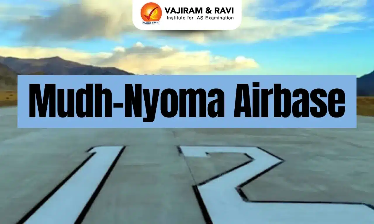
Mudh-Nyoma Airbase Latest News

Chief of the Air Staff Air Chief Marshal AP Singh recently inaugurated the Mudh-Nyoma airbase in Ladakh by landing a C-130J special operations aircraft there.

About Mudh-Nyoma Airbase

  • It is an Indian Air Force (IAF) base located in Nyoma, in southeastern Ladakh.
  • It is located at a height of 13,700 feet and is 23 km from the contested Line of Actual Control (LAC) with China. 
  • Nyoma is the fourth IAF base in Ladakh, the highest airfield in the country, and the fifth highest in the world now.
  • It lies close to the southern bank of the Pangong Tso and earlier had a mud-paved landing ground.
  • The responsibility of upgrading the airbase was entrusted to the Border Roads Organisation (BRO). The work began in September 2023.
  • It underwent a ₹230 crore upgrade, which included extending the original airstrip into a 2.7 km ‘rigid pavement’ runway, a new ATC complex, hangars, a crash bay, and accommodation.
  • The airfield is designed to house a number of military unmanned, rotary-wing, fixed-wing aircraft, including heavier transport planes, like the C-17 Globemaster III, and fighter jets, like the Sukhoi-30MKI.
  • The infrastructure at the airbase includes necessary facilities for maintenance and sustaining air and ground crews, essential for operations in a region where winter temperatures can plummet to below minus 20°C. 

Source: HT

Mudh-Nyoma Airbase FAQs

Q1: Mudh–Nyoma Airbase is located in which region of India?

Ans: Southeastern Ladakh

Q2: Mudh–Nyoma Airbase is roughly how far from the Line of Actual Control (LAC) with China?

Ans: 23 km

Q3: Which organisation is responsible for upgrading the Mudh–Nyoma Airbase?

Ans: Border Roads Organisation (BRO)

National Database for Emergency Management

National Database for Emergency Management

National Database for Emergency Management Latest News

Recently, the Ministry of Road Transport has made it mandatory for all Detailed Project Reports of highway projects to include analysis using the National Database for Emergency Management (NDEM). 

About National Database for Emergency Management

  • It is a unique Geo-portal to disseminate space-based inputs along with services of forecasting organizations addressing all natural disasters in India.
  • It is a national repository of multi-scale geospatial databases coupled with decision support system tools.
  • It is developed by the Indian Space Research Organisation (ISRO) under the guidance of the National Disaster Management Authority (NDMA).
  • The NDEM portal is maintained by the National Remote Sensing Centre (NRSC).
  • NDEM services have been operationalised since 2013 providing timely information along with disaster specific products for effective decision making.

Key Features of National Database for Emergency Management

  • It provides multi-temporal satellite data and thematic layers that help identify areas vulnerable to floods, landslides, earthquakes, and other natural hazards.
  • It also offers decision-support tools for monitoring and managing such hazards.
  • It is a unique and homogenous database served for the entire country with essential database elements for addressing emergency/disaster management in the country. 
  • It assists the decision makers, disaster management officials of all States/UTs, NDRF/SDRF for preparedness, hazard/risk zonation, damage assessment and emergency response.

Source: NIE

National Database for Emergency Management FAQs

Q1: What is the primary objective of National Database for Emergency Management?

Ans: To create a national repository of geospatial data

Q2: Who maintains National Database for Emergency Management?

Ans: National Remote Sensing Centre

Key Facts about Botswana

Key Facts about Botswana

Botswana Latest News

Recently, India and Botswana formally announced the translocation of eight Cheetahs from the African nation during the State visit of the President of India.

About Botswana

  • It is a landlocked country located in the center of Southern Africa.
  • Bordering Countries: It is bordered by four countries - Namibia to the north and west, South Africa to the south and southeast, Zimbabwe to the northeast, and it also borders Zambia to the north.
  • Botswana is a member of the United Nations, the Commonwealth, the African Union, and the Southern African Development Community.
  • Capital City: Gaborone

Geographical Features of Botswana

  • The country is divided into three main environmental regions.
    • Hardveld Region: It consists of rocky hill ranges and areas of shallow sand cover in eastern Botswana.
    • Sandveld Region: It is the area of deep Kalahari sand covering the rest of the country.
    • Ancient lake beds: It is superimposed on the northern sandveld in the lowest part of the Kalahari Basin.
  • Major Rivers: The main rivers in Botswana are Okavango, Chobe, Limpopo and Molopo.
  • Okavango Delta is one of a very few large inland delta systems without an outlet to the sea, known as an endorheic delta.
  • Desert: The massive Kalahari Desert covers more than 70 percent of Botswana.
  • Climate: It consists of semiarid; warm winters and hot summers
  • Natural Resources: Diamonds, copper, nickel, salt, soda ash, potash, coal, iron ore, silver

Source: TH

Botswana FAQs

Q1: What is the capital of Botswana?

Ans: Gaborone

Q2: What language is mostly spoken in Botswana?

Ans: Setswana

Metformin

Metformin

Metformin Latest News

Metformin may weaken the benefits of exercise, a new study suggests.

About Metformin

  • Metformin (1,1-dimethylbiguanide hydrochloride) is an anti-diabetic medication (biguanide).
  • It is commonly prescribed to help manage type 2 diabetes. 
  • Metformin works in a few different ways to help keep your blood glucose (sugar) from getting too high.
    • Metformin decreases the amount of glucose your body absorbs from things you eat and drink. 
    • Metformin reduces the amount of glucose that your liver makes. 
    • Metformin also helps your body’s own insulin to work better. (Insulin is a hormone that helps your body use glucose as a source of energy.) 
  • It is the most widely used glucose-lowering medication used around the world.
  • Metformin, listed among the World Health Organization’s essential medicines since 2011, is generally safe but may cause mild gastrointestinal upsets, give a metallic taste, or, rarely, may cause lactic acidosis (a buildup of lactic acid in your blood) in kidney-impaired patients.

Source: MNT

Metformin FAQs

Q1: What is metformin used for?

Ans: It is commonly prescribed to help manage type 2 diabetes.

Q2: What is the biggest side effect of metformin?

Ans: Lactic acidosis (a buildup of lactic acid in your blood)

Q3: The risk of Metformin-induced lactic acidosis is higher in which group?

Ans: Kidney-impaired patients.

ESCAPEDE Mission

ESCAPEDE Mission

ESCAPEDE Mission Latest News

Recently, Blue Origin has successfully launched Nasa’s highly anticipated Escapade mission to Mars.

About ESCAPEDE Mission

  • The ESCAPADE (Escape and Plasma Acceleration and Dynamics Explorers) mission is the first coordinated multi-spacecraft orbital science mission to Mars.
  • Its twin orbiters are known as Blue and Gold which will take simultaneous observations from different locations around Mars.
  • It is part of NASA’s SIMPLEx (Small Innovative Missions for Planetary Exploration) program.
  • This mission has chosen ‘launch and loiter’ strategy
    • It means the satellites will launch from Earth toward the Lagrange 2 Point (L2), a point in space where the balance of Earth and Sun’s gravitational pull ensures that a spacecraft stays put.
    • The spacecraft will stay loiter at L2 until the apt window for Mars travel opens up, and then it will move toward Mars in late 2026.

Objectives of ESCAPEDE Mission

  • It will reveal the planet’s real-time response to space weather and how the Martian magnetosphere changes over time,
  • These spacecraft will travel to Mars to study the interaction between solar wind, streams of charged particles from the Sun, and the Martian magnetic field.
  • Understanding how solar wind strips Mars of its atmosphere is critical for planetary science and future human exploration.

Source: India Today

ESCAPEDE Mission FAQs

Q1: What is the primary objective of the ESCAPADE Mission?

Ans: To investigate Mars' hybrid magnetosphere and atmospheric escape.

Q2: Which organization is leading the ESCAPADE Mission?

Ans: UC Berkeley's Space Sciences Laboratory

Hydrogen Valley Innovation Clusters

Hydrogen Valley Innovation Clusters

Hydrogen Valley Innovation Clusters Latest News

Recently, the union Minister of State (Independent Charge) for Science and Technology announced that four Hydrogen Valley Innovation Clusters (HVICs) are being developed across the country.

About Hydrogen Valley Innovation Clusters

  • These are being developed across the country to demonstrate the full green hydrogen value chain — from production and storage to transport and utilization.
  • Funding: Total investment of ₹485 crore.
  • The HVIC project is aimed at “building a local hydrogen ecosystem by connecting supply and demand across sectors like transport, industry, and energy, while also fostering research, innovation, and skills.
  • These clusters were originally conceptualized by the Department of Science and Technology, and now integrated under National Green Hydrogen Mission (NGHM).
  • These four Hydrogen Valleys are coming up in Pune, Jodhpur, Bhubaneshwar and Kerala. 

What is Green Hydrogen?

  • Green Hydrogen is produced using renewable energy, such as solar or wind power, instead of fossil fuels.
  • In this process water is split into hydrogen and oxygen through electrolysis, using electricity from solar panels or wind turbines.
  • According to standards notified by Govt of India, Hydrogen made this way is considered “green” if the total emissions from the process are very low, not more than 2 kg of CO₂ equivalent for every 1 kg of Hydrogen produced.
  • Green Hydrogen can also be produced by converting biomass (like agricultural waste) into hydrogen, as long as emissions remain below the same limit.

Source: PIB

Hydrogen Valley Innovation Clusters FAQ's

Q1: What is the primary objective of Hydrogen Valley Innovation Clusters ?

Ans: To develop green hydrogen production and usage.

Q2: Which ministry has released revised guidelines for setting up HVICs?

Ans: Ministry of New and Renewable Energy

Omen Drone

Omen Drone

Omen Drone Latest News

America's Anduril and the UAE's state-owned defence conglomerate, EDGE Group, will jointly develop the Omen drone at a new, 50,000 square feet (4,645 square metres) research centre in Abu Dhabi.

About Omen Drone

  • It is a new tail-sitting vertical takeoff and landing drone with a hybrid-electric propulsion system. 
  • It will be developed by America's Anduril and the UAE's state-owned defence conglomerate, EDGE Group.
  • It is intended to be modular and adaptable to a wide array of military and non-military missions. 
  • The Omen drone is designed to complement larger systems in tactical roles such as maritime surveillance, critical infrastructure protection, and persistent ISR coverage over choke points and coastal areas. 

Omen Drone Features

  • Omen is a twin-rotor aircraft that takes off from and lands in a tail-sitting position, where it stands about 10 feet tall. 
  • It features relatively long and slender main wings, mounted toward the rear of the fuselage, together with canard foreplanes on either side of the nose. 
  • It also has a twin-boom tail configuration extending from the rear of the nacelles on each wing.
  • It is compact, foldable, and transportable by a two-person team without heavy infrastructure, allowing deployment from rough terrain or forward sites.
  • It is designed to switch between two flight modes: it can take off, hover, and land vertically like a drone or helicopter but can also transition to airplane-style flight for longer and faster missions. 
  • Its open architecture supports modular payloads like electro-optical or infrared sensors and communication relays.

Source: TH

Omen Drone FAQs

Q1: The Omen drone is being jointly developed by which two entities?

Ans: America's Anduril and the UAE's state-owned defence conglomerate, EDGE Group.

Q2: The Omen drone takes off and lands in what configuration?

Ans: Tail-sitting vertical mode.

Q3: Which capability allows the Omen drone to perform longer, faster missions?

Ans: Transition to airplane-style flight.

Invar Missile

Invar Missile

INVAR Missile Latest News

The Ministry of Defence recently inked an agreement with Bharat Dynamics Limited for the procurement of INVAR Anti-Tank Missiles worth over 2 thousand 95 crore rupees to enhance the lethality of T-90 tanks.

About INVAR Missile

  • It is an anti-tank guided missile (ATGM) designed to be launched from tank platforms. 
  • The Invar missile, capable of being fired from the barrel of T-90 tanks, has been in active deployment by Indian forces and is known for its long-range precision strike capability.
  • The missile can neutralise adversaries tanks fitted with Explosive Reactive Armour Protection. 
  • The Invar missile is built by Rosoboronexport of Russia, and it is produced under license in India by Bharat Dynamics Limited (BDL).

INVAR Missile Features

  • The missile uses semi-automatic laser beam-riding guidance, making it resistant to electronic jamming.
  • It can destroy both stationary and moving targets traveling at speeds up to 70 kilometres per hour.
  • Weighing 17.2 kilograms with a length of 695 millimetres, the Invar features a tandem warhead specifically designed to defeat explosive reactive armour, a defensive system commonly fitted to modern battle tanks. 
  • The missile is fired through the tank’s main gun barrel and guided to the target by the gunner using the vehicle’s integrated fire-control optics.
  • Other technical features include a length of 695 mm (missile) and 395 mm (throwing device).
  • It has a calibre of 125 mm and a range of 5000 m.

Source: NOA

INVAR Missile FAQs

Q1: The INVAR missile is primarily used as which type of weapon?

Ans: Anti-tank guided missile.

Q2: Which country originally designed the INVAR missile?

Ans: Russia

Q3: In India, the INVAR missile is produced under licence by which organisation?

Ans: Bharat Dynamics Limited (BDL)

Q4: The INVAR missile uses which guidance mechanism?

Ans: Semi-automatic laser beam-riding guidance.

Q5: What is the maximum range of the INVAR missile?

Ans: 5,000 m

Fourier Transform InfraRed Spectroscopy

Fourier Transform InfraRed Spectroscopy

Fourier Transform Infrared Spectroscopy Latest News

Recently, a report explains how experts use the Fourier Transform Infrared Spectroscopy (FTIR) to analyse post-blast forensic investigations.

About Fourier Transform Infrared Spectroscopy

  • It is also known as FTIR Analysis or FTIR Spectroscopy.
  • It is a powerful analytical tool for identifying chemical constituents and elucidating compound structures in various real-world samples.
  • It does this by analyzing the vibrational modes of molecular functional groups.
  • Working: The FTIR analysis method uses infrared light to scan test samples and observe chemical properties.
  • It gives information about molecular vibrations, provides identification of functional groups and also identifies chemical components, molecules and molecular segments. 
  • This technique is useful for analyzing the chemical composition of smaller particles, typically 10 -50 microns, as well as larger areas on the surface.
  • It is a technique used to obtain an infrared spectrum of absorption or emission of a solid, liquid or gas.

Applications of Fourier Transform Infrared Spectroscopy

  • Industries: It is an established technique for quality control when evaluating industrially manufactured material.
  • Environment: It is used for monitoring air quality, testing water quality, and analyzing soil to address environmental and health concerns caused by increasing pollution levels.    
  • Chemical Field: It is used to identify organic, polymeric, and, in some cases, inorganic materials.

Source: TH

Fourier Transform Infrared Spectroscopy FAQs

Q1: What is the primary principle of FTIR spectroscopy?

Ans: Absorption of infrared radiation

Q2: What is the typical range of infrared radiation used in FTIR spectroscopy?

Ans: 400-4000 cm-1

Enquire Now