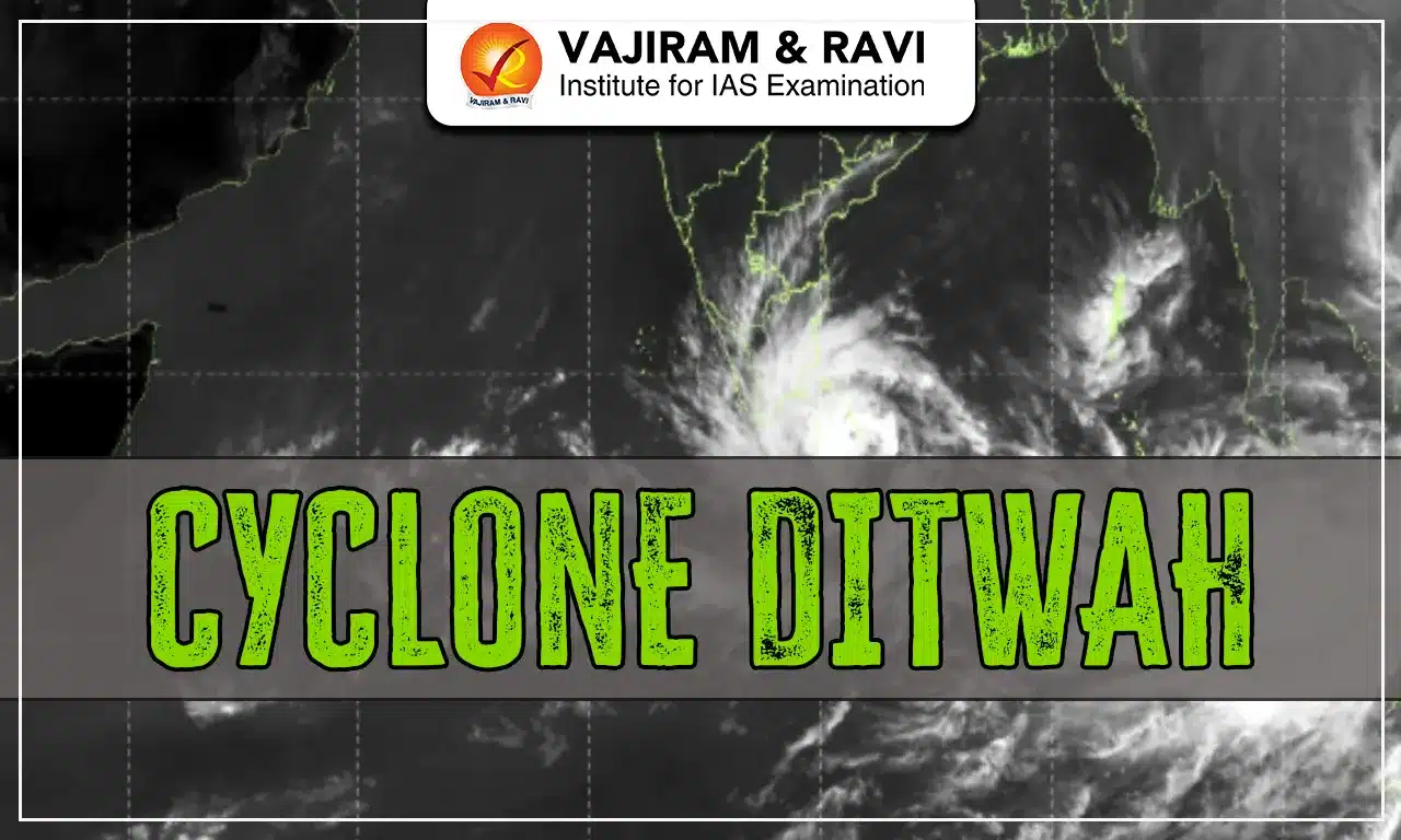
Cyclone Ditwah is the latest tropical cyclone to form over the Southwest Bay of Bengal in November 2025. The India Meteorological Department (IMD) has issued multiple alerts for Tamil Nadu, Puducherry, and South Andhra Pradesh as the system continues to intensify.
The article below discusses the origin, naming, IMD Forecast and Impact of Cyclone Ditwah.
Cyclone Ditwah Origin
Cyclone Ditwah originated from a well-marked low-pressure area over the Southwest Bay of Bengal on 26 November 2025.
Key developing factors include:
- Warm Sea Surface Temperatures (28-30°C): essential energy source for cyclogenesis.
- Low Vertical Wind Shear (10-15 knots): enabling vertical development of clouds.
- Moisture-rich monsoonal winds feed the system.
- The system intensified from a low-pressure system to a depression to a deep depression and finally converted into a cyclonic storm within 24-36 hours.
Cyclone Ditwah Naming
- “Ditwah” is a name given by Yemen, as per the WMO-ESCAP (World Meteorological Organization & UN Economic and Social Commission for Asia-Pacific) cyclone naming list.
- The name refers to Detwah Lagoon, an ecologically significant coastal waterbody located in the Socotra Archipelago.
- Names are assigned sequentially from a pre-approved list contributed by 13 member countries, which includes Bangladesh, India, Iran, Maldives, Myanmar, Oman, Pakistan, Qatar, Saudi Arabia, Sri Lanka, Thailand, United Arab Emirates, and Yemen.
Cyclone Ditwah IMD Forecast
According to the latest IMD bulletins:
- The system is likely to move north-northwestwards towards the Tamil Nadu-Puducherry-South Andhra Pradesh coast.
- Expected peak wind speeds: 70-90 km/h, with possible higher gusts near the centre.
- Landfall prediction: Around 30 November 2025, depending on its track and intensification.
- IMD has issued:
- Red Alert for heavy to very heavy rainfall in coastal Tamil Nadu & Puducherry.
- Orange Alert for South Andhra Pradesh districts.
- Fishermen Warning: Total suspension of fishing in the Southwest and West-Central Bay of Bengal.
- Sea Condition: Very rough to high.
Cyclone Ditwah and Operation Sagar Bandhu
India has expressed heartfelt condolences to the people of Sri Lanka affected by Cyclone Ditwah and wished for their safety and quick recovery.
To support emergency needs, India has urgently dispatched relief materials and HADR assistance under Operation Sagar Bandhu. Guided by the Neighbourhood First policy and Vision MAHASAGAR, India remains committed to helping Sri Lanka during this crisis.
Why Cyclones Mostly Form in the Bay of Bengal
The Bay of Bengal is a major cyclogenesis zone, especially in the post-monsoon months (October–December).
Reasons include:
- Higher Sea Surface Temperatures than the Arabian Sea due to weaker heat dissipation.
- Freshwater influx from major rivers (Ganga, Brahmaputra, Irrawaddy) creating layered warm water, ideal for cyclone formation.
- Low vertical wind shear in the region.
- Favourable Madden-Julian Oscillation (MJO) phases enhancing convection.
- Geographical funnel-shape, amplifying wind convergence.
- Warm ocean eddies that energize depressions.
Because of these factors, nearly 75% of North Indian Ocean cyclones originate in the Bay of Bengal.
Cyclone Ditwah Impact
Cyclone Ditwah Impact on Sri Lanka
- Sri Lanka has already faced widespread flooding, landslides, and severe storm damage.
- As per early reports: 120+ deaths, dozens injured, and significant displacement.
- Transport routes, bridges, and communication lines were disrupted in multiple districts.
Cyclone Ditwah Expected Impact on India
- Heavy to extremely heavy rainfall in coastal Tamil Nadu, Puducherry, and South Andhra Pradesh.
- Urban flooding likely in Chennai, Cuddalore, and Puducherry.
- Strong winds may uproot trees, disrupt power supply, and damage kutcha structures.
- Agricultural losses possible in paddy fields, banana crops, and coastal fisheries.
- High waves & storm surge threatening low-lying coastal belts.
Cyclone Ditwah FAQs
Q1: What is Cyclone Ditwah?
Ans: A tropical cyclone that formed over the Southwest Bay of Bengal in and is moving towards the South Indian coast.
Q2: Who named the cyclone “Ditwah”?
Ans: Yemen. The name refers to Detwah Lagoon in the Socotra Archipelago.
Q3: Which states in India will be affected?
Ans: Tamil Nadu, Puducherry, and South Andhra Pradesh are expected to see heavy rainfall, strong winds, and rough seas.
Q4: Why do more cyclones form in the Bay of Bengal?
Ans: Due to warm sea temperatures, low wind shear, humid monsoonal winds, riverine freshwater layers, and favourable geography.
Q5: Will Cyclone Ditwah impact North India?
Ans: No major impact expected. Only minor temperature or wind changes may occur depending on the system’s movement.
