Barak River Latest News
The Senapati Forest Division recently launched Participatory Rural Appraisal (PRA) exercises as a pilot initiative to rejuvenate the Barak River watershed while simultaneously strengthening local livelihoods.
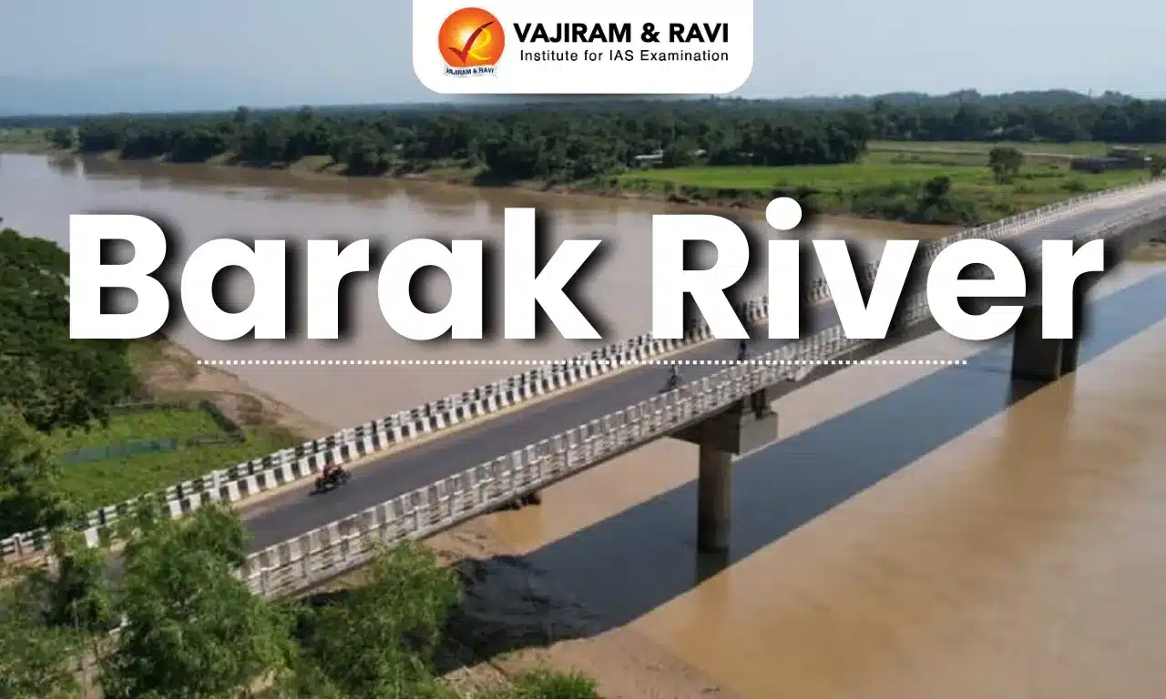
About Barak River
- It is a river in northeastern India that flows through Manipur, Mizoram, and Assam before entering Bangladesh.
- It is the second largest river in Northeast India after the Brahmaputra.
- Course:
- It rises from the Manipur hills, south of Mao in the Senapati district of Manipur, at an elevation of 2,331 m.
- It flows then along the Nagaland-Manipur border through hilly terrains and enters Assam.
- In Assam, the Barak Valley gets its name from the river and includes the districts of Cachar, Hailakandi, and Karimganj, forming the southernmost part of the state.
- Just before flowing into the neighboring country of Bangladesh, the Barak splits into the Surma River and the Kusiyara River.
- These two rivers meet to form the Meghna River, which flows southward, joins the Padma River, and finally drains into the Bay of Bengal.
- Length: It has a length of about 900 km. It spans 524 km in India, with a significant part along the Indo-Bangladesh border.
- The Barak River basin, formed by the Barak and its tributaries, drains India, Bangladesh, and Myanmar.
- In India the basin spreads over states of Meghalaya, Manipur, Mizoram, Assam, Tripura, and Nagaland.
- It is bounded by the Barail range separating it from the Brahmaputra basin on the north, by the Naga and Lushai hills on the east, and by the Mizo hills and the territory of Bangladesh on the south and west.
- The entire basin falls in the Eastern Himalayan region of the Agro Climatic Zone.
- The major part of the basin is covered by forest.
- Due to the hilly topography, terrace farming is common in this region.
- Tributaries: The principal tributaries of the Barak are Jiri, Chiri, Modhura, Jatinga, Harang, Dhaleswari, Singla, Longai, Sonai, and Katakhal.
- There are four major dams, namely Khoupum Dam, Mawphlang Dam, Gumti Hydro Dam, and Myntdu-Leshka Dam.
- The 121-km stretch of the river between Lakhipur and Bhanga in Assam was declared by the Government of India as National Waterway 16.
Source: ITNE
Barak River FAQs
Q1: In which part of India is the Barak River located?
Ans: The Barak River is located in northeastern India.
Q2: Which Indian states does the Barak River flow through before entering Bangladesh?
Ans: It flows through Manipur, Mizoram, and Assam.
Q3: From where does the Barak River originate?
Ans: It rises from the Manipur Hills south of Mao in the Senapati district of Manipur.
Q4: What is the total length of the Barak River?
Ans: The Barak River is about 900 km long.
Q5: Which countries are drained by the Barak River basin?
Ans: India, Bangladesh, and Myanmar.
