North Island Latest News
A magnitude 5.5 earthquake struck the North Island region of New Zealand recently.
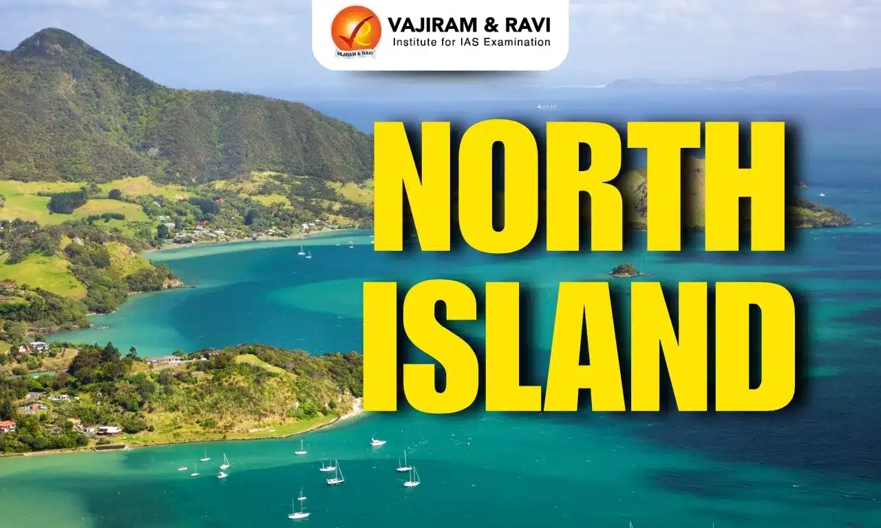
About North Island
- It is one of the two main islands of New Zealand in the South Pacific Ocean.
- It is separated from the South Island by Cook Strait.
- It covers an area of about 113,729 sq.km. This makes it the 14th largest island in the world.
- The North Island is smaller than the South Island but has more people living on it.
- About 77% of all New Zealand residents live on the North Island.
- It is the most populated island in Polynesia.
- The island’s terrain rises to a central mountain range (a continuation of the South Island range), which parallels the east coast.
- The range reaches its highest point at the volcanic Mount Ruapehu (2,797 metres) within Tongariro National Park (designated a UNESCO World Heritage Site in 1990).
- Many important cities are found on the North Island.
- These include Auckland, which is the largest city.
- The capital city of New Zealand, Wellington, is also located here.
- Other major cities are Hamilton, Tauranga, and Rotorua.
- Important bodies of water on the island include:
- Lake Taupō
- Waikato River
- Whanganui River
- The North Island has several active and dormant volcanoes:
- Auckland Volcanic Field
- Mount Ruapehu
- Mount Taranaki (also called Taranaki Maunga)
- Mount Tarawera
- Whakaari/ White Island
- North Island Volcanic Plateau
Source: IT
North Island FAQs
Q1: What is the North Island?
Ans: It is one of the two main islands of New Zealand located in the South Pacific Ocean.
Q2: Which strait separates the North Island from the South Island?
Ans: The Cook Strait separates the two islands.
Q3: What is the highest point on the North Island?
Ans: Mount Ruapehu at 2,797 metres.
Q4: Which is the largest city located on the North Island?
Ans: Auckland is the largest city.
Q5: Which capital city of New Zealand is located on the North Island?
Ans: Wellington is located on the North Island.
