Muna Island Latest News
The painted outline of a human hand inside a cave on the Indonesian island of Muna represents what researchers are calling the oldest example of rock art in the world, created at least 67,800 years ago.
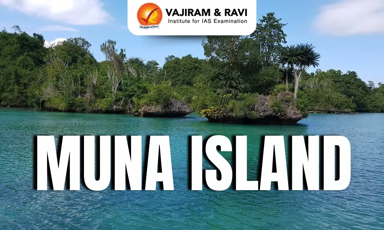
About Muna Island
- It is situated in the Southeast Sulawesi province of Indonesia.
- With an area of 1,704 sq.km., it has a hilly surface, rising to 1,460 feet (445 metres). The north and northeast have teak forests.
- It is known for its diverse culture and natural beauty, including lush forests and pristine beaches.
- The island is home to the Muna people, who have a rich cultural heritage and are known for their traditional crafts and dances.
- The economy of Muna Island is primarily based on agriculture, fishing, and local crafts.
- The main town and principal port is Raha, on the northeastern coast across the Strait of Buton from the neighbouring island of Buton to the east.
- One of the most famous natural attractions on Muna Island is the Liangkobori Cave, which contains prehistoric paintings.
- Additionally, there is Napabale Lake, which has a natural tunnel connecting it directly to the sea.
Source: REUT
Muna Island FAQs
Q1: Where is Muna Island located?
Ans: It is located in the Southeast Sulawesi province of Indonesia.
Q2: What type of terrain characterises Muna Island?
Ans: It has a hilly surface.
Q3: What is the main town and principal port of Muna Island?
Ans: Raha
Q4: Which island lies to the east of Muna Island?
Ans: Buton Island.
Q5: Which cave on Muna Island is famous for prehistoric paintings?
Ans: Liangkobori Cave.
