Sharda River Latest News
The Uttarakhand chief minister recently laid the foundation stone of the Sharda river corridor at Tanakpur in Champawat district.
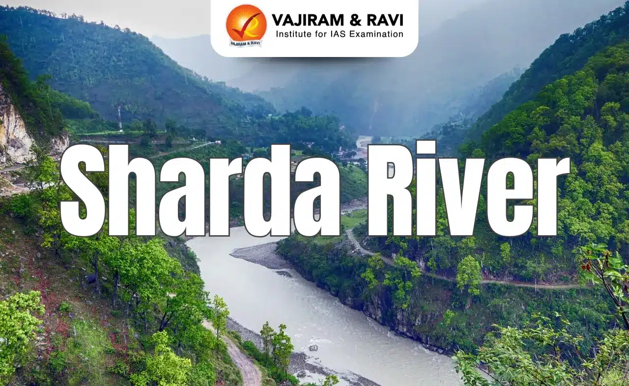
About Sharda River
- It is a transboundary river of northern India and western Nepal.
- Course:
- It rises as the Kali River in far northern Uttarakhand in the Great Himalayas on the eastern slopes of the Nanda Devi massif.
- The river then flows generally south-southwest, where it constitutes the border between Uttarakhand and Nepal.
- Descending from the mountains, it enters the Indo-Gangetic Plain at Barmdeo Mandi (Nepal), widening there above the Sharda Barrage. Below that point it is known as the Sharda River.
- The Sharda then continues southeastward into India through northern Uttar Pradesh state before joining the Ghaghara River (a tributary of the Ganges) southwest of Bahraich, after a course of about 300 miles (480 km).
- Its major tributaries are the Dhauliganga, Goriganga, and Sarju.
- The Sharda Barrage (dam), near Banbasa (Uttarakhand), is the source of the Sharda Canal (completed 1930), one of the longest irrigation canals in northern India.
Source: TOI
Sharda River FAQs
Q1: In which two countries does the Sharda River flow?
Ans: India and Nepal.
Q2: By which name is the Sharda River known in its upper course?
Ans: Kali River.
Q3: On the slopes of which massif does the Sharda River rise?
Ans: The Nanda Devi massif.
Q4: Which river does the Sharda River ultimately join?
Ans: The Ghaghara River.