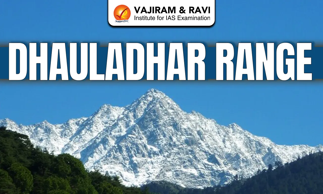
The Dhauladhar Range is a prominent mountain range in the Lesser Himalayas located in the state of Himachal Pradesh. The name Dhauladhar comes from Sanskrit, where “Dhawala” means white and “Dhar” means ridge, referring to its snow-covered peaks.
Dhauladhar Range Location and Extent
- The Dhauladhar Range lies primarily in the state of Himachal Pradesh, with a small extension into Jammu and Kashmir.
- It runs in an east-west direction, parallel to the main Himalayan axis.
- The range rises abruptly from the plains of the Kangra Valley, creating a sharp physiographic contrast.
Read about: Mountain Ranges in India
Dhauladhar Range Geology
- The Dhauladhar Range was formed as a result of the ongoing collision between the Indian Plate and the Eurasian Plate.
- It is composed mainly of sedimentary and metamorphic rocks, such as slate, schist, and limestone.
- The region lies close to major Himalayan fault systems and is therefore seismically active.
Dhauladhar Range Physiography
- The Dhauladhar Range is characterised by steep slopes, sharp ridges, and narrow valleys.
- It rises suddenly from low elevations of about 1,000 metres in the Kangra Valley to peaks exceeding 5,000 metres.
- This steep gradient makes the range prone to landslides and erosion.
- The highest peak of the Dhauladhar Range is Hanuman Tibba, with a height of about 5,639 metres.
- The Indrahar Pass is the most important mountain pass across the Dhauladhar Range. The pass historically connected the Kangra Valley with Chamba and Lahaul regions.
- Lam Dal lake (glacial lake) is situated in this range. Other notable examples include Kundal Lake, Kareri Lake, Nag Dal Lake, Khajjiar Lake, Chanderkoop Lake (Moon Lake)
Read about: Aravalli Range
Dhauladhar Range Climate
- The Dhauladhar Range experiences a temperate to alpine climate.
- The southern slopes receive heavy rainfall from the southwest monsoon, making them among the wettest parts of Himachal Pradesh.
- The northern slopes lie in the rain-shadow area and are comparatively drier.
- Winters are cold with substantial snowfall at higher elevations.
Dhauladhar Range Drainage and River Systems
- The Dhauladhar Range acts as an important water divide in Himachal Pradesh.
- Rivers originating or influenced by the range include the Beas River and tributaries of the Ravi River.
- The range forms a natural watershed between the Beas and Ravi river systems.
Ecology and Biodiversity
- The lower slopes of the Dhauladhar Range support sub-tropical and temperate forests, including sal, pine, oak, and deodar.
- Higher elevations are characterised by alpine meadows and shrubs.
- The range supports rich biodiversity, including species such as the Himalayan black bear, goral, and snow leopard in the upper reaches.
Dhauladhar Range Hill Stations
The Dhauladhar Range is associated with several famous hill stations in Himachal Pradesh, mainly located in the Kangra region. Important hill stations are Dharamshala, McLeod Ganj, Palampur, Dalhousie.
Dhauladhar Range FAQs
Q1: Where is the Dhauladhar Range located?
Ans: Mainly in Himachal Pradesh, with a small part in Jammu & Kashmir, running east-west above the Kangra Valley.
Q2: Dhauladhar Range is part of which Himalayas?
Ans: Dhauladhar Range is part of the Middle or Lesser Himalayas.
Q3: What is the highest peak of the Dhauladhar Range?
Ans: Hanuman Tibba (5,639 metres) is the highest peak of the Dhauladhar Range.
Q4: Which hill stations are located in the Dhauladhar Range?
Ans: Dharamshala, McLeod Ganj, Palampur, Dalhousie are some of the famous hill stations located in the Dhauladhar Range.
Q5: What is the climate of the Dhauladhar Range?
Ans: Temperate to alpine, with heavy rainfall on southern slopes and snowy winters at higher elevations.