The Karakoram Range, also known as Krishnagiri, is the northernmost Trans-Himalayan range in India. The name Karakoram is derived from a Turkic term meaning “Black Rock” or “Black Mountain.”
The range is geopolitically significant as the borders of India, Pakistan, China, Afghanistan, and Tajikistan converge in this region.
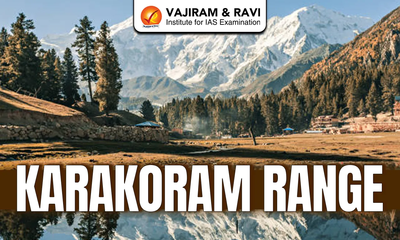
Karakoram Range Location and Extent
- The Karakoram range is a mountain range in Asia located primarily in the Kashmir region.
- It lies to the north of the Great Himalayan Range and extends across Ladakh in India, Gilgit-Baltistan in Pakistan, and Xinjiang in China.
- It is a part of the Trans-Himalayan mountain system.
- It is bounded by Pamir Plateau in the northwest, Kunlun Mountains in the north, Himalayan Range in the south.
- The range runs in a north-west to south-east direction and acts as a natural barrier between the Indian subcontinent and Central Asia.
Karakoram Range Geology
- The Karakoram range was formed during the Cenozoic era.
- It is a young fold mountain range. It formed due to the collision of the Indian Plate with the Eurasian Plate.
- Due to active tectonics, the region is highly prone to earthquakes and landslides.
- The region is structurally complex and consists mainly of igneous and metamorphic rocks, such as granite and gneiss.
- Major geological features include the Karakoram Fault and the Indus-Tsangpo Suture Zone, which indicate intense tectonic activity.
Karakoram Range Relief and Physiography
- The Karakoram Range is known for its extremely rugged and steep terrain.
- The Karakoram Range contains some of the highest peaks on Earth including K2 (Mount Godwin-Austen), at 8,611 metres, which is the second highest peak in the world.
- The Karakoram Range is marked by deep, narrow, and glaciated valleys formed by tectonic uplift and intense glacial erosion. Important valleys include the Nubra Valley in Ladakh, Hunza Valley in Gilgit-Baltistan, Shigar Valley, Shimshal Valley.
- The Karakoram Range contains several high-altitude passes such as the Karakoram Pass, Khunjerab Pass, and Saser La, which have historically served as trade and strategic routes between South Asia, Central Asia, and China.
Karakoram Range Glaciers
- The Karakoram Range is one of the most heavily glaciated regions outside the polar areas.
- Major glaciers include the Siachen Glacier, Baltoro Glacier, Biafo Glacier, and Hispar Glacier.
- The region exhibits the Karakoram Anomaly, where many glaciers are stable or advancing despite global warming trends. This anomaly is attributed to high-altitude snowfall, lower summer temperatures, and the dominance of western disturbances.
Karakoram Range Drainage
- The rivers of the Karakoram Range are mainly glacier-fed.
- The Karakoram Range acts as a water divide, with rivers on its southern side draining into the Indus basin and those on the northern side draining into the Yarkand - Tarim basin.
- Rivers such as the Indus, Shyok, Nubra, and Hunza originate from or are fed by Karakoram glaciers.
Karakoram Range Climate
- Karakoram Range experiences a cold desert climate with extremely low annual precipitation.
- The Indian monsoon has very little influence on the region, and most precipitation occurs in the form of winter snowfall due to western disturbances.
- The region experiences long, severe winters and short, cool summers, along with large diurnal temperature variations.
Karakoram Range Ecology and Biodiversity
- Due to harsh climatic conditions, vegetation in the Karakoram is sparse and mainly consists of alpine grasses and cold desert shrubs.
- Despite extreme conditions, the region supports rare wildlife such as the snow leopard, Himalayan ibex, and blue sheep.
Karakoram Range FAQs
Q1: The Karakoram Range belongs to which mountain system?
Ans: It is part of the Trans-Himalayan mountain system, lying north of the Greater Himalayas.
Q2: Which is the highest peak of the Karakoram Range?
Ans: K2 (Mount Godwin-Austen) at 8,611 m, the second-highest peak in the world.
Q3: Siachen Glacier is a part of which mountain range.
Ans: The Siachen Glacier is a part of Karakoram Range.
Q4: The Karakoram Range forms a watershed between which two river basins?
Ans: Between the Indus Basin (south) and the Yarkand–Tarim Basin (north).
Q5: What is the “Karakoram Anomaly”?
Ans: A phenomenon where many Karakoram glaciers are stable or advancing, unlike most Himalayan glaciers which are retreating.