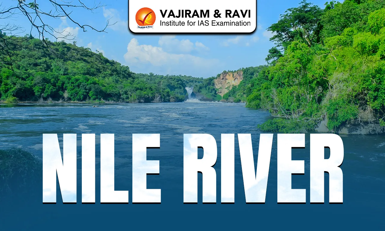
The Nile River is the longest river in the world, measuring roughly 6,650 kilometres in length. It flows from south to north through northeastern Africa and drains into the Mediterranean Sea near Alexandria. It has historically been called the “lifeline of Egypt” because it provides water, fertile soil, and resources that have supported agriculture, settlements, and the development of Egyptian civilization for thousands of years.
Nile River Origin and Source
- The Nile River originates in Burundi, south of the equator, and flows northward through northeastern Africa.
- The Nile River does not originate from a single source. It is formed by the confluence of two major river systems, namely the White Nile and the Blue Nile. The White Nile and Blue Nile meet at Khartoum, Sudan, forming the main Nile that flows north through Sudan and Egypt. From there, the river forms a delta and spreads into multiple channels before reaching the Mediterranean Sea.
White Nile
- The White Nile is considered the primary source river of the Nile because it provides a continuous, year-round flow. Rainfall in the equatorial region ensures that the White Nile provides a steady supply of water even during the dry season.
- It originates from Lake Victoria, which lies within Tanzania, Uganda, and Kenya.
- Lake Victoria is fed by several rivers, the most important being the Kagera River, which is often regarded as the ultimate headstream of the White Nile. The Kagera River originates from the highlands of Rwanda and Burundi.
- From Lake Victoria, the river emerges as the Victoria Nile, flowing through Uganda, passing through Lake Kyoga and Lake Albert, before entering South Sudan, where it is known as the White Nile.
Blue Nile
- The Blue Nile originates from Lake Tana in Ethiopia and flows westward into Sudan where it joins the White Nile at Khartoum.
- The river flows from Lake Tana through deep gorges in Ethiopia before entering Sudan.
- Despite being shorter than the White Nile, the Blue Nile contributes nearly 60–70% of the Nile’s total water volume and most of its fertile silt.
The Atbara River, another important tributary, also originates in the Ethiopian Highlands. It is a seasonal river and contributes water mainly during the rainy season, enhancing the floodwaters of the Nile.
Read about: Tigris River
Nile River Basin
- The Nile River Basin is the area drained by the Nile and its tributaries.
- The Nile Basin spans 11 countries: Burundi, Rwanda, Tanzania, Uganda, Kenya, Democratic Republic of the Congo, South Sudan, Sudan, Ethiopia, Eritrea, and Egypt.
- The basin covers about 3.4 million km², making it one of the largest river basins in the world.
- It includes diverse landscapes: lakes, swamps, floodplains, deserts, and highlands.
- The basin supports agriculture, fishing, drinking water, hydroelectric power, and transportation.
The Nile River is not “owned” by any single country. It is an international river shared by 11 countries in its basin.
Nile Delta
- The Nile River forms a large, fan-shaped arcuate delta in northern Egypt.
- The delta was formed by the continuous deposition of fine alluvial sediments carried by the Nile, mainly from the Ethiopian Highlands and parts of the Central African plateau. As a result, it became one of the most fertile regions in the world and developed into the agricultural heartland of Egypt, producing crops such as wheat, rice, cotton, sugarcane, and vegetables, and earning the title of the “Granary of Egypt.”
- The Nile Delta supports one of the highest population densities in Africa. About 95% of Egypt’s population lives on only 3–4% of its land area, mainly along the Nile. Major urban centers such as Alexandria, Mansoura, Tanta, and the outskirts of Cairo are located within or at the margins of the delta.
- Ecologically, the Nile Delta contains important wetlands and lagoons such as Lake Manzala and Lake Burullus, which support fisheries, migratory birds, and diverse aquatic ecosystems.
Read about: Phalgu River
Nile River Dams and Reservoirs
The Nile River has several major dams and reservoirs constructed mainly for flood control, irrigation, hydroelectric power generation etc. Major dams are listed below:
- Aswan High Dam, located near Aswan in Southern Egypt, is the most important dam. It created Lake Nasser, one of the largest artificial reservoirs in the world.
- Aswan Low Dam in Egypt, located downstream of the High Dam. It is the first major dam constructed across the Nile.
- Merowe Dam, located on the Nile in northern Sudan.
- Roseires Dam, located on the Blue Nile near the Ethiopian border.
- Sennar Dam in Sudan
- Grand Ethiopian Renaissance Dam (GERD), located on Blue Nile in northwestern Ethiopia. It is Africa’s largest hydroelectric project. It has become a major source of water-sharing tensions among Ethiopia, Egypt, and Sudan.
Owen Falls Dam or Nalubaale Dam, located in Uganda, at the outlet of lake Victoria.
Nile River FAQs
Q1: Which is the longest river in the world?
Ans: The Nile River is traditionally considered the longest river in the world, with an approximate length of 6,650 km.
Q2: In which direction does the Nile flow?
Ans: The Nile flows from south to north, originating in equatorial and Ethiopian highlands and emptying into the Mediterranean Sea in northern Egypt.
Q3: Into which sea does the Nile drain?
Ans: The Nile drains into the Mediterranean Sea through a large delta in northern Egypt.
Q4: Which are the two main tributaries of the Nile?
Ans: The two major tributaries are: White Nile and Blue Line.
Q5: How many countries are part of the Nile Basin?
Ans: The Nile Basin spans 11 countries:Burundi, Rwanda, Tanzania, Uganda, Kenya, DR Congo, South Sudan, Sudan, Ethiopia, Eritrea, and Egypt.