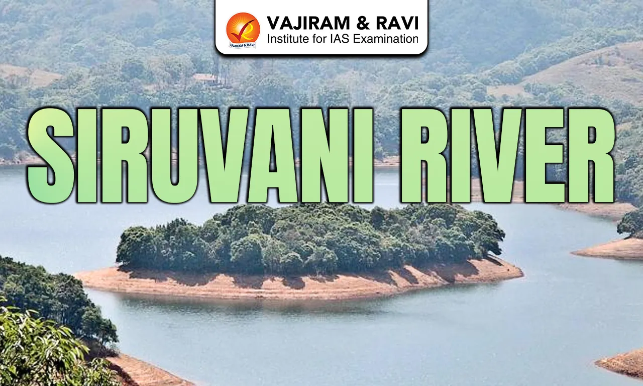
The Siruvani River is a short but significant perennial river flowing near Coimbatore in southern India. It originates in the Western Ghats in Palakkad district of Kerala and flows about 35 kilometers eastward before joining the Bhavani River near Koodapatti, which later merges with the Cauvery basin. The river lies partly near Mannarkkad in Kerala and briefly touches the Kerala-Tamil Nadu border. Siruvani supports major drinking water supply infrastructure and important ecological zones within the Nilgiri Biosphere Reserve.
Siruvani River Features
The Siruvani River is hydrologically important despite its short length and limited basin size.
- Origin: The river rises from the Muthikulam hill waterfall region in the Western Ghats of Palakkad district, Kerala. Streams from Muthikulam Falls, Pattiar and Paambar converge to form the river at elevations exceeding 800 meters, ensuring perennial flow supported by forested catchments.
- Course: Flowing eastward for nearly 35 km, the river moves through dense reserve forests of Attappady valley. It briefly borders Tamil Nadu before joining the Bhavani River near Koodapatti, thereby contributing indirectly to the Cauvery river system.
- Basin Area: The watershed spreads across approximately 215 square kilometers within the Nilgiri Biosphere Reserve. The immediate catchment above the dam covers about 22.47 sq km and is classified as reserved forest, reducing human disturbance and protecting water quality.
- Tributaries: The river does not have major named tributaries. It is mainly fed by small forest streams draining steep slopes of the Western Ghats.
- Rainfall: Annual rainfall in the basin ranges between 1,000 and 1,800 mm, mainly from the southwest monsoon. Flow peaks from June to September, while summer discharge reduces significantly, sometimes dropping to minimal inflow levels during weak rainfall years.
- Siruvani Dam: Built across the river in 1984, the masonry gravity dam stands 57 meters high and 224 meters long. It has a gross storage capacity of 25.50 million cubic meters, including 18.47 MCM live storage and 7.08 MCM dead storage.
- Water Allocation: Under the 1973 interstate agreement, Tamil Nadu receives 36.80 million cubic meters (1.3 TMC) annually for drinking purposes. Kerala is assured a minimum downstream release of 5 cusecs as riparian flow.
- Drinking Water Supply: Water is transported through a gravity fed system to Coimbatore city, supplying around 100 million liters per day during normal reservoir conditions. The supply distance is roughly 30-35 kilometers from dam to treatment facilities.
- Tourism: The Siruvani Dam and Siruvani Waterfalls are major tourist attractions in southern India. Banan Fort lies about 15-25 km west of Coimbatore near the reservoir area, increasing regional tourism importance.
- Interstate Water Disputes: In 2012 and 2016, Kerala proposed check dams and irrigation projects, which Tamil Nadu opposed, citing risk to Coimbatore’s drinking supply and downstream Bhavani agriculture in Erode and Tirupur districts.
- Human Settlements: Indigenous communities such as the Muduga and Irula tribes inhabit upstream forest regions. Coimbatore city heavily depends on Siruvani water, making it critical for urban sustainability in western Tamil Nadu.
- Development Concerns: Soil erosion risks, monsoon variability, reservoir seepage issues, and interstate coordination challenges affect long term sustainability. Catchment protection remains essential to maintain water quality and storage reliability.
Also Read: Limpopo River
Siruvani River Biodiversity
The Siruvani River lies within the biodiversity rich Western Ghats ecosystem.
- Forest: The basin supports tropical evergreen and semi-evergreen forests, along with shola-grassland systems.
- Tree Species: It include Cullenia exarillata, Mesua ferrea, Palaquium ellipticum and Dipterocarpus indicus, reflecting high Western Ghats endemism.
- Floral Diversity: Over 130 species of microlichens and several endemic plants have been recorded in the region. The presence of threatened species such as Veteria macrocarpa highlights its ecological sensitivity.
- Mammals: Wildlife includes Asian elephants, Indian leopards, gaurs, dholes, sambar deer and wild boar. Endangered primates like the lion tailed macaque and Nilgiri langur inhabit the forested slopes.
- Bird Species: Around 158 bird species have been recorded, including Western Ghats endemics such as Nilgiri wood pigeon and Nilgiri laughingthrush. Several species fall under IUCN threatened categories.
- Environmental Pressures: Dam construction, reservoir submergence, land use change and check dam proposals have fragmented habitats. However, protected forest cover within the Nilgiri Biosphere Reserve continues to preserve ecological balance.
Also Read: Danube River
Siruvani River FAQs
Q1: Where does the Siruvani River originate?
Ans: The Siruvani River originates from the Muthikulam hill waterfall region in the Western Ghats of Palakkad district, Kerala, at high elevations within reserve forest areas.
Q2: Which major river does Siruvani River join?
Ans: Siruvani River joins the Bhavani River near Koodapatti, and the Bhavani later merges with the Cauvery River basin.
Q3: What is the purpose of the Siruvani Dam?
Ans: The Siruvani Dam, completed in 1984, primarily supplies drinking water to Coimbatore city under a 1973 interstate water sharing agreement.
Q4: How much water is allocated to Tamil Nadu from the Siruvani River?
Ans: Tamil Nadu receives 36.80 million cubic meters (1.3 TMC) of water annually from the Siruvani River for drinking purposes.
Q5: Why is the Siruvani River ecologically important?
Ans: The river flows through the Nilgiri Biosphere Reserve and supports tropical evergreen forests, elephants, lion tailed macaques, and over 150 bird species.