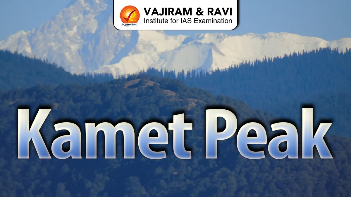
Kamet Peak, rising majestically to an elevation of 7,756 meters (25,446 feet), is the second-highest peak in the Garhwal region of Uttarakhand, India. Known for its pyramid-shaped peak and challenging climbing routes, Kamet is part of the Zaskar Range, a subset of the mighty Kumaon Himalayas.
Located near the Tibet border, this peak is a symbol of adventure for mountaineers and a breathtaking sight for trekkers and nature enthusiasts.
Kamet Peak Geography
- Location: Chamoli District, Uttarakhand, India, near the India-Tibet border.
Mountain Range: Zaskar Range, part of the Kumaon Himalayas. - Elevation: 7,756 meters (25,446 feet) – second-highest peak in the Garhwal region.
- Nearby Peaks: Abi Gamin (7,355 m) and Mana Peak (7,272 m).
- Glaciers: East Kamet Glacier and West Kamet Glacier feed tributaries of the Ganges.
- Terrain: Pyramid-shaped peak with rugged cliffs, snowfields, and steep glacier slopes.
- Significance: Natural border between India and Tibet; attracts climbers and trekkers from around the world.
Also Read: Fold Mountains
Kamet Peak Flora and Fauna
- Flora:
- Alpine shrubs and hardy grasses adapted to high altitudes.
- Rare high-altitude flowers like Rheum nobile and Meconopsis species.
- Medicinal herbs used by local communities for traditional remedies.
- Fauna:
- Himalayan ibex and tahr grazing on alpine meadows.
- Snow leopards and Himalayan wolves in remote areas.
- Migratory birds like the Himalayan snowcock and choughs.
- Small mammals and insects uniquely adapted to extreme cold.
- Ecological Importance:
- Glacial runoff supports rivers like Dhauliganga and Alaknanda.
- Alpine flora prevents soil erosion and sustains mountain biodiversity.
- Wildlife thrives in this remote, undisturbed ecosystem.
Also Read: Ural Mountains
Kamet Peak FAQs
Q1: Where is Kamet Peak located?
Ans: Kamet Peak is located in Chamoli District, Uttarakhand, India, near the India-Tibet border in the Zaskar Range of the Himalayas.
Q2: What is the elevation of Kamet Peak?
Ans: Kamet Peak stands at 7,756 meters (25,446 feet), making it the second-highest peak in the Garhwal region of Uttarakhand.
Q3: Who first climbed Kamet Peak?
Ans: The first successful ascent was in 1931 by a British expedition led by Frank Smythe.
Q4: What are the major glaciers around Kamet?
Ans: East Kamet Glacier and West Kamet Glacier are the primary glaciers, feeding rivers like Dhauliganga and Alaknanda.
Q5: What flora and fauna can be seen near Kamet Peak?
Ans: Flora: Alpine shrubs, medicinal herbs, and rare flowers like Rheum nobile. Fauna: Himalayan ibex, snow leopard, Himalayan tahr, and migratory birds.