Barak River Latest News
The Senapati Forest Division recently launched Participatory Rural Appraisal (PRA) exercises as a pilot initiative to rejuvenate the Barak River watershed while simultaneously strengthening local livelihoods.
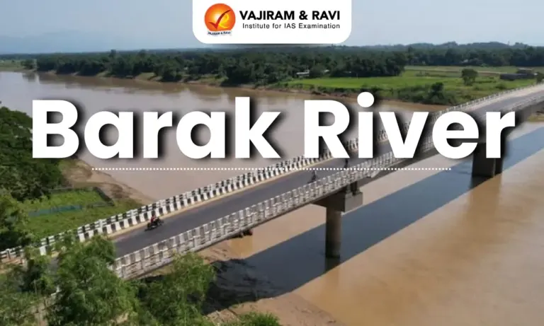
About Barak River
- It is a river in northeastern India that flows through Manipur, Mizoram, and Assam before entering Bangladesh.
- It is the second largest river in Northeast India after the Brahmaputra.
- Course:
- It rises from the Manipur hills, south of Mao in the Senapati district of Manipur, at an elevation of 2,331 m.
- It flows then along the Nagaland-Manipur border through hilly terrains and enters Assam.
- In Assam, the Barak Valley gets its name from the river and includes the districts of Cachar, Hailakandi, and Karimganj, forming the southernmost part of the state.
- Just before flowing into the neighboring country of Bangladesh, the Barak splits into the Surma River and the Kusiyara River.
- These two rivers meet to form the Meghna River, which flows southward, joins the Padma River, and finally drains into the Bay of Bengal.
- Length: It has a length of about 900 km. It spans 524 km in India, with a significant part along the Indo-Bangladesh border.
- The Barak River basin, formed by the Barak and its tributaries, drains India, Bangladesh, and Myanmar.
- In India the basin spreads over states of Meghalaya, Manipur, Mizoram, Assam, Tripura, and Nagaland.
- It is bounded by the Barail range separating it from the Brahmaputra basin on the north, by the Naga and Lushai hills on the east, and by the Mizo hills and the territory of Bangladesh on the south and west.
- The entire basin falls in the Eastern Himalayan region of the Agro Climatic Zone.
- The major part of the basin is covered by forest.
- Due to the hilly topography, terrace farming is common in this region.
- Tributaries: The principal tributaries of the Barak are Jiri, Chiri, Modhura, Jatinga, Harang, Dhaleswari, Singla, Longai, Sonai, and Katakhal.
- There are four major dams, namely Khoupum Dam, Mawphlang Dam, Gumti Hydro Dam, and Myntdu-Leshka Dam.
- The 121-km stretch of the river between Lakhipur and Bhanga in Assam was declared by the Government of India as National Waterway 16.
Source: ITNE


![]() Last updated on March, 2026
Last updated on March, 2026
→ UPSC Final Result 2025 is now out.
→ UPSC has released UPSC Toppers List 2025 with the Civil Services final result on its official website.
→ Anuj Agnihotri secured AIR 1 in the UPSC Civil Services Examination 2025.
→ UPSC Marksheet 2025 is now out.
→ UPSC Notification 2026 & UPSC IFoS Notification 2026 is now out on the official website at upsconline.nic.in.
→ UPSC Calendar 2026 has been released.
→ Check out the latest UPSC Syllabus 2026 here.
→ UPSC Prelims 2026 will be conducted on 24th May, 2026 & UPSC Mains 2026 will be conducted on 21st August 2026.
→ The UPSC Selection Process is of 3 stages-Prelims, Mains and Interview.
→ Prepare effectively with Vajiram & Ravi’s UPSC Prelims Test Series 2026 featuring full-length mock tests, detailed solutions, and performance analysis.
→ Enroll in Vajiram & Ravi’s UPSC Mains Test Series 2026 for structured answer writing practice, expert evaluation, and exam-oriented feedback.
→ Join Vajiram & Ravi’s Best UPSC Mentorship Program for personalized guidance, strategy planning, and one-to-one support from experienced mentors.
→ Shakti Dubey secures AIR 1 in UPSC CSE Exam 2024.
→ Also check Best UPSC Coaching in India
Barak River FAQs
Q1. In which part of India is the Barak River located?+
Q2. Which Indian states does the Barak River flow through before entering Bangladesh?+
Q3. From where does the Barak River originate?+
Q4. What is the total length of the Barak River?+
Q5. Which countries are drained by the Barak River basin?+
Tags: barak river prelims pointers upsc current affairs upsc prelims current affairs