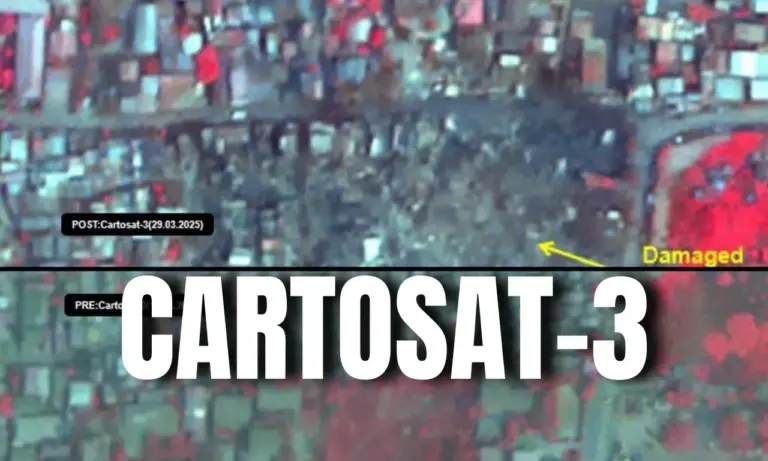
CARTOSAT-3 Latest News
ISRO’s CARTOSAT-3 Images Reveal Earthquake Damage in Myanmar
Why in the News?
- ISRO’s Earth observation satellite, CARTOSAT-3, captured high-resolution images of the destruction caused by the 7.7-magnitude earthquake that struck Myanmar on March 28, 2025.
- The post-disaster imagery (March 29) was compared with pre-event data (March 18) to assess the damage in Mandalay and Sagaing.


About CARTOSAT-3
- CARTOSAT-3 is a third-generation agile advanced Earth observation satellite developed by ISRO.
- It replaces the IRS (Indian Remote Sensing) series and has high-resolution imaging capabilities.
- Launched aboard the Polar Satellite Launch Vehicle (PSLV-C47).
Key Features
|
Feature |
Details |
|
Resolution |
Panchromatic resolution of 0.25 metres (sharpest among civil satellites). |
|
Orbit |
Placed at 509 km altitude, 97.5° inclination to the equator. |
|
Weight |
1,625 kg (more than double the mass of previous Cartosat satellites). |
|
Advanced technologies |
Includes highly agile cameras, high-speed data transmission, and an advanced computer system. |
|
Commercial use |
First commercial order from New Space India Limited (NSIL), the commercial arm of ISRO. |
Applications of CARTOSAT-3
- National Security & Defense:
- Military applications: Used for strategic surveillance, border security, and defense planning.
- Previous use: Cartosat-2 aided in 2016 surgical strikes across the LoC and 2015 Myanmar-Manipur operations.
- Disaster Management & Urban Planning:
- Assessing natural disasters: Earthquake, floods, and landslide monitoring.
- Urban & Rural Infrastructure Planning: Road networks, water distribution, and land-use regulation.
- Coastal Land Use & Regulation: Monitoring environmental changes along the coastline.
- Cartography & Remote Sensing:
- High-Resolution Mapping for geospatial applications.
- Detecting Natural & Man-Made Changes in geographical features.
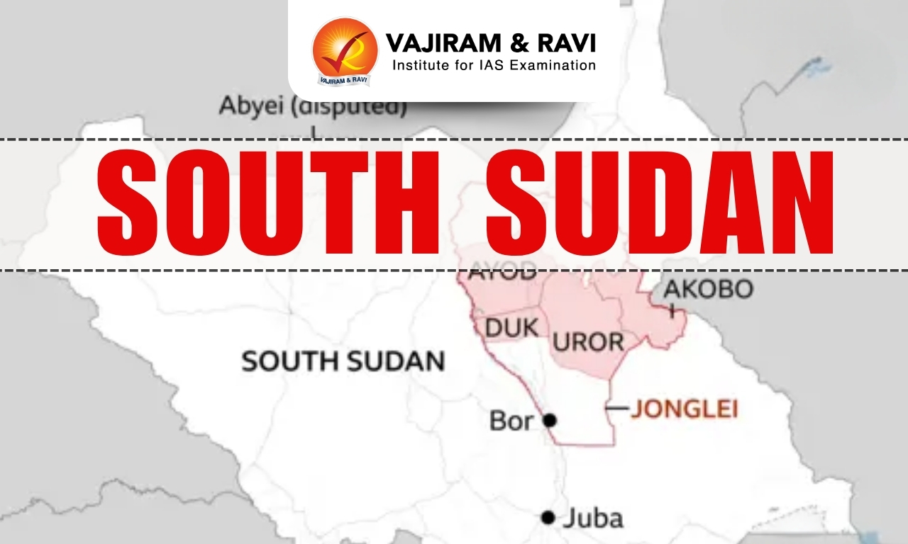
Cartosat Satellite Series
- Cartosat-1 to 3: High-resolution Earth observation, urban and rural planning.
- RISAT Series: Radar-based imaging for cloud-penetrating surveillance.
- Oceansat Series: Monitors Ocean parameters, weather forecasting, and marine studies.
- INSAT & Megha Tropiques: Atmospheric studies and climate research.
CARTOSAT-3 FAQs
Q1: What is CARTOSAT-3?
Ans: CARTOSAT-3 is an advanced Earth observation satellite launched by ISRO to provide high-resolution images for cartography, urban planning, and strategic applications.
Q2: When was CARTOSAT-3 launched, and what is its resolution?
Ans: It was launched on November 27, 2019, and has a ground resolution of 0.25 meters, making it India’s most advanced imaging satellite.
Q3: What is the main purpose of CARTOSAT-3?
Ans: It is used for mapping, disaster management, rural and urban planning, and defense applications.
Q4: Which launch vehicle was used to place CARTOSAT-3 in orbit?
Ans: PSLV-C47 (Polar Satellite Launch Vehicle) was used to launch CARTOSAT-3 into a sun-synchronous orbit.
Source: TH
![]() Last updated on March, 2026
Last updated on March, 2026
→ UPSC Final Result 2025 is now out.
→ UPSC has released UPSC Toppers List 2025 with the Civil Services final result on its official website.
→ Anuj Agnihotri secured AIR 1 in the UPSC Civil Services Examination 2025.
→ UPSC Marksheet 2025 is now out.
→ UPSC Notification 2026 & UPSC IFoS Notification 2026 is now out on the official website at upsconline.nic.in.
→ UPSC Calendar 2026 has been released.
→ Check out the latest UPSC Syllabus 2026 here.
→ UPSC Prelims 2026 will be conducted on 24th May, 2026 & UPSC Mains 2026 will be conducted on 21st August 2026.
→ The UPSC Selection Process is of 3 stages-Prelims, Mains and Interview.
→ Prepare effectively with Vajiram & Ravi’s UPSC Prelims Test Series 2026 featuring full-length mock tests, detailed solutions, and performance analysis.
→ Enroll in Vajiram & Ravi’s UPSC Mains Test Series 2026 for structured answer writing practice, expert evaluation, and exam-oriented feedback.
→ Join Vajiram & Ravi’s Best UPSC Mentorship Program for personalized guidance, strategy planning, and one-to-one support from experienced mentors.
→ Shakti Dubey secures AIR 1 in UPSC CSE Exam 2024.
→ Also check Best UPSC Coaching in India