

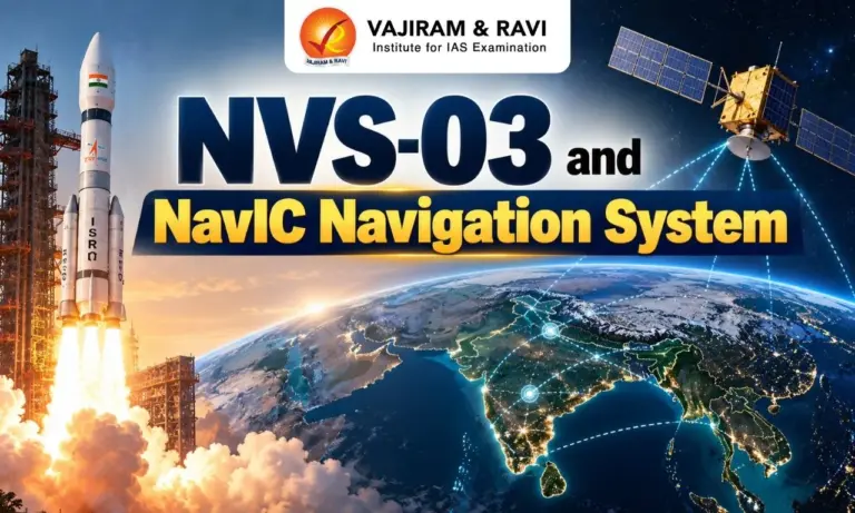
ISRO is scheduled to launch NVS-03 aboard GSLV-F18 on 30 October 2026 to strengthen NavIC, India’s regional satellite navigation system. NavIC currently has only three satellites available for positioning, navigation and timing services, below the minimum four required for basic standalone positioning.
NVS-03 Mission
NVS-03 is the third satellite in the second-generation NavIC series, which aims to improve the system’s reliability and service continuity.
- Launch vehicle: GSLV-F18.
- Launch site: Satish Dhawan Space Centre, Sriharikota, Andhra Pradesh.
- Scheduled launch: 30 October 2026 at 11:51 p.m. IST.
- Target orbit: Geosynchronous Transfer Orbit (GTO).
- Satellite mass: Approximately 2,250 kg.
- Key features: An indigenous atomic clock and support for the L1 navigation frequency alongside L5 and S-band signals.
After launch, the satellite must reach its intended orbit, complete testing and be commissioned before it can provide operational services.
NavIC: India’s Regional Navigation System
NavIC stands for Navigation with Indian Constellation. It is the operational name of the Indian Regional Navigation Satellite System (IRNSS), developed by ISRO to provide independent satellite-based positioning, navigation and timing services.
Main Features
- Coverage: India and an area extending approximately 1,500 km beyond its borders.
- Original constellation design: Seven satellites in geosynchronous and inclined geosynchronous orbits.
- Services: Standard Positioning Service for civilian users and Restricted Service for authorised users.
- Accuracy: ISRO specifies Standard Positioning Service accuracy better than 20 metres and timing accuracy better than 40 nanoseconds over the primary service area.
- Strategic significance: Provides India with an indigenous regional navigation capability and reduces dependence on foreign navigation systems.
How Satellite Navigation Works
Satellite navigation relies on precise timing signals transmitted by satellites.
- Satellites transmit signals containing timing and orbital information.
- A receiver estimates its distance from satellites by measuring the time taken for their signals to arrive.
- Signals from at least four satellites are generally needed to calculate a three-dimensional position and correct the receiver’s clock error.
- Atomic clocks are essential because timing errors can lead to inaccurate position calculations.


Second-Generation NavIC Satellites
ISRO has planned five second-generation satellites: NVS-01, NVS-02, NVS-03, NVS-04 and NVS-05.
Their main improvements include:
- Longer mission life: Designed for a mission life of approximately 12 years.
- Indigenous atomic clocks: Support technological self-reliance and reliable timing.
- L1 frequency: Added alongside the L5 and S-band signals used by NavIC.
- Improved interoperability: L1 is widely used by other navigation systems and supported by many consumer devices, including compatible single-frequency receivers.
- Constellation continuity: New satellites are intended to replace ageing spacecraft and strengthen service availability.
Applications of NavIC
A reliable constellation can support civilian services, public infrastructure and strategic operations.
- Transport: Navigation and location services for road transport and public vehicles.
- Railways: Real-time train tracking and related safety applications.
- Maritime activities: Navigation and communication support for vessels, including fishing boats.
- Disaster management: Location support for search, rescue and emergency response.
- Defence and security: Positioning and timing support for authorised strategic applications.
- Telecommunications and infrastructure: Precise timing for systems requiring synchronisation.
- Consumer technology: Navigation in compatible smartphones, wearables and other devices.
Actual use depends on receiver compatibility, signal availability and the operational status of the satellite constellation.
NavIC and Other Navigation Systems
The following table compares major satellite navigation systems based on the countries or regions that operate them and their geographical coverage.
|
System |
Country or region |
Coverage |
|
NavIC (IRNSS) |
India |
Regional |
|
GPS |
United States |
Global |
|
GLONASS |
Russia |
Global |
|
Galileo |
European Union |
Global |
|
BeiDou |
China |
Global |
|
QZSS |
Japan |
Regional augmentation system |
NavIC focuses on India and its surrounding region. GPS, GLONASS, Galileo and BeiDou provide global coverage, while Japan’s Quasi-Zenith Satellite System (QZSS) complements GPS coverage in the Asia-Pacific region.
Challenges Facing NavIC
NavIC faces challenges related to the availability of operational satellites, technical failures and limited use in consumer devices.
- Shortage of Operational Satellites: NavIC needs at least four operational satellites for basic standalone positioning. A shortage of functional satellites has disrupted this service.
- Atomic Clock Failures: Atomic clocks help satellites maintain accurate time, which is essential for navigation. Clock failures in some satellites have affected the system’s operational reliability.
- Failure of NVS-02: NVS-02 could not reach its intended orbit because its propulsion system failed to complete the required orbit-raising manoeuvres. This delayed its entry into operational service.
- Ageing Satellites: Several first-generation NavIC satellites have reached or exceeded their planned mission lives, making their timely replacement necessary.
- Limited Use in Consumer Devices: NavIC-compatible receivers are not widely available across consumer devices. This limits its wider use in smartphones and other navigation-enabled equipment.
Way Forward
- Complete the constellation: Progress with NVS-03, NVS-04 and NVS-05 is important for restoring and maintaining adequate satellite coverage.
- Strengthen reliability testing: Improve checks of connectors, propulsion systems and other critical components before launch.
- Expand indigenous technology: Develop reliable space-grade atomic clocks and reduce dependence on imported components.
- Improve receiver adoption: Encourage NavIC integration into compatible smartphones, vehicles, wearables and public infrastructure.
- Plan satellite replacement in advance: Reduce service gaps by replacing ageing satellites before the end of their operational lives.
- Expand applications: Promote suitable uses in railways, maritime navigation, disaster management and other public services.

 Last updated on Oct, 2026
→ UPSC 2027 Notification will be released on 13 January 2027 at upsconline.nic.in.
→ Check Nobel Prize 2026 Winners List here.
→ Download PIB PRiSM Monthly Magazine 2026 here.
→ Check UPSC Monthly Current Affairs Magazine The Recitals here.
→ Check out the latest UPSC Syllabus here.
→ Download UPSC Model Answers for Mains 2026
→ UPSC Mains Question Paper 2026 is out now for Essay & GS Paper 1, 2, 3 & 4.
→ UPSC Calendar 2027 has been released.
→ Enroll in Vajiram & Ravi’s UPSC Mains Test Series 2027 for structured answer writing practice, expert evaluation, and exam-oriented feedback.
→ Join Vajiram & Ravi’s UPSC Mentorship Program 2027 for personalized guidance, strategy planning, and one-to-one support from experienced mentors.
→ Go through the UPSC Mains Previous Year Papers to enhance your preparation.
→ UPSC has released UPSC Toppers List 2025 with the Civil Services final result on its official website.
→ Also check Best UPSC Coaching in India
NVS-03 and NavIC Navigation System FAQs
Q1. What is NavIC?+
Q2. What is NVS-03?+
Q3. When is NVS-03 scheduled to be launched?+
Q4. What is the coverage area of NavIC?+
Q5. Why does NavIC need at least four operational satellites?+
Q6. What are the major challenges facing NavIC?+
Q7. What are the key features of second-generation NavIC satellites?+
Q8. How is NavIC different from GPS?+
Q9. What are the major applications of NavIC?+
Q10. Why is NavIC important for India?+
Tags: isro isro nvs-03 mission nvs-03