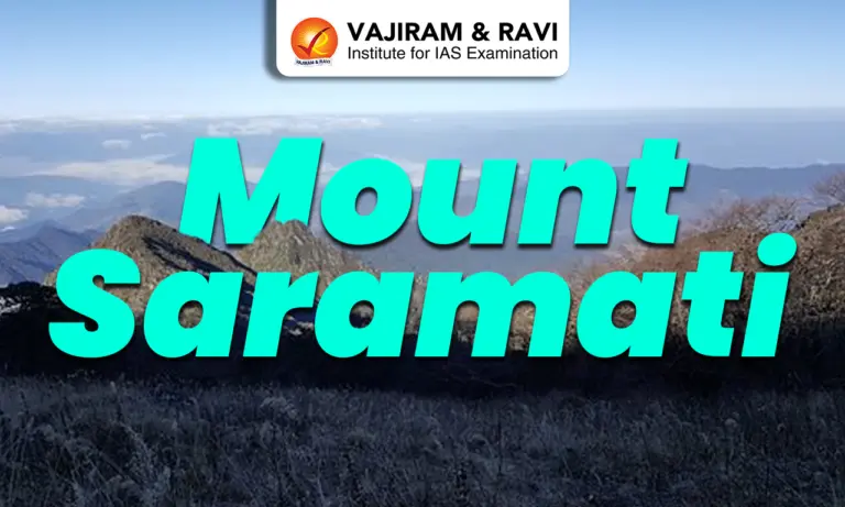
Mount Saramati is the highest peak in the state of Nagaland and is located in the eastern part of India, near the India-Myanmar border. border. It lies in the Patkai-Naga hill region, which forms part of the broader Purvanchal Hills of Northeast India. The Purvanchal Hills include the Naga Hills, Manipur Hills, and Mizo Hill. Mount Saramati is part of the Naga Hills, which are characterised by rugged terrain, steep slopes, and dense forest cover.
Key Details of Mount Saramati
- Location: Mount Saramati is located in Kiphire district of Nagaland near Thanamir village, along the India-Myanmar border in the eastern frontier region of India.
- Elevation: Approximately 3,826 metres (12,552 feet), making it the highest point in Nagaland.
- Significance: It is the highest peak of Nagaland and a prominent geographical landmark of Northeast India. It is also an important trekking destination and is often associated with Thanamir village, popularly known for its apple orchards.
- Biodiversity: The region lies within the Indo-Burma Biodiversity Hotspot and supports rich forest ecosystems ranging from subtropical evergreen forests at lower altitudes to temperate and alpine vegetation at higher elevations. It is ecologically significant for species diversity and endemism.
- Faunal Importance: The surrounding forests support species such as Hoolock gibbon, barking deer, wild boar, and several pheasant and hornbill species, making it an important wildlife habitat.
- Climate: The peak experiences cool climatic conditions, with parts of the higher reaches receiving snowfall during winter months, while the lower slopes remain covered with dense vegetation throughout the year.
- Strategic Importance: Being located on the India–Myanmar border, it holds geopolitical significance in terms of border security and India’s Act East Policy engagement with Southeast Asia.
- Cultural Importance: The mountain holds cultural significance for the Yimkhiung Naga tribe, who inhabit the region and maintain traditional practices closely linked to forest conservation and local ecology.


![]() Last updated on August, 2026
Last updated on August, 2026
→ UPSC Mains 2026 will be conducted on 21st, 22nd, 23rd, 29th and 30th August 2026.
→ Check out the latest UPSC Syllabus 2026 here.
→ UPSC Mains Admit Card 2026 is expected to be released in early August at upsc.gov.in or upsconline.nic.in
→ Enroll in Vajiram & Ravi’s UPSC Mains Test Series 2026 for structured answer writing practice, expert evaluation, and exam-oriented feedback.
→ Go through the UPSC Mains Previous Year Papers to enhance your preparation.
→ Download UPSC Mains Essay Paper 2025, UPSC Mains GS Paper-I 2025, UPSC Mains GS Paper-II 2025, UPSC Mains GS Paper-III 2025, UPSC Mains GS Paper-IV 2025, UPSC Mains English (Compulsory) Paper 2025, UPSC Mains Hindi (Qualifying) Paper 2025 here.
→ UPSC has released UPSC Toppers List 2025 with the Civil Services final result on its official website.
→ UPSC Calendar 2027 has been released.
→ Also check Best UPSC Coaching in India
Mount Saramati FAQs
Q1. Where is Mount Saramati located?+
Q2. What is the height of Mount Saramati? +
Q3. Which mountain system does Mount Saramati belong to?+
Q4. What type of vegetation is found in Mount Saramati region? +
Q5. Which biodiversity hotspot includes Mount Saramati?+
Q6. What kind of wildlife is found around Mount Saramati? +
Q7. Which tribal community is associated with Mount Saramati?+
Tags: mount saramati