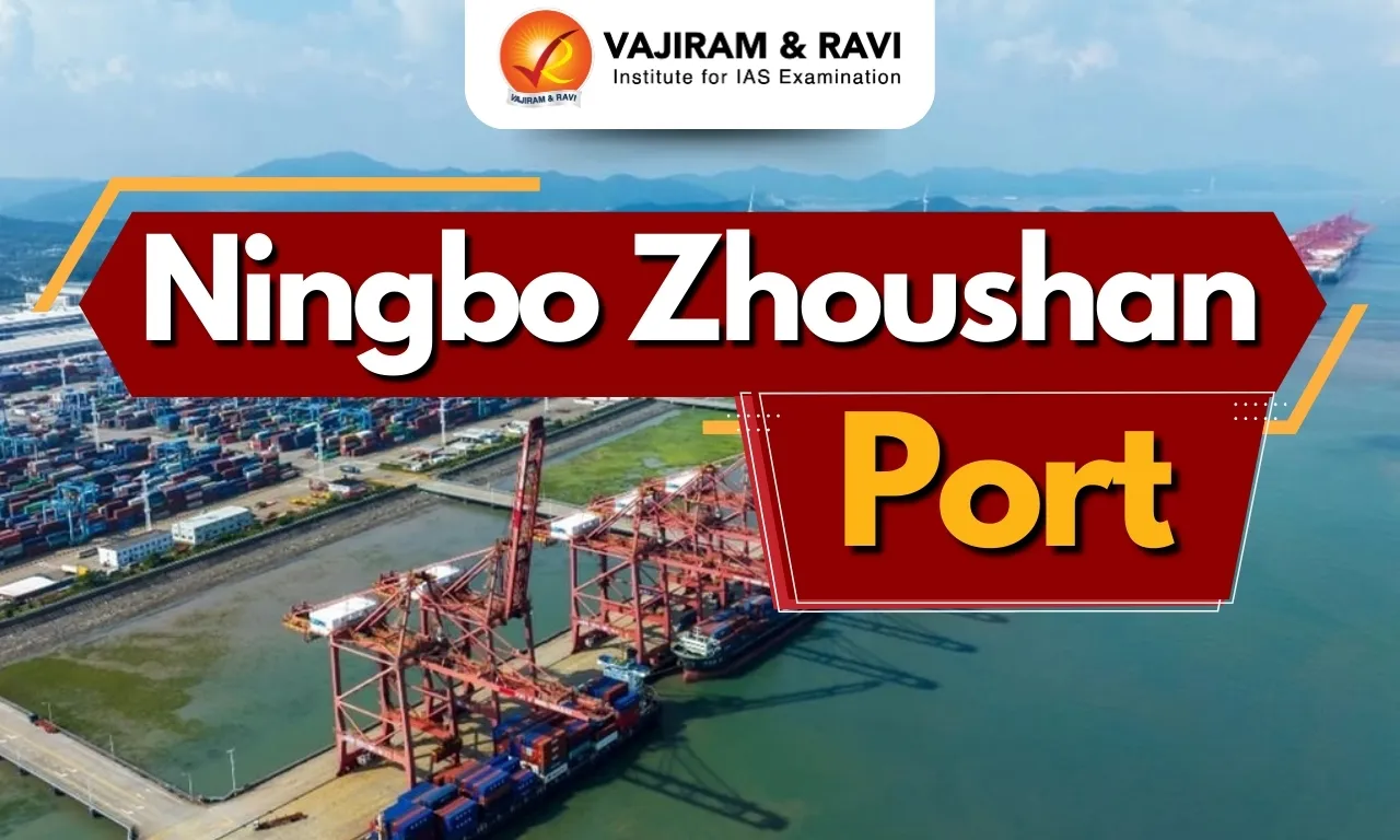
Ningbo-Zhoushan Port is one of the largest and busiest seaports in the world, located on the eastern coast of China along the East China Sea. It was formed by the merger of the Ningbo and Zhoushan ports and plays a major role in global maritime trade by handling a very large volume of cargo each year. Its strategic location and deep-water facilities make it an important hub for international shipping and trade.
Ningbo Zhoushan Port Key Features
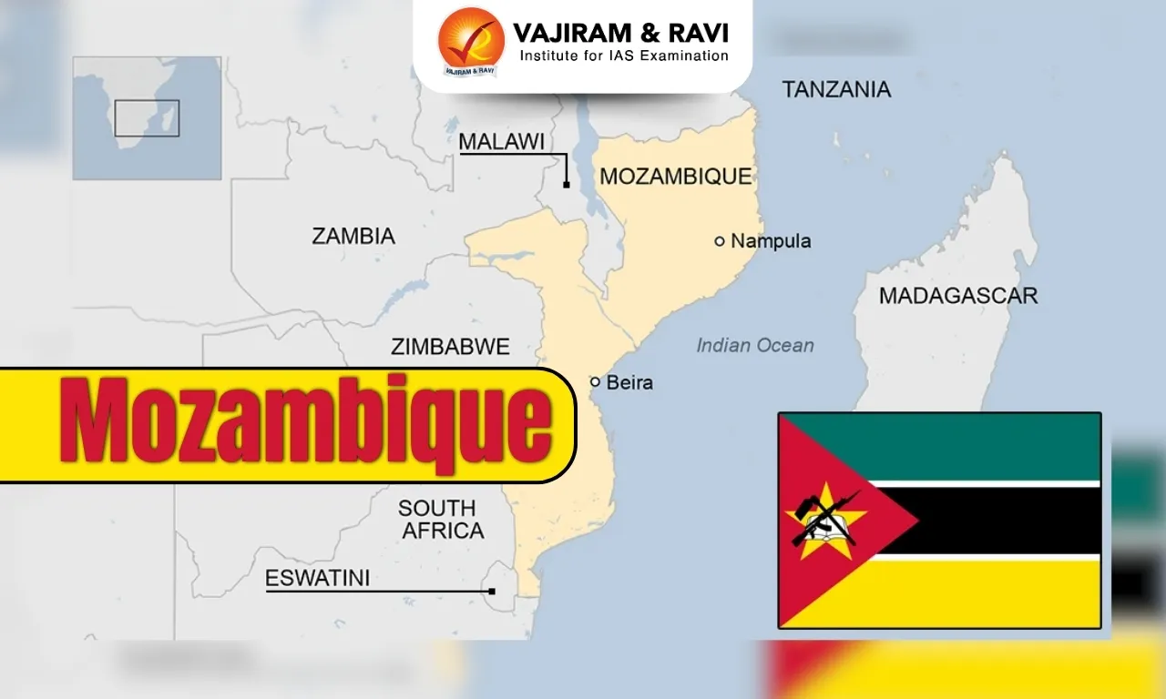
Ningbo-Zhoushan Port is located in Zhejiang Province on the eastern coast of China along the East China Sea. It is one of the largest and busiest ports in the world and has remained the world’s busiest port in terms of cargo tonnage for many years. The port was formed by merging the ports of Ningbo and Zhoushan.
- Location and Geographical Importance: The port lies near Hangzhou Bay and faces Shanghai. It is located at the intersection of major north-south coastal shipping routes and inland waterways. The port is also connected to inland China through the Yangtze River.
- Structure and Port Areas: Ningbo-Zhoushan Port consists of several important port areas, including:
- Beilun - a major deep-water seaport
- Zhenhai - an estuary port
- Old Ningbo Harbour - an inland river port
- In addition, the port includes modern development areas such as Meishan Bonded Port Area, Zhoushan Islands New Area, and Daxie Development Zone. The port has more than 200 deep-water berths, allowing very large ships to dock.
- Cargo Handling and Trade: Ningbo-Zhoushan Port handles a wide variety of cargo, including iron ore, crude oil, coal, containers, and chemical products. In recent years, the port has handled over 1.4 billion tons of cargo annually, making it the largest port in the world by cargo throughput.
- Connectivity and Technology: The port is highly modern and uses advanced technologies such as automation, 5G networks, and satellite navigation systems to improve efficiency. It has strong sea-rail intermodal connectivity, with freight train routes connecting the port to many provinces in China. The port is linked to over 700 ports in more than 200 countries and regions, making it a major hub for global trade.
Also Read: Major Ports in India
Ningbo Zhoushan Port Significance
Ningbo-Zhoushan Port is one of the most important ports in the world and a major hub of global maritime trade. Located on the eastern coast of China near Shanghai, it serves as a key gateway for the Yangtze River Delta region. The port connects inland China to international markets through the Yangtze River and handles large volumes of cargo such as iron ore, crude oil, and containers. Due to its strategic location and modern infrastructure, it plays a crucial role in China’s economic growth and global shipping networks.
Ningbo Zhoushan Port FAQs
Q1: Where is Ningbo-Zhoushan Port located?
Ans: It is located in Zhejiang Province on the eastern coast of China along the East China Sea, near Hangzhou Bay and facing Shanghai.
Q2: Why is Ningbo-Zhoushan Port important globally?
Ans: It is the world’s busiest port by cargo tonnage, handling over 1.4 billion tons of cargo annually.
Q3: How was Ningbo-Zhoushan Port formed?
Ans: The port was formed by the merger of the Ningbo Port and Zhoushan Port.
Q4: How is the port connected to inland China?
Ans: It is connected to inland regions through the Yangtze River and other inland waterways, enabling transport of goods to global markets.
Q5: What are the major port areas of Ningbo-Zhoushan Port?
Ans: Major areas include Beilun (deep-water seaport), Zhenhai (estuary port), and Old Ningbo Harbour (inland river port).