Hypercapnic Hypoxia in Mangroves

Hypercapnic Hypoxia

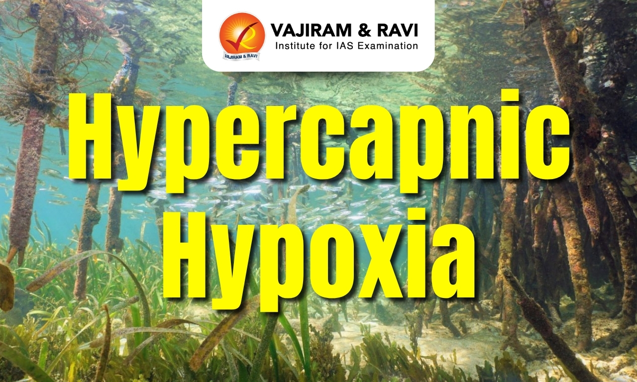
Hypercapnic Hypoxia in Mangroves Latest News

A new study revealed that most mangrove sites are already experiencing mild or severe hypercapnic hypoxia.

About Hypercapnic Hypoxia in Mangroves

  • Hypercapnic Hypoxia is a high CO₂ and low oxygen state.
  • It pushes estuaries into a stressful chemical state.
  • It mostly occurs during low tide, at low-salinity sites and in warm tropical regions.
  • Causes: Rising Co2 level due to climate change and Temperature Increase
  • Impact Hypercapnic Hypoxia on Biodiversity
    • It threatens fish nurseries in mangrove ecosystems
    • It reduces biodiversity and habitat quality for fish
    • Impacts fisheries and livelihoods of millions
    • It shifts mangrove species composition away from large reef-associated species.

What are Mangroves?

    • Mangroves are salt-tolerant trees and shrubs that grow in coastal intertidal zones, primarily in tropical and subtropical regions.
    • These unique ecosystems thrive in saline or brackish waters, withstanding harsh environmental conditions such as tidal fluctuations, high salinity, and low oxygen levels in the soil.
    • Mangrove forests act as a crucial buffer between land and sea, providing habitat for various marine and terrestrial species.

Source: DTE

Hypercapnic Hypoxia in Mangroves FAQs

Q1: What is the impact of hypercapnic hypoxia on mangrove fish nurseries?

Ans: Reduced biodiversity

Q2: What causes hypercapnic hypoxia in mangroves?

Ans: Rising CO₂ levels due to climate change

Adipose Tissue

Adipose Tissue

Adipose Tissue Latest News

Recently, scientists highlighted that adipose tissue (fat) is not only a passive storage site for excess calories but acts as metabolic and endocrine organ.

About Adipose Tissue

  • Adipose tissue, otherwise known as body fat, is a connective tissue that extends throughout the body.
  •  It's found under skin (subcutaneous fat), between internal organs (visceral fat) and even in the inner cavities of bones (bone marrow adipose tissue).

Types of Adipose Tissue

  • White adipose tissue
    • It is the most abundant type of fat in adults, and it stores energy in the form of triglycerides
    • Functions:
      • It releases hormones like leptin that reduce appetite, as well as adiponectin, which regulates insulin and blood sugar levels.
      •  It also cushions organs, insulates against heat loss and acts as a metabolic buffer, safely storing excess lipids.
      • They contribute to insulin resistance, fatty liver disease and cardiovascular risk.
  • Brown adipose tissue (Fat)
    • It is specialized to burn energy.
    • Brown adipose cells are packed with mitochondria and contain a protein called UCP1 that allows them to convert chemical energy directly into heat.
  • Beige fat cells
    • These cells arise within white fat depots under certain conditions – such as cold exposure or specific hormonal signals.
    • They acquire some of the heat-producing properties of brown fat.

Source: TH

Adipose Tissue FAQs

Q1: What is the role of brown adipose tissue?

Ans: To generate heat

Q2: What is the primary function of adipose tissue?

Ans: To store energy as fat

World Happiness Report

World Happiness Report

World Happiness Report Latest News

According to a U.N.-backed World Happiness report 2026, heavy social media use is harming young people’s well-being in many countries.

About World Happiness Report

  • It is the world’s foremost publication on global wellbeing and how to improve it.
  • Published by: It is an annual report published by the University of Oxford’s Wellbeing Research Centre in partnership with Gallup, the UN Sustainable Development Solutions Network
  • It asks people to rate their life on a 0-10 scale, from the worst possible life (0) to the best possible life (10).
  • Country rankings were based on answers given by around 100,000 people in 140 countries and territories who were asked to rate their own lives. 
  • Factors for evaluation of happiness ranking
    • GDP per capita
    • Life expectancy
    • Social support
    • Freedom to make life choices
    • Generosity
    • Perceptions of corruption

Highlights of World Happiness Report 2026

  • Top 5 Happiest Countries: Finland, Iceland, Denmark, Cosata Rica, Sweden.
  • Unhappy Countries: Afghanistan, Sierra Leone, Malawi, Zimbabwe
  • India improved its ranking from 126th in 2024 to 118th in 2025.

Source: TH

World Happiness Report FAQs

Q1: What is India's rank in the World Happiness Report 2026?

Ans: 116th

Q2: Which country topped the World Happiness Report 2026 for the 9th consecutive year?

Ans: Finland

South Shetland Island

South Shetland Island

South Shetland Island Latest News

According to the German Research Centre for Geosciences (GFZ) a magnitude 6.7 earthquake struck the South Shetland Islands of Antarctica.

About South Shetland Island

  • Location: The South Shetland Islands are a remote archipelago located about 120 kilometers (75 miles) north of the Antarctic Peninsula.
  • The South Shetland Islands are often called the jewel in Antarctica’s crown.
  • It was first discovered in 1819 by British mariner William Smith
  • Formation: The islands were formed by volcanic activity, and some of the islands are still active today.
  • The most well-known is Deception Island, which has a large, flooded caldera.
  • More than 80% of the land area is covered by permanent ice.
  • There are no permanent residents on this island.
  • Some countries maintain small teams at research stations, depending on the season.
  • Fauna
    • Birds: Gentoo, Chinstrap, Adélie and even a couple of Macaroni Penguins breed on the islands.
    • Mammals: The marine mammals consist of species such as Crabeater Seal, Leopard Seal, Weddell Seal, Fin Whale, Humpback Whale, and the Southern Right Whale.

Source: IT

South Shetland Island FAQs

Q1: What type of climate do the South Shetland Islands have?

Ans: Polar

Q2: Where are the South Shetland Islands located

Ans: North of the Antarctic Peninsula.

RELIEF Scheme

RELIEF Scheme

RELIEF Scheme Latest News

Recently, the Government of India has approved the RELIEF (Resilience & Logistics Intervention for Export Facilitation) scheme to support exporters facing severe maritime disruptions in West Asia. 

About RELIEF Scheme

  • It is aimed at supporting Indian exporters affected by extraordinary freight escalation, heightened insurance premiums and war-related export risks arising from disruptions in the Gulf and wider West Asia maritime corridor.
  • It is a time-bound and targeted intervention launched under the Export Promotion Mission (EPM).

Features of RELIEF Scheme

  • Enhanced Risk Coverage (Past Shipments): Exporters with existing ECGC cover for shipments between 14 February and 15 March 2026 receive up to 100% risk coverage for additional conflict-linked losses.
  • Support for Prospective Exports: For shipments planned between 16 March and 15 June 2026, the government supports up to 95% risk coverage to maintain exporter confidence.
  • MSME Reimbursement: Non-insured MSME exporters can claim up to 50% reimbursement (capped at ₹50 lakh per exporter) for extraordinary freight and insurance surcharges incurred during the initial disruption month.
  • Regional Scope: Applies to all consignments destined for or transshipped through the UAE, Saudi Arabia, Kuwait, Israel, Qatar, Oman, Bahrain, Iraq, Iran, and Yemen.
  • Operational Reliefs: Includes waivers of storage and dwell time charges at ports and procedural relaxations for stranded cargo coordinated by the IMG.
  • Real-time Monitoring: ECGC will maintain a dashboard-based system for tracking claims and fund utilization, with periodic reviews by the EPM Steering Committee.
  • Implementation: By ECGC Ltd

Source: PIB

RELIEF Scheme FAQs

Q1: What is the RELIEF Scheme?

Ans: A scheme to provide relief to exporters impacted by the West Asia crisis

Q2: What is the total outlay of the RELIEF Scheme?

Ans: ₹497 crore

Approved List of Models and Manufacturers (ALMM) Framework

Approved List of Models and Manufacturers (ALMM) Framework

Approved List of Models and Manufacturers (ALMM) Framework Latest News

Recently, the Ministry of New and Renewable Energy has introduced ALMM List-III for ingots and wafers, which will come into effect from the 1st of June, 2028.

About Approved List of Models and Manufacturers (ALMM) Framework

  • It is a quality-and-reliability framework that ensures solar equipment used in the country's solar projects meet the domestic manufacturing standards.
  • It was introduced under the Approved List of Models and Manufacturers (ALMM) Order, 2019.
  • Nodal Ministry: Ministry of New and Renewable Energy (MNRE), Government of India.

Features of Approved List of Models and Manufacturers (ALMM) Framework

  • Tier Structure: ALMM shall consist of LIST-I, specifying models and manufacturers of Solar PV Modules and LIST-II, specifying models and manufacturers of Solar PV Cells and List-III includes ingots and wafers.
  • Only the models and manufacturers included in ALMM are eligible for use in Government Projects under Government Schemes & Programmes, Net-Metering Projects, installed in the country, including Projects set up for sale of electricity to Government.
  • Grandfathering Provisions: Projects already in the pipeline or those with bids submitted before the cut-off date (7 days after the first list is published) are protected to avoid disruption.
  • Domestic Content Requirement (DCR): This order reinforces and does not dilute existing DCR provisions under current MNRE schemes.

Source: News On Air

Approved List of Models and Manufacturers (ALMM) framework FAQs

Q1: Which ministry introduced the ALMM framework?

Ans: Ministry of New and Renewable Energy (MNRE)

Q2: What is the primary objective of the ALMM framework?

Ans: To ensure quality and reliability of solar panels in India

Irul Tribe

Irul Tribe

Irul Tribe Latest News

Masi Magam, an auspicious day in the Tamil calendar holds significance for the Irular community which is deeply tied to their culture and collective identity.

About Irul Tribe

  • They are a Dravidian ethnic group; they reside in the Nilgiri Mountains of the Western Ghats, spread across Tamil Nadu and Kerala.
  • They are one of India’s oldest indigenous communities.
  • They are classified under the “Particularly Vulnerable Tribal Groups” category in Tamil Nadu.
  • They also call themselves Erlar or Poosari, while their neighbours refer to them as Eralollu, Irulas, Shikari and Pujari.

Society of Irul Tribe

  • Language: They speak Irula, which is related to Dravidian languages like Tamil and Kannada.
  • Religious Beliefs: The Irula people don’t have a definite god for them. They are pantheists who make provision for the presence of spirits in humans and objects.
    • Their main deity is a virgin goddess called Kanniamma, who is deeply associated with the cobra. 
  • Settlements: Irula houses are built together in small settlements or villages called mottas
    • The mottas are usually situated on the edges of steep hills and are surrounded by a few dry fields, gardens, and forests or plantations.
  • The Irula community is traditionally associated with healing, traditional medicine, and catching poisonous snakes. 
  • Economy: Cattle production is another source of income. In the forests they collect wild resources like honey, frankincense, firewood and the like. 
  • Traditional Knowledge: Irulas’ knowledge of snakes and snake venom is legendary. They can even locate snakes based on their tracks, smell, and droppings.

Source: TH

Irul Tribe FAQs

Q1: What language does the Irul Tribe speak?

Ans: Irula

Q2: What is the primary occupation of the Irul Tribe?

Ans: Snake and rat catching, and honey collection

Sathyamangalam Tiger Reserve

Sathyamangalam Tiger Reserve

Sathyamangalam Tiger Reserve Latest News

Recently, the Tamil Nadu government has informed the Madras High Court that illegal resorts operating in the eco-sensitive zone of Sathyamangalam Tiger Reserve (STR) have been locked and sealed.

About Sathyamangalam Tiger Reserve

  • Location: It is located in the state of Tamil Nadu.
  • It is nestled at the junction of the Eastern and the Western Ghats in the Nilgiri Biosphere Reserve
  • It is contiguous with the Mudumalai Tiger Reserve, Bandipur Tiger Reserve (Karnataka), and BR Tiger Reserve and Wildlife Sanctuary (Karnataka).
  • Terrain: The terrain is hilly and undulating with altitude ranging between 750 m and 1649 m.
  • Climate: It is subtropical and dry.
    • The summers are hot and dry; the monsoons are wet and cooler, with river flooding.
  • Rivers: Some of the prominent rivers in the region include the Bhavani, Moyar, and Noyyal rivers.
  • Tribal Communities: It is home to several indigenous tribal communities, including the Irula and Kurumba tribes.
  • Vegetation: It consists of southern tropical dry thorn forests, mixed deciduous forests, semi-evergreen forests, and riparian forests.
  • Flora: It includes teak, sandalwood, bamboo, Terminalia, and Albizia, alongside medicinal plants and shrubs that support both wildlife and local communities.
  • Fauna: The major species are Elephant, Tiger, Panther, Sloth bear, Gaur, Black Buck, Spotted deer, Wild boar, Black napped hare, Common langur Nilgiri langur, Striped neck mongoose, and Bonnet macaque.

Source: NIE

Sathyamangalam Tiger Reserve FAQs

Q1: Where is the Sathyamangalam Tiger Reserve located?

Ans: Tamil Nadu

Q2: What is unique about Sathyamangalam Tiger Reserve's location?

Ans: It is located at the junction of the Eastern and Western Ghats

Methane

Methane

Methane Latest News

Recent satellite data processed by Carbon Mapper shows that 15 of the world’s top 25 methane emission sites in 2025 from the oil and gas sector were in Turkmenistan.

About Methane

  • Methane is a potent greenhouse gas, responsible for about 30% of the global temperature rise since the Industrial Revolution.
  • Its atmospheric concentration is now 2.5 times higher than in the preindustrial era and is rising faster than other greenhouse gases.
  • It is the primary component of natural gas and a byproduct of fossil fuel exploration.
  • It is 86 times more efficient at trapping heat over a 20-year-period than carbon dioxide.
  • Major Sources: The three major anthropogenic sources of methane emissions are  agriculture, energy, and waste sectors.
  • Methane Characteristics
    • It is a colourless, odourless, and highly flammable gas, also known as marsh gas.
    • Although it remains in the atmosphere for a shorter period — about 12 years — than carbon dioxide,
    • It traps far more heat in the near term, making it a key driver of short-term climate change, contributing 28 times more to global warming than carbon dioxide for every tonne.

Source: DTE

Methane FAQs

Q1: Which sector is the largest contributor to anthropogenic methane emissions?

Ans: Agriculture

Q2: What is the primary component of natural gas?

Ans: Methane

Enquire Now