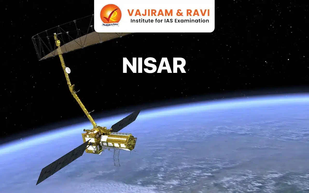
NISAR (NASA-ISRO Synthetic Aperture Radar) is a groundbreaking joint mission between NASA and ISRO. This collaborative effort aims to measure Earth’s dynamic surfaces, changing ecosystems, and ice masses. NISAR will provide crucial information about biomass, natural hazards, sea level rise, and groundwater.
By systematically mapping our planet using dual radar frequencies (L-band and S-band), NISAR can detect even tiny surface movements. It’s the first radar imaging satellite to achieve this feat. NISAR’s data will empower scientists, aid disaster management, and enhance our understanding of Earth’s crust and environmental changes.
About NISAR Mission
NISAR is a joint NASA-ISRO Earth observation satellite set to launch in early 2024. Its objectives are to study surface changes, monitor natural hazards, analyze climate patterns, and enhance our understanding of Earth’s dynamic ecosystems from space, surveying the planet’s land and ice every 12 days over its three-year mission life.
NISAR Mission Characteristics
| Category | – Earth observation satellites |
| Launch details | – Launch date: March 2024 (planned)
– Launch vehicle: GSLV Mk II – Launch site: Satish Dhawan Space Center, ISRO |
| Mission life | – 3 years |
| Repeat Cycle | – 12 days |
| Orbital details | – Sun-synchronous orbit (LEO)
– Altitude: 747 km |
| Wavelength | – L-band: 24 cm
– S-band: 9 cm |
| Radar Instruments | – L-band Synthetic Aperture Radar (L-SAR) (by NASA)
– S-band Synthetic Aperture Radar (S-SAR) (by ISRO) |
NISAR Payloads
The NISAR mission carries two primary payloads, which are the advanced radar instruments that will be used for Earth observation:


- L-band Synthetic Aperture Radar (L-SAR):
- Developed by NASA’s Jet Propulsion Laboratory (JPL)
- Operates at a wavelength of approximately 24 cm
- Designed to penetrate through vegetation and surface materials
- Provides high-resolution imagery for studying solid Earth processes, ice sheet dynamics, and biomass changes
- S-band Synthetic Aperture Radar (S-SAR):
- Developed by the ISRO
- Operates at a wavelength of approximately 10 cm
- Optimized for studying surface deformation and changes in biomass
- Provides high-resolution imagery for monitoring natural hazards, such as earthquakes, volcanic activity, and landslides
Contributions from NASA and ISRO
| Country | Work Share |
| NASA | – L-band synthetic aperture radar (SAR)
– High-rate telecommunication subsystem for scientific data – GPS receivers – Solid-state recorder – Payload data subsystem |
| ISRO | – S-band Synthetic Aperture Radar (S-SAR)
– Satellite platform –Launch vehicle (GSLV Mk II) and launch services |
Significance of NISAR Mission
NISAR is a remarkable mission that combines cutting-edge radar technology, international collaboration, and a commitment to understanding our planet’s dynamic features:
- Earth observation and monitoring: NISAR will regularly monitor Earth’s ecosystems, surface dynamics, and ice masses every 6 days for 3 years, providing critical data on biomass, natural hazards, sea level rise, and groundwater.
- Technological advancements: NISAR is the first satellite mission to utilize dual-band synthetic aperture radar (L-band and S-band), enabling high-resolution imaging and precise surface change measurements in all weather conditions.
- Revolutionizing Earth Science: NISAR’s radar imagery will enable comprehensive monitoring and analysis of land surface changes, resource management, hazard preparedness, and ongoing crises across local and regional scales.
- International collaboration: NASA and ISRO’s partnership on NISAR emphasizes international cooperation in space exploration and scientific research.
- All NISAR science data will be freely available to the public, promoting transparency and collaboration in Earth observation efforts.
Last updated on April, 2025
→ UPSC Notification 2025 was released on 22nd January 2025.
→ The UPSC Vacancy 2025 were released 1129, out of which 979 were for UPSC CSE and remaining 150 are for UPSC IFoS.
→ UPSC Admit Card 2025 is expected to release in first week of May for CSE Prelims Exam 2025.
→ The UPSC Prelims 2025 is scheduled to be conducted on 25th May 2025 and UPSC Mains 2025 will be conducted on 22nd August 2025.
→ Apply once through it and aspirants can apply for various government exams conducted by UPSC.
→ The UPSC Selection Process is of 3 stages-Prelims, Mains and Interview.
→ UPSC Result 2024 is released with latest UPSC Marksheet 2024. Check Now!
→ UPSC Toppers List 2024 is released now. Shakti Dubey is UPSC AIR 1 2024 Topper.
→ Also check Best IAS Coaching in Delhi
NISAR Mission FAQs
Q1. What is the full form of NISAR?+
Q2. What is the purpose of NISAR?+
Q3. What is Synthetic Aperture Radar?+
Tags: nisar mission quest