National Geospatial Mission Latest News
Recently, the Finance Minister announced the launch of a National Geospatial Mission in the Budget 2025-26.
About National Geospatial Mission
- It will be aimed at modernising land records and enhancing urban planning across India.
- This initiative will leverage the existing PM Gati Shakti framework to develop foundational geospatial infrastructure and data, facilitating improved design and execution of infrastructure projects.
- The initiative also aims to address challenges related to land disputes and inefficient land use, which have long hindered growth in various regions.
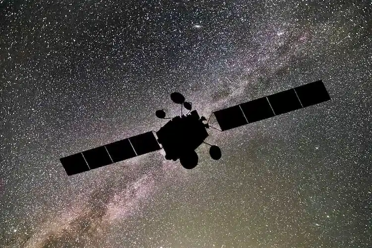
- o Geospatial refers to data or information that is associated with a specific location on the Earth’s surface.
- By creating a robust geospatial database, the government aims to streamline processes involved in land reforms, making them more efficient and transparent.
- This move is anticipated to benefit not only government agencies but also private stakeholders, including geospatial and drone companies, which will likely see increased demand for their services.
- Significance: The National Geospatial Mission is expected to significantly impact various sectors, particularly in urban development and land management.
- The focus on geospatial technology is seen as a critical component in achieving the government’s broader goals of improving efficiency and accountability in public services.


National Geospatial Mission FAQs
Q1: What is Geographic Information Systems (GIS)in geography?
Ans: It is a system designed to collect, organize, visualize, and interpret geographic data for specific Earth locations.
Q2: What is meant by geospatial data?
Ans: Geospatial data, or geodata, is data that includes information related to locations on the Earth’s surface.
Q3: What is the difference between GPS and GIS?
Ans: Global Positioning Systems or GPS are used to find the exact location of things. Geographic Information Systems or GIS are used to record information on to maps.
Source: IT
![]() Last updated on March, 2026
Last updated on March, 2026
→ UPSC Final Result 2025 is now out.
→ UPSC has released UPSC Toppers List 2025 with the Civil Services final result on its official website.
→ Anuj Agnihotri secured AIR 1 in the UPSC Civil Services Examination 2025.
→ UPSC Marksheet 2025 is now out.
→ UPSC Notification 2026 & UPSC IFoS Notification 2026 is now out on the official website at upsconline.nic.in.
→ UPSC Calendar 2026 has been released.
→ Check out the latest UPSC Syllabus 2026 here.
→ UPSC Prelims 2026 will be conducted on 24th May, 2026 & UPSC Mains 2026 will be conducted on 21st August 2026.
→ The UPSC Selection Process is of 3 stages-Prelims, Mains and Interview.
→ Prepare effectively with Vajiram & Ravi’s UPSC Prelims Test Series 2026 featuring full-length mock tests, detailed solutions, and performance analysis.
→ Enroll in Vajiram & Ravi’s UPSC Mains Test Series 2026 for structured answer writing practice, expert evaluation, and exam-oriented feedback.
→ Join Vajiram & Ravi’s Best UPSC Mentorship Program for personalized guidance, strategy planning, and one-to-one support from experienced mentors.
→ Shakti Dubey secures AIR 1 in UPSC CSE Exam 2024.
→ Also check Best UPSC Coaching in India