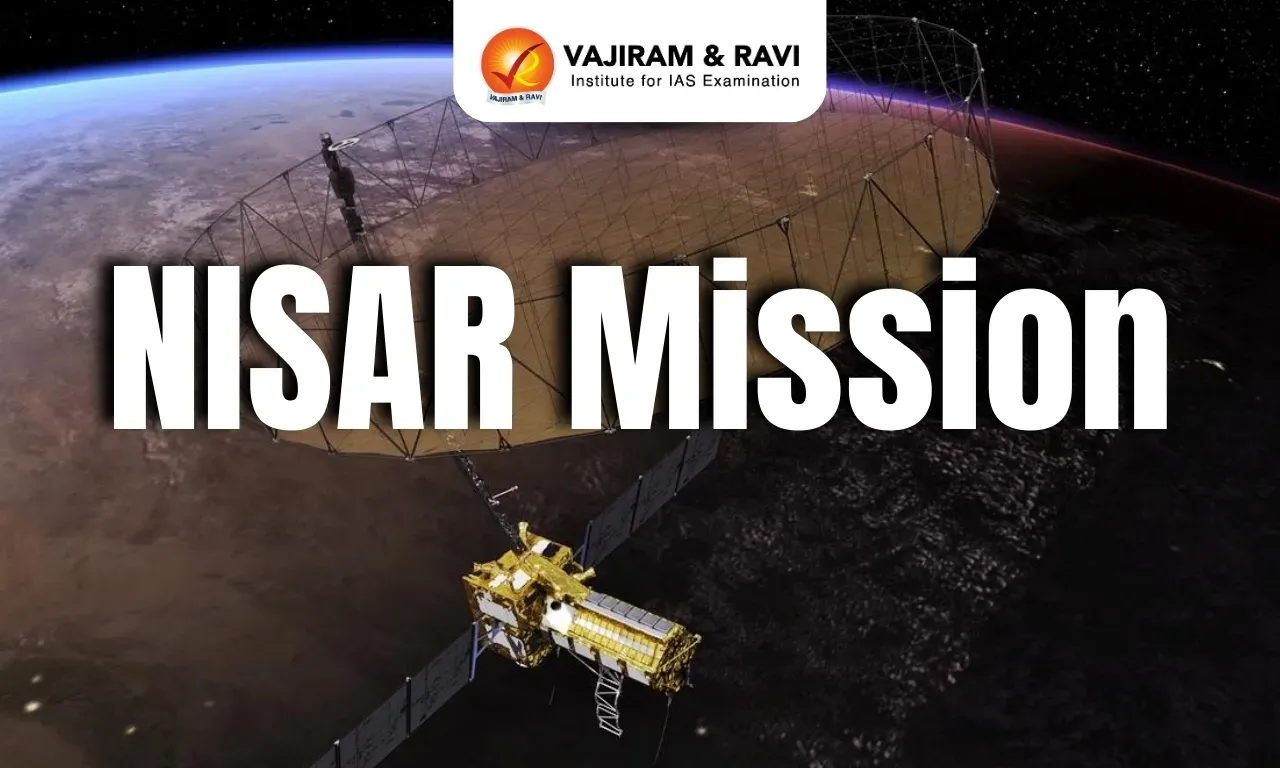
NISAR Mission
19-04-2025
08:00 AM

NISAR Mission Latest News
The NISAR Mission is expected to be launched in June 2025 onboard a GSLV (Geosynchronous Satellite Launch Vehicle).

About the NISAR Mission
- NISAR (NASA-ISRO Synthetic Aperture Radar) is a joint Earth observation satellite mission developed by NASA and ISRO under a bilateral agreement signed in 2014.
- The satellite is scheduled for launch in June 2025 from the Satish Dhawan Space Centre, Andhra Pradesh, aboard ISRO’s Geosynchronous Satellite Launch Vehicle Mark II (GSLV Mk II).
- It marks the first-ever collaboration of its kind between India and the United States in radar-based Earth monitoring from space.
- NISAR aims to map the entire Earth’s surface every 12 days, enabling high-frequency, precise, and repeat observations.
- It will monitor ecosystem changes, ice sheet dynamics, vegetation patterns, sea level rise, and groundwater variation, and will track natural hazards like earthquakes, volcanoes, tsunamis, and landslides.
Key Features and Components
Feature | Details |
Thermal blanketing | Uses gold-coloured thermal blankets to maintain the satellite’s optimal temperature. |
Radar payload | Core instrument for capturing Earth surface movement and geophysical changes. |
Spacecraft bus | Supports power generation, communication, navigation, and attitude control. |
Antenna and Reflector | Equipped with a 12-metre drum-shaped wire mesh reflector, the largest in space, to enhance signal focus and surface imaging precision. |
Technological Advancements
- Dual Radar System: NISAR is the first satellite to use two radar frequencies simultaneously — L-band (NASA) and S-band (ISRO).
- L-band Radar: Penetrates dense forests and soil, useful for volcanic and seismic zone monitoring.
- S-band Radar: Offers higher resolution surface imaging, operating at 2–4 GHz frequency and 8–15 cm wavelength, ideal for urban and terrain analysis.
Related Upcoming ISRO Missions
- EOS-09 Mission: An Earth Observation Satellite capable of capturing high-resolution images during day and night, planned for May 2025.
- Gaganyaan TV-D2 Mission: A Crew Escape System test for India’s first human spaceflight programme, simulating emergency scenarios.
- Axiom-4 Mission: Indian astronaut Shubhanshu Shukla to travel to the International Space Station, becoming only the second Indian in space after Rakesh Sharma (1984).
NISAR Mission FAQs
Q1. What is the NISAR Mission?
Ans. NISAR (NASA-ISRO Synthetic Aperture Radar) is a joint Earth observation satellite project between NASA and ISRO designed to monitor changes in Earth’s surface, including ecosystems, glaciers, groundwater, and natural hazards.
Q2. What is the primary objective of the NISAR mission?
Ans. The mission aims to provide high-resolution, all-weather, day-and-night imaging to study earthquakes, volcanoes, landslides, floods, and soil moisture dynamics.
Q3. What kind of radars does NISAR use?
Ans. NISAR uses dual-band Synthetic Aperture Radars — L-band radar (provided by NASA) and S-band radar (developed by ISRO).
Source: IE
