Mount Cilo Latest News
According to our researchers, the glaciers of Mount Cilo have had almost 50% of their ice cover in 40 years.
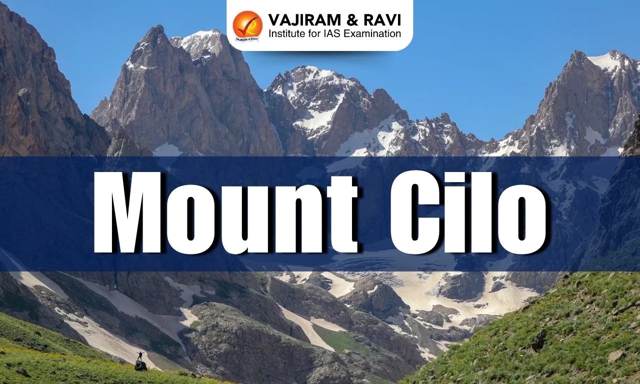
About Mount Cilo
- Location: It is located southeast of Lake Van and the southeast end of the Taurus mountain range in the Anatolia region of Turkey.
- The glaciers of Mount Cilo, which rises to 4,135 meters in the province of Hakkari on the Iraqi border, are the second largest in the country behind those of Mount Ararat (5,137 meters )
- It is the peak of the easternmost extension of the Taurus mountain range.
- It is situated in the Alpine-Himalayan Fold System and emerged as a result of the movement of the Arabian, Anatolian and Eurasian plates.
- Physical features of Mount Cilo
- It has five important high peaks. These; Uludoruk Peak, Suppa Durek Peak, Kosedireği Mountain, Kisara Mountain and Maunseli Sivrisi.
- The present shape of Cilo Mountain has been formed by tectonic movements and erosions.
- It has rugged topography with ridges, steep limestone cliffs, deep gorges, and glacial valleys.
- Impact of Climate Change: Turkey, which is experiencing heatwaves and drought, even registered a record temperature of 50.5C recently and has been affecting glaciers.
Source: TOI
Mount Cilo FAQs
Q1: What is the second highest peak in Turkey?
Ans: Mount Cilo
Q2: What is a glacier?
Ans: A glacier is a large, perennial accumulation of crystalline ice, snow, rock, sediment, and often liquid water that originates on land and moves down slope under the influence of its own weight and gravity.