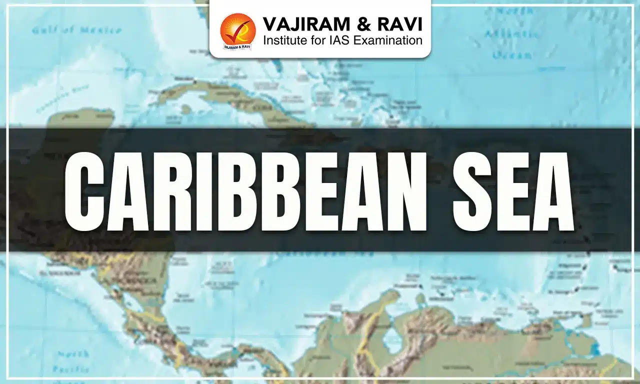
The Caribbean Sea is a large tropical sea in the western Atlantic Ocean, southeast of the Gulf of Mexico, surrounded by the coasts of Central and South America and the islands of the Greater and Lesser Antilles. In this article, we are going to cover the Caribbean Sea, its boundaries and islands, climate and significance.
Caribbean Sea
The Caribbean Sea is one of the largest tropical seas in the world, situated in the western Atlantic Ocean, spreading between latitudes 9° and 22° N and longitudes 89° and 60° W. It covers an area of nearly 2,753,000 square kilometers, making it a vital part of the Earth’s marine geography.
- Southern boundary: Venezuela, Colombia, and Panama.
- Western boundary: Costa Rica, Nicaragua, Honduras, Guatemala, Belize, and Mexico’s Yucatán Peninsula.
- Northern boundary: The Greater Antilles, which include Cuba, Hispaniola (Haiti and the Dominican Republic), Jamaica, and Puerto Rico.
- Eastern boundary: The Lesser Antilles, a chain of smaller islands stretching from the Virgin Islands down to Trinidad and Tobago.
Among these, Jamaica, situated south of Cuba, is the largest island in the Caribbean.
The Caribbean Sea, along with the Gulf of Mexico, is sometimes also called the American Mediterranean, since both are enclosed between major landmasses. However, they differ greatly in their climate, currents, and water characteristics. The Cayman Trench, the deepest part of the Caribbean, plunges to about 7,686 meters below sea level, making it a significant geological feature.
Caribbean Sea on World Map
Positioned southeast of the Gulf of Mexico and forming part of the Atlantic Ocean, the Caribbean Sea holds a crucial spot in the Western Hemisphere.
Caribbean Sea Islands and Boundaries
The Caribbean region is encircled by a diverse set of countries and islands. These islands and boundaries include:
- South: Venezuela, Colombia, and Panama.
- West: Central American nations like Costa Rica, Nicaragua, Honduras, Guatemala, and Belize.
- North: The Greater Antilles (Cuba, Jamaica, Hispaniola, and Puerto Rico).
- East: The Lesser Antilles, including territories like Anguilla, a British overseas territory.
Caribbean Sea Importance
The Caribbean Sea is important because of its geography, economy, biodiversity, and culture:
- Strategic Location: Acts as a vital maritime route connecting the Atlantic Ocean with the Gulf of Mexico, enabling international trade and naval movements.
- Tourism Hub: Known worldwide for its tropical climate, turquoise waters, coral reefs, and white sandy beaches, attracting millions of tourists annually.
- Natural Resources: Rich in petroleum, natural gas, and minerals, supporting the economies of several Caribbean nations.
- Biodiversity Hotspot: Home to unique marine ecosystems, coral reefs, and rare plant and animal species, contributing to global ecological balance.
- Cultural Heritage: A vibrant blend of African, indigenous, and European influences, giving rise to unique music, art, festivals, and cuisines.
Caribbean Sea Climatalogy
The Caribbean experiences a predominantly tropical climate, but variations occur due to mountains, ocean currents, and trade winds.
- Rainfall Distribution: Highly uneven: Bonaire receives as little as 25 cm annually, whereas Dominica can get up to 900 cm.
- Trade Winds: The northeast trade winds are a defining feature, blowing at 16–32 km/h, influencing weather patterns.
- Hurricanes: The region is highly prone to tropical cyclones (hurricanes), especially from June to November, with peak activity in August–September.
- Ocean Currents: The North Equatorial Current plays a dominant role in regulating temperatures and climate.
- Climate Zones:
- Tropical Rainforest: Found in lowland regions like Costa Rica, Belize, Puerto Rico, and the Dominican Republic.
- Tropical Savanna/Dry Climate: Seen in Cuba and northern Venezuela, with occasional droughts.
Caribbean Sea FAQs
Q1: Which country is the Caribbean Sea located in?
Ans: The Caribbean Sea is not in one country but is bordered by multiple countries in Central America, South America, and the Caribbean islands.
Q2: Why is it called the Caribbean Sea?
Ans: It is named after the Carib people, one of the indigenous groups of the region.
Q3: Why is the Caribbean Sea famous?
Ans: The Caribbean Sea is famous for its turquoise waters, tropical islands, rich biodiversity, and tourism.
Q4: Which countries border the Caribbean Sea?
Ans: The Caribbean Sea is bordered by countries like Mexico, Belize, Guatemala, Honduras, Nicaragua, Costa Rica, Panama, Colombia, Venezuela, and island nations such as Cuba, Jamaica, Haiti, Dominican Republic, and Puerto Rico.