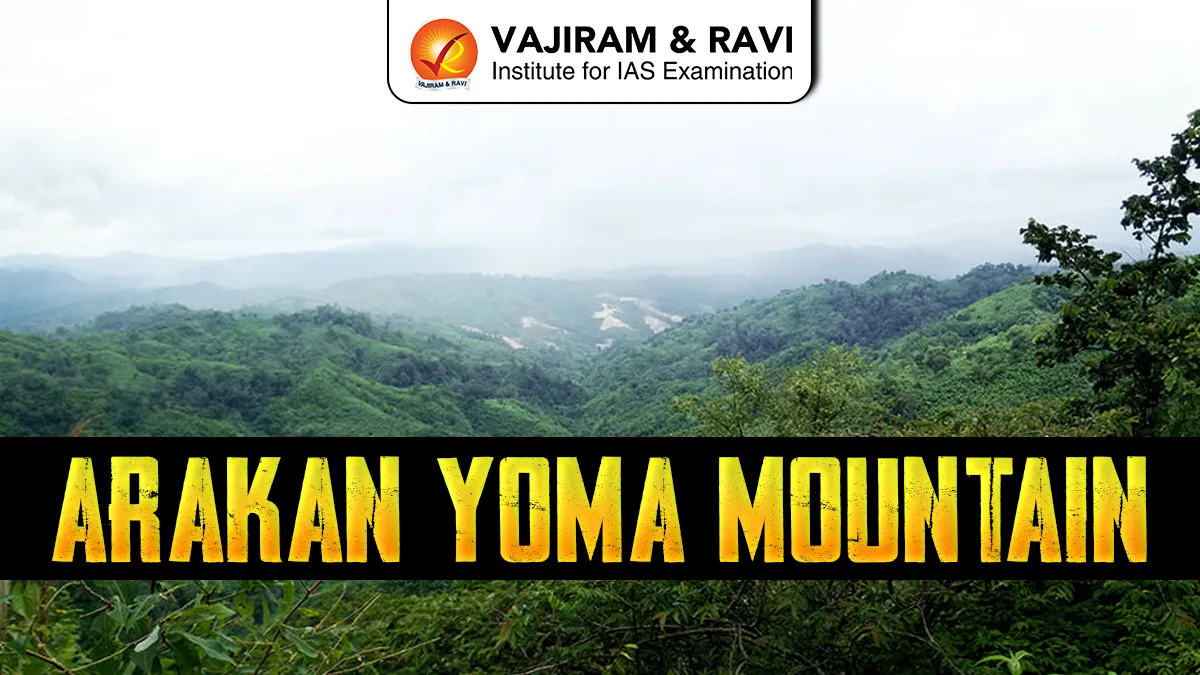
Arakan Yoma Mountain, also known as the Rakhine Yoma, is a mountain range in Western Myanmar. It is a southern extension of the Eastern Himalayas. It stretches from the hills of Manipur in India down to Cape Negrais on the coast of Myanmar, forming a natural barrier between Myanmar and the Indian subcontinent.
Arakan Yoma Mountains Key Features
- Geologically, Arakan Yoma is a young fold mountain system formed due to tectonic interaction between the Indian Plate and the Eurasian Plate.
- Because of the continuous tectonic interaction, it is a seismically active region.
- The highest point of Arakan Yoma Mountain is Nat Ma Taung (Mount Victoria) with an elevation of about 3,000 metres.
- It forms a natural boundary between Coastal Rakhine (Arakan) region and Central Myanmar plains.
Arakan Yoma Mountain Ecology
- The Arakan Yoma Mountain range is an ecologically significant region of Southeast Asia and forms an important part of the Indo-Myanmar biodiversity hotspot, one of the world’s richest ecological zones.
- The range is covered predominantly by tropical evergreen and semi-evergreen forests in areas receiving high rainfall, especially along the western slopes. In drier eastern parts, moist and dry deciduous forests are more common.
- Flora: The Arakan Yoma supports high floral diversity, including valuable timber species such as teak, bamboo, and medicinal plants.
- Fauna: The forests provide habitat to elephants, leopards, clouded leopards, barking deer, hoolock gibbons, and numerous bird species. The region also acts as an important wildlife corridor between South Asia and Southeast Asia.


Arakan Yoma Mountain Climatic Significance
The Arakan Yoma Mountain range plays a crucial role in shaping the climate of Myanmar and the adjoining Bay of Bengal region.
- It acts as a natural barrier to the southwest monsoon winds originating from the Bay of Bengal. When these moisture-laden winds strike the western slopes of the Arakan Yoma, they are forced to rise, leading to orographic rainfall along the coastal Rakhine region. As a result, the western coastal belt of Myanmar receives very heavy rainfall, making it one of the wettest parts of the country during the monsoon season.
- It creates a rain-shadow effect on its eastern side. The central Irrawaddy basin, lying leeward of the Arakan Yoma, receives comparatively low and irregular rainfall, leading to drier climatic conditions.

 Last updated on Oct, 2026
→ UPSC 2027 Notification will be released on 13 January 2027 at upsconline.nic.in.
→ Check Nobel Prize 2026 Winners List here.
→ Download PIB PRiSM Monthly Magazine 2026 here.
→ Check UPSC Monthly Current Affairs Magazine The Recitals here.
→ Check out the latest UPSC Syllabus here.
→ Download UPSC Model Answers for Mains 2026
→ UPSC Mains Question Paper 2026 is out now for Essay & GS Paper 1, 2, 3 & 4.
→ UPSC Calendar 2027 has been released.
→ Enroll in Vajiram & Ravi’s UPSC Mains Test Series 2027 for structured answer writing practice, expert evaluation, and exam-oriented feedback.
→ Join Vajiram & Ravi’s UPSC Mentorship Program 2027 for personalized guidance, strategy planning, and one-to-one support from experienced mentors.
→ Go through the UPSC Mains Previous Year Papers to enhance your preparation.
→ UPSC has released UPSC Toppers List 2025 with the Civil Services final result on its official website.
→ Also check Best UPSC Coaching in India
Arakan Yoma Mountain FAQs
Q1. Where are the Arakan Yoma Mountains located?+
Q2. Why are the Arakan Yoma Mountains geologically important?+
Q3. What is the highest peak of the Arakan Yoma range?+
Q4. How do the Arakan Yoma Mountains affect the climate of Myanmar?+
Q5. Why are the Arakan Yoma Mountains ecologically significant?+
Tags: arakan yoma mountain