A Derecho is a large scale, long lasting straight line windstorm linked with fast moving thunderstorm systems known as mesoscale convective systems (MCS). The term comes from Spanish meaning “straight,” highlighting non rotating winds unlike tornadoes. These storms produce hurricane force winds, heavy rainfall and flash floods, often travelling hundreds of kilometres while maintaining strength for several hours or even days across vast regions.
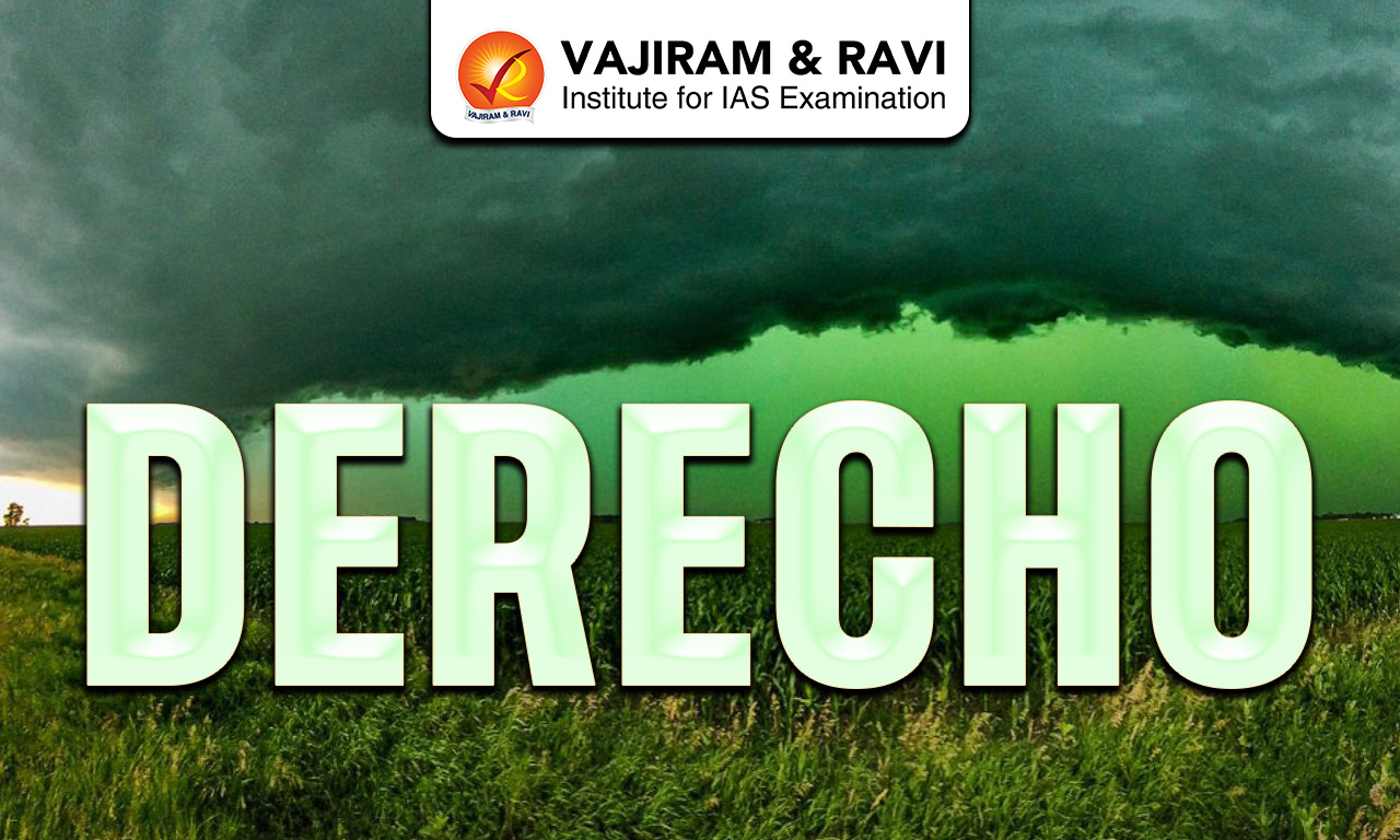
Why Does the Sky Become Green in Derecho?
Severe thunderstorms during Derechos create a green sky due to light scattering through dense moisture, hailstorm and cloud layers.
- Light Scattering Mechanism: Large raindrops and hailstones scatter most wavelengths of sunlight, allowing mainly blue light to pass through dense storm clouds toward the lower atmosphere region.
- Combination of Colors: The transmitted blue light mixes with red and yellow sunlight during late afternoon or evening, resulting in a visible green tint in the sky.
- Role of Moisture Content: High water content in thunderstorm clouds enhances scattering intensity, making the green coloration more prominent and often indicating severe weather conditions like hailstorms.
- Indicator of Storm Intensity: Green skies are often associated with strong convection and deep cloud structures, suggesting intense thunderstorms capable of producing damaging winds and heavy precipitation.
Derecho Storm Formation
Derechos develop through organized thunderstorm systems under specific atmospheric conditions involving instability, moisture and wind patterns.
- Derechos originate from large thunderstorm clusters called MCS, which form along frontal boundaries and strengthen through continuous energy supply from warm moist air inflow.
- Moderate to strong vertical wind shear, often around 20 m/s within lower atmosphere layers, helps organize storms into long linear systems capable of sustaining strong winds.
- Strong descending air currents create high pressure zones behind storms, forming bow shaped radar signatures known as bow echoes, which are responsible for intense surface winds.
- Warm, moist air near the surface combined with cooler air aloft increases convective available potential energy, enabling powerful updrafts and sustained storm development over long durations.
- Derechos move rapidly along with storm systems, often parallel to low level atmospheric flow and can remain active for several hours or even multiple days due to self sustaining processes.
Also Check- Difference Between Typhoon, Cyclone and Hurricane


Derecho Features
Derechos are complex severe weather systems characterized by strong winds, long paths, seasonal occurrence and significant socio-economic impacts across different regions.
- Occurrence: Derechos mainly occur in warm months like June, July and August in the Northern Hemisphere, though they can develop anytime with suitable atmospheric instability and moisture conditions.
- Wind Characteristics: These storms produce sustained winds exceeding 25 m/s (50 knots) and can reach up to 60 m/s in extreme cases, often stronger than many tornado events over large areas.
- Types of Derecho: Major types include progressive, serial, hybrid, multi-bow and low dewpoint Derechos, each differing in structure, size, seasonal occurrence and associated atmospheric conditions.
- Geographic Distribution: Derechos commonly occur in central and eastern United States but are also recorded in Germany, Russia, Bangladesh, Argentina, South Africa and parts of India as Nor’westers.
- Structural Features: These storms often appear as squall lines with bow or spearhead echoes, formed due to strong downdrafts and pressure gradients behind the storm system.
- Associated Hazards: Derechos cause heavy rainfall, flash floods, widespread tree fall, infrastructure damage and power outages affecting millions of people across large regions simultaneously.
- Major Historical Events: The August 2020 Midwest Derecho produced wind speeds up to 56 m/s and caused over $7.5 billion damage, impacting agriculture, infrastructure and power supply extensively.
Also Check: Temperate Cyclone
![]() Last updated on June, 2026
Last updated on June, 2026
→ UPSC Prelims Provisional Answer Key 2026 out for GS Paper 1 and CSAT.
→ UPSC Prelims Question Paper 2026 Out, Download GS Paper 1 PDF conducted on 24th May 2026.
→ UPSC Mains 2026 will be conducted from 21st August 2026 onwards, and UPSC Prelims 2027 will be held on 23rd May 2027.
→ Prepare effectively with Vajiram & Ravi’s UPSC Prelims Test Series 2027 featuring full-length mock tests, detailed solutions, and performance analysis.
→ UPSC Final Result 2025 is now out.
→ UPSC has released UPSC Toppers List 2025 with the Civil Services final result on its official website.
→ Anuj Agnihotri secured AIR 1 in the UPSC Civil Services Examination 2025.
→ UPSC Notification 2026 & UPSC IFoS Notification 2026 is now out on the official website at upsconline.nic.in.
→ UPSC Calendar 2027 has been released.
→ Check out the latest UPSC Syllabus 2026 here.
→ The UPSC Selection Process is of 3 stages-Prelims, Mains and Interview.
→ Enroll in Vajiram & Ravi’s UPSC Mains Test Series 2026 for structured answer writing practice, expert evaluation, and exam-oriented feedback.
→ Join Vajiram & Ravi’s Best UPSC Mentorship Program for personalized guidance, strategy planning, and one-to-one support from experienced mentors.
→ Shakti Dubey secures AIR 1 in UPSC CSE Exam 2024.
→ Also check Best UPSC Coaching in India
Derecho FAQs
Q1. What is a Derecho?+
Q2. How is a Derecho different from a tornado?+
Q3. When do Derechos usually occur?+
Q4. Why does the sky turn green during a Derecho?+
Q5. What damage can Derechos cause?+
Tags: derecho geography geography notes