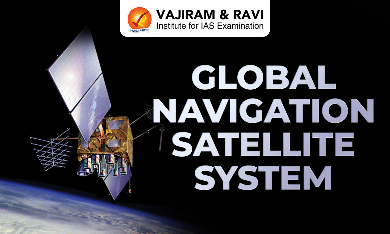
A Global Navigation Satellite System (GNSS) is a space geodesy technique that provides autonomous geospatial positioning with global coverage by using constellations of Earth orbiting satellites, ground control networks and receivers. It enables positioning, navigation and timing (PNT) across multiple sectors. GNSS receivers determine precise locations through trilateration using signals transmitted by satellites.
Global Navigation Satellite System Types
Global Navigation Satellite System (GNSS) comprises multiple global and regional satellite systems developed by different countries, each with unique orbital structures, satellite constellations and operational features for positioning services.
- GPS (Global Positioning System): The United States’ GPS constellation includes 24 satellites orbiting at 20,200 km with 12 hour periods. Six satellites remain visible almost continuously from any Earth location, ensuring global positioning capability.
- GLONASS (Russian Federation): GLONASS consists of 24 operational satellites orbiting at 19,140 km in circular paths. At least four satellites are visible nearly all the time, offering reliable navigation similar to GPS.
- Galileo (European System): Europe’s Galileo system has been operational since December 2016, with a planned constellation of 30 satellites (27 operational and 3 spares) positioned at 23,222 km in three orbital planes.
- BeiDou/Compass (China): China’s BeiDou system includes 35 satellites, comprising 5 GEO, 3 IGSO and 27 MEO satellites. It provides global coverage with a complex constellation design and enhanced positioning capabilities.
- IRNSS/NavIC (India): India’s IRNSS, also known as NavIC, is a regional navigation system with geosynchronous satellites at an apogee of 20,650 km, providing accurate real time positioning services in India and surrounding regions.
- QZSS (Japan): Japan’s Quasi Zenith Satellite System is a four satellite regional system designed to enhance GPS accuracy in Asia Oceania, especially in urban and mountainous regions.
Global Navigation Satellite System Features
Global Navigation Satellite System systems are characterized by satellite constellations, signal transmission mechanisms, ground infrastructure and receiver technologies that enable accurate positioning, navigation and timing services globally.
- Satellite Constellations: GNSS includes constellations of satellites orbiting Earth that continuously broadcast their spatial and temporal coordinates, enabling receivers to determine precise geographic positions anywhere on the planet.
- Technique: GNSS receivers calculate positions by measuring distances from multiple satellites using trilateration, ensuring high accuracy depending on signal quality, receiver capability and data processing methods.
- Multi System Interoperability: Interoperability among systems like GPS, GLONASS, Galileo and BeiDou allows a single receiver to access signals from multiple constellations, improving positioning accuracy, especially in urban and mountainous areas.
- Ground Control Networks: GNSS depends on global networks of control stations and data centers such as CDDIS, which archive and process satellite data to maintain system accuracy and reliability.
- Signal Transmission: Satellites transmit ranging codes on two radio frequency carriers, enabling receivers to decode signals and compute positions with varying degrees of precision based on processing techniques.
- Data Infrastructure: The International GNSS Service (IGS) provides global data through hundreds of stations, including nearly 475 daily, 300 hourly and 160 high rate sites, supporting scientific and geophysical research.


Global Navigation Satellite System Significance
Global Navigation Satellite System (GNSS) plays a critical role in modern infrastructure, governance and technological systems by enabling accurate positioning, navigation and timing across diverse sectors and applications worldwide.
- Transportation Systems: GNSS is widely used in aviation, maritime, rail, road and space navigation, ensuring safe and efficient movement by providing real time positioning and route guidance.
- Communication and Power Networks: GNSS timing signals are essential for synchronizing telecommunications, managing power grids and controlling computer networks, ensuring stability and operational efficiency.
- Scientific Research: High accuracy GNSS data helps study tectonic plate movements, earthquake displacements and Earth orientation, contributing significantly to geophysical and environmental research.
- Economic and Governance Applications: GNSS supports sectors such as finance, mining, agriculture, surveying and law enforcement by enabling precise measurements, monitoring and decision making processes.
- GNSS Based ETC System: In India, GNSS is being integrated into toll collection through NHAI’s GNSS based ETC system, enabling distance based tolling and barrier free movement alongside the existing FASTag system.
- Efficient Toll Collection: GNSS based ETC uses onboard units and centralized toll chargers to calculate tolls based on distance travelled, reducing congestion, improving compliance and modernizing toll infrastructure in line with global practices.
![]() Last updated on June, 2026
Last updated on June, 2026
→ UPSC Prelims Result 2026 is expected to be released between 7th June and 14th June 2026.
→ UPSC Prelims Provisional Answer Key 2026 out for GS Paper 1 and CSAT.
→ UPSC Prelims Question Paper 2026 Out, Download GS Paper 1 PDF conducted on 24th May 2026.
→ UPSC Mains 2026 will be conducted from 21st August 2026 onwards, and UPSC Prelims 2027 will be held on 23rd May 2027.
→ UPSC Final Result 2025 is now out.
→ UPSC has released UPSC Toppers List 2025 with the Civil Services final result on its official website.
→ Anuj Agnihotri secured AIR 1 in the UPSC Civil Services Examination 2025.
→ UPSC Notification 2026 & UPSC IFoS Notification 2026 is now out on the official website at upsconline.nic.in.
→ UPSC Calendar 2027 has been released.
→ Check out the latest UPSC Syllabus 2026 here.
→ The UPSC Selection Process is of 3 stages-Prelims, Mains and Interview.
→ Enroll in Vajiram & Ravi’s UPSC Mains Test Series 2026 for structured answer writing practice, expert evaluation, and exam-oriented feedback.
→ Join Vajiram & Ravi’s Stepup Mentorship Program 2027 for personalized guidance, strategy planning, and one-to-one support from experienced mentors.
→ Shakti Dubey secures AIR 1 in UPSC CSE Exam 2024.
→ Also check Best UPSC Coaching in India
Global Navigation Satellite System FAQs
Q1. What is a Global Navigation Satellite System (GNSS)?+
Q2. Which are the major Global Navigation Satellite System (GNSS) systems in the world?+
Q3. How does the Global Navigation Satellite System determine location?+
Q4. What is tthe Global Navigation Satellite System based Electronic Toll Collection (ETC)?+
Q5. What is the role of satellites in the Global Navigation Satellite System?+
Tags: geomatics engineering global navigation satellite system