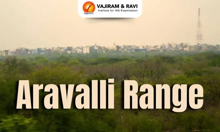
Why Aravalli Range in News?
In November 2025, the Supreme Court of India defined Aravalli Hills as elevations 100 meters or higher above the local ground, raising concerns that this could weaken legal protections
About Aravalli Range
The Aravalli Range, also called the Aravali Hills, is among the oldest surviving mountain systems on Earth and forms a major physiographic division of north-western India. Although heavily eroded over geological time, the range continues to exert a strong influence on climate, drainage, mineral resources, ecology, and human settlement patterns across Rajasthan, Haryana, Gujarat, and adjoining regions.


Supreme Court Definition and Guidelines for Aravalli Range
- Aravalli Hills Definition: Any landform rising 100 metres or more above the surrounding local terrain. Local relief is measured using the lowest contour line encircling the hill. Protection applies to the entire hill system, including supporting slopes and associated landforms, regardless of height.
- Aravalli Ranges Definition: Clusters of two or more such hills located within 500 metres of each other. The entire intervening area, including slopes and smaller hillocks, is considered part of the range.
- SC Directions on Mining:
-
- Temporary ban on issuing new mining leases in areas falling under the Aravalli definition.
- Existing legal mining allowed but under strict regulation.
- The ban remains until a Management Plan for Sustainable Mining (MPSM) is prepared by the Indian Council of Forestry Research and Education (ICFRE).
- Requirements for the Management Plan (MPSM):
-
- Identify no-mining zones and strictly regulated mining areas.
- Map sensitive habitats and wildlife corridors.
- Assess cumulative ecological impacts and carrying capacity.
- Prescribe restoration and rehabilitation measures for mined areas.
- SC Observations:
-
- Recognized that blanket bans can fuel illegal mining.
- Adopted a calibrated approach combining temporary pause on new mining, regulated continuation of existing legal mining, and permanent protection of ecologically sensitive areas.
Location and Extent of the Aravalli Range
- The Aravalli Range is located in north-western India, forming one of the most prominent physiographic features of the region.
- The range extends in a south-west to north-east orientation, which is distinct from most other Indian mountain ranges.
- Its northernmost extension begins near Delhi, where the hills appear as discontinuous ridges.
- From Delhi, the range passes through southern Haryana, influencing the drainage and ecological conditions of the region.
- It then traverses through central and southern Rajasthan, where it is most extensive and prominent in height and width.
- The Aravalli Range finally terminates near Ahmedabad in Gujarat, gradually merging with the surrounding plains.
Drainage System of the Aravalli Range
- The Aravalli Range is a major watershed, with rivers from western slopes draining into inland basins/Arabian Sea and eastern slopes feeding the Yamuna system.
- Western-slope rivers like Luni, Sakhi, and Sabarmati flow through arid regions, ending in marshes such as the Rann of Kutch, and host historical Indus Valley sites.
- The Sahibi River and tributaries (Dohan, Sota, Krishnavati) flow northwest into Yamuna, with paleochannels containing key wetlands like Bhindawas and Sultanpur.
- Eastern-slope rivers like Chambal, Banas, and Berach drain northeast into the Yamuna, with tributaries such as Ahar River forming lakes like Pichola.
- The drainage system features seasonal flows, wide sandy channels, and paleochannels, supporting biodiversity, wetlands, and human settlements.
Physical Characteristics of the Aravalli Range
- Composed of discontinuous ridges, hills, and residual mountains, forming a rugged terrain rather than a continuous chain.
- Width varies between 6 to 60 miles, with average elevations of 1,000–3,000 feet, and the highest peak Guru Shikhar at 5,650 feet.
- The range stretches 670 km in a south-west to north-east orientation, from Delhi to Ahmedabad (Gujarat).
- Divides Rajasthan into two distinct regions:
- North-western arid zone dominated by sand dunes and sparse vegetation.
- South-eastern fertile zone with better drainage and denser population.
- Terrain features steep slopes, ridges, hillocks, and low plateaus, with local variations in relief contributing to diverse microclimates.
- Acts as a climatic and hydrological barrier, influencing rainfall patterns and river courses.
Geological Formation and Evolution
- Formed during the Proterozoic Era, making it one of the oldest fold mountain systems globally.
- Part of the Aravalli–Delhi Orogenic Belt and integral to the Indian Shield, showcasing ancient cratonic collisions.
- Initially consisted of very high fold mountains, which have been extensively worn down by weathering, denudation, and erosion over millions of years.
- Displays gneiss, schist, quartzite, and marble formations, reflecting complex geological history.
- Provides crucial evidence of ancient tectonic activity, plate movements, and early Earth processes.
- The landscape contains paleochannels and river valleys, indicating former extensive drainage systems.
Mineral Resources of the Aravalli Range
- Recognized as one of India’s oldest mineral belts with continuous mining since ancient times.
- Rich in economically important minerals:
- Copper, zinc, and lead – mined historically and in modern times.
- Marble and other building stones – extensively used in construction and handicrafts.
- Mining has contributed to historical metallurgy, trade, and settlement development.
- Current regulations emphasize sustainable mining, especially in ecologically sensitive areas.
- Mineral-rich zones influence regional industrial growth, employment, and economic planning.
Ecological and Historical Significance
- Serves as a natural barrier preventing the spread of the Thar Desert eastward, mitigating desertification.
- Supports critical wetlands, lakes, and wildlife habitats, including bird sanctuaries and protected forests.
- Influences river origin, groundwater recharge, and soil fertility, crucial for agriculture and settlements.
- Holds archaeological and historical importance:
- Sites along Luni, Sahibi, and Krishnavati rivers linked to Indus Valley Civilisation.
- Ochre Coloured Pottery (OCP) culture sites indicate Late Harappan phase settlements.
- The Aravalli ecosystem guides land use, conservation, and sustainable development policies.
- Provides scenic and tourism value, with Mount Abu and Guru Shikhar being key hill-station and pilgrimage destinations.
![]() Last updated on March, 2026
Last updated on March, 2026
→ UPSC Final Result 2025 is now out.
→ UPSC has released UPSC Toppers List 2025 with the Civil Services final result on its official website.
→ Anuj Agnihotri secured AIR 1 in the UPSC Civil Services Examination 2025.
→ UPSC Marksheet 2025 is now out.
→ UPSC Notification 2026 & UPSC IFoS Notification 2026 is now out on the official website at upsconline.nic.in.
→ UPSC Calendar 2026 has been released.
→ Check out the latest UPSC Syllabus 2026 here.
→ UPSC Prelims 2026 will be conducted on 24th May, 2026 & UPSC Mains 2026 will be conducted on 21st August 2026.
→ The UPSC Selection Process is of 3 stages-Prelims, Mains and Interview.
→ Prepare effectively with Vajiram & Ravi’s UPSC Prelims Test Series 2026 featuring full-length mock tests, detailed solutions, and performance analysis.
→ Enroll in Vajiram & Ravi’s UPSC Mains Test Series 2026 for structured answer writing practice, expert evaluation, and exam-oriented feedback.
→ Join Vajiram & Ravi’s Best UPSC Mentorship Program for personalized guidance, strategy planning, and one-to-one support from experienced mentors.
→ Shakti Dubey secures AIR 1 in UPSC CSE Exam 2024.
→ Also check Best UPSC Coaching in India
Aravalli Range FAQs
Q1. Where is the Aravalli Range located?+
Q2. What is its orientation and width?+
Q3. What is the highest peak?+
Q4. How does it affect Rajasthan’s geography?+
Q5. What is its geological significance?+
Tags: aravalli range