The Pacific Ocean is the largest and deepest ocean, extending from 60° S in the south to the Arctic in the north, between Asia-Australia and the Americas. It occupies nearly one-third of Earth’s surface by covering about 62.5 million square miles. The ocean stretches about 9,000 miles north-south and nearly 12,000 miles east-west. It has a mean depth of 14,040 feet and maximum depth of 36,201 feet in the Mariana Trench. The Bottom Topography of Pacific Ocean plays a critical role in global climate, tectonics and ocean circulation systems.
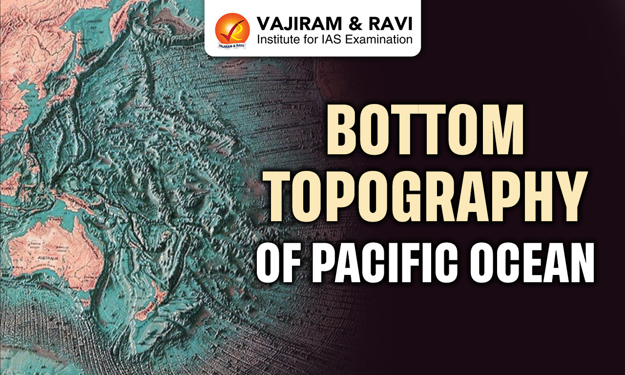
Bottom Topography of Pacific Ocean
The Pacific Ocean floor exhibits highly complex and varied relief shaped by tectonic activity, sedimentation and volcanism. Its average depth is about 4,280 metres, with vast abyssal plains, deep trenches, ridges and basins. The eastern margin is narrow and steep, while the western margin is irregular with island arcs and marginal seas. The Bottom Topography of Pacific Ocean includes extensive ridges, fracture zones and more than 2,000 islands, making it the most structurally diverse ocean basin.
Pacific Ocean Zones
The Pacific Ocean can be divided into major zones based on the physical geography and structural characteristics.
- Northern Pacific Zone: This is the deepest region with average depths between 5,000 and 6,000 metres and connects with the Arctic via the Bering Strait. It forms an important cold water region.
- Central Pacific Zone: Characterized by numerous volcanic and coral islands, including about 160 flat topped seamounts identified by H.H. Hess. It forms sub parallel island chains called Oceanides.
- South-West Pacific Zone: Contains extensive continental shelves, marginal seas, trenches and dense island distribution which makes it structurally complex and geologically active compared to other regions.
- South-East Pacific Zone: Dominated by the East Pacific Rise, this region shows pronounced relief but lacks marginal seas, indicating distinct tectonic and geomorphic characteristics.


Pacific Ocean Topographic Divisions
The Pacific Ocean floor is divided into several major physiographic units of Bottom Topography of Pacific Ocean reflecting tectonic processes and sedimentation patterns.
- Continental Shelf: Shelves vary greatly, being narrow along American coasts but broad along Asian and Australian margins, supporting marginal seas and numerous island systems.
- Ocean Ridges: Includes major features like the East Pacific Rise and Hawaiian Ridge, formed due to seafloor spreading and volcanic activity along divergent plate boundaries.
- Ocean Rises: Elevated broad regions such as the Hawaiian Rise and Lord Howe Rise, formed due to volcanic buildup and tectonic uplift processes.
- Ocean Basins: Large depressions separated by ridges, including the Philippine, Fiji and Peru basins, with depths ranging from 4,000 to 6,000 metres.
- Ocean Deep & Trenches: Deep elongated depressions like the Mariana and Peru-Chile trenches formed due to subduction of tectonic plates.
- Abyssal Plains: Extensive flat regions formed by sediment deposition, covering large parts of the Pacific floor at depths of 3,000-6,000 metres.
Continental Shelf
The continental shelf in the Pacific shows strong regional variation due to tectonic setting and coastal morphology.
- Western Shelf Characteristics: Broad shelves along Asia and Australia range from 160 km to 1,600 km wide and reach depths between 1,000-2,000 metres, hosting marginal seas and island arcs.
- Eastern Shelf Characteristics: Narrow shelves along the Americas average about 80 km in width due to proximity of cordilleran mountain systems and steep continental slopes.
- Associated Marginal Seas: Shelves support seas like the Bering Sea, Sea of Okhotsk, Yellow Sea, East China Sea and Coral Sea, influencing regional oceanography.
- Island Distribution: Many islands such as Japan, Philippines and Indonesia are located on continental shelves, indicating tectonic uplift and sedimentary accumulation.
Pacific Ridges and Rises
Ridges and rises form important structural features of the Pacific floor shaped by tectonic activity and volcanism.
- East Pacific Rise: A major mid ocean ridge extending from near New Zealand to California, about 1,600 km wide, acting as a divergent boundary creating new oceanic crust.
- Galapagos Ridge: A minor ridge running parallel to the East Pacific Rise, branching into Carnegie Ridge and Cocos Ridge, contributing to regional tectonic complexity.
- Hawaiian Rise: Extends between 35°N and 17°N, about 2,640 km wide, formed by hotspot volcanism creating the Hawaiian island chain.
- New Zealand Ridge: Located between Australia and New Zealand, lying 200-2,000 metres below sea level and expanding near Fiji into the Fiji Plateau.
- Other Ridges: Includes Nazca Ridge, Lord Howe Rise, Norfolk Ridge and Caroline-Solomon Ridge, showing widespread tectonic uplift and volcanic processes.
Pacific Ocean Basin
Pacific Ocean basins are large depressions separated by ridges and characterized by significant depth variations and tectonic boundaries.
- Philippine Basin: Located east of the Philippines, extending from Japan to 5°N latitude, with depths between 5,000-6,000 metres and divided by Kyushu-Palau Ridge.
- Fiji Basin: Situated south of Fiji between 10°S and 32°S, with average depth around 4,000 metres and divided into North and South Fiji basins.
- East Australian Basin: Found between eastern Australia and New Zealand Ridge, with depths exceeding 5,000 metres, indicating deep oceanic depression.
- South Australian Basin: Also called Jeffreys Basin, located southeast of Australia with an average depth of about 5,000 metres.
- Peru Basin: Extends west of Peru coast between 5°S and 24°S with average depth around 4,000 metres and bounded by major ridges.
- Pacific-Antarctic Basin: Located southwest of Chile between 40°S and 60°S, extending to 130°W longitude, representing a major southern basin.
Pacific Ocean Deep & Trenches
The Ocean Trenches are the deepest parts of the Pacific Ocean, formed mainly by subduction processes along plate boundaries.
- Mariana Trench: The deepest point on Earth at 36,201 feet (11,034 metres), formed by subduction of the Pacific Plate beneath the Mariana Plate.
- Peru-Chile Trench: Located along western South America, formed by subduction of Nazca Plate beneath South American Plate, associated with Andes Mountain Formation.
- Japan Trench: Situated off Japan, created by Pacific Plate subducting beneath North American Plate, known for frequent earthquakes and tsunamis.
- Tonga Trench: A deep trench in the southwest Pacific formed by subduction of the Pacific Plate beneath the Tonga Plate.
- Philippine Trench: Located east of the Philippines, representing an active subduction zone contributing to high seismic activity.
Abyssal Plains
Abyssal plains are vast flat regions of the Bottom Topography of Pacific Ocean floor formed by deposition of fine sediments over long geological time.
- Formation Process: Created by gradual accumulation of clay, silt and biological remains, resulting in smooth and extensive flat surfaces.
- Depth Range: Typically found at depths between 3,000 and 6,000 metres, covering large portions of the Pacific basin.
- Sediment Composition: Includes red clay, radiolarian ooze and diatom ooze, depending on depth and biological productivity.
- Mineral Deposits: Contain polymetallic nodules composed of manganese, iron, nickel and cobalt formed through chemical precipitation.
- Global Importance: Play a key role in carbon storage, sediment cycles and provide habitat for deep sea organisms.
Pacific Ring of Fire
The Pacific Ring of Fire represents a major zone of tectonic activity surrounding the Bottom Topography of Pacific Ocean.
- Tectonic Setting: Formed by interaction of multiple plates including Pacific, Nazca and Eurasian plates, leading to subduction and volcanic activity.
- Volcanic Activity: Contains a majority of the world’s active volcanoes due to magma generation along subduction zones.
- Seismic Activity: Experiences frequent earthquakes due to plate movements and faulting along convergent and transform boundaries.
- Spatial Extent: Extends about 40,000 km around the Pacific margins from Alaska to New Zealand forming a horseshoe shaped belt.
- Geomorphic Impact: Responsible for formation of trenches, island arcs and mountain systems shaping Pacific bottom topography.
Pacific Ocean Surface Features
Surface and near surface of the Bottom Topography of Pacific Ocean features complement the bottom relief and reflect geological and oceanographic processes.
- Submarine Canyons: Deep valleys on continental slopes formed by turbidity currents transporting sediments from land to deep ocean basins.
- Islands and Archipelagos: Over 2,000 islands including volcanic and coral types, concentrated mainly in the western Pacific forming Melanesia, Micronesia and Polynesia.
- Seamounts and Guyots: Underwater volcanic mountains, often flat topped due to erosion, indicating past volcanic activity and plate movement.
- Coral Reefs: Extensive reef systems like those in the South Pacific formed by biological processes, contributing to biodiversity and coastal protection.
- Fracture Zones: Linear features like Mendocino and Clipperton fracture zones marking plate boundaries and influencing ocean floor structure.
Bottom Topography of Pacific Ocean Significance
The Bottom Topography of Pacific Ocean has major strategic, economic, climatic and geological importance globally.
- Tectonic Significance: Active plate boundaries explain earthquakes, volcanoes and mountain building, providing key evidence for plate tectonics theory.
- Climatic Influence: Ocean-atmosphere interactions lead to phenomena like El Niño and La Niña, affecting global weather patterns and monsoons.
- Mineral Resources: Abyssal plains contain polymetallic nodules rich in manganese, nickel, cobalt and copper, especially in Clarion-Clipperton Zone (CCZ).
- Biodiversity Support: Diverse habitats such as trenches, reefs and seamounts support unique marine ecosystems and high biological productivity.
- Strategic Importance: Major shipping routes connect Asia, Americas and Oceania, making the Pacific crucial for global trade and economic activities.
![]() Last updated on July, 2026
Last updated on July, 2026
→ UPSC Mains 2026 will be conducted on 21st, 22nd, 23rd, 29th and 30th August 2026.
→ Enroll in Vajiram & Ravi’s UPSC Mains Test Series 2026 for structured answer writing practice, expert evaluation, and exam-oriented feedback.
→ Go through the UPSC Mains Previous Year Papers to enhance your preparation.
→ UPSC has released UPSC Toppers List 2025 with the Civil Services final result on its official website.
→ UPSC Calendar 2027 has been released.
→ Also check Best UPSC Coaching in India
Bottom Topography of Pacific Ocean FAQs
Q1. What is the average depth of the Pacific Ocean?+
Q2. Which is the deepest trench in the Bottom Topography of Pacific Ocean?+
Q3. What are abyssal plains in the Pacific Ocean?+
Q4. Why is the Pacific Ring of Fire important?+
Q5. What are polymetallic nodules found in the Pacific Ocean?+
Tags: bottom topography of pacific ocean geography geography notes