About Gram Manchitra application
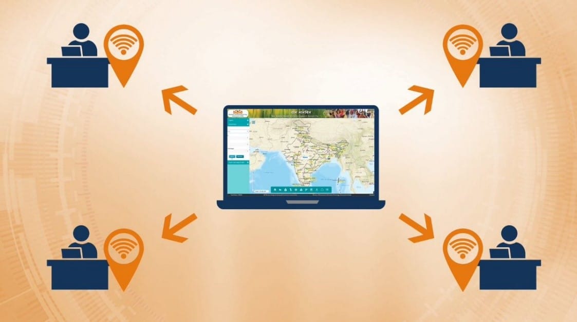
- In order to encourage the Spatial Planning by the Gram Panchayat, Ministry of Panchayati Raj had launched the Geographic Information System (GIS) application “Gram Manchitra”
- This application facilitates and supports Gram Panchayats to perform planning at Gram Panchayat level using geo-spatial technology.
- It provides a single/ unified Geo Spatial platform to better visualize the various developmental works to be taken up across the different sectors and provide a decision support system for Gram Panchayat Development Plan (GPDP).
- Further, Ministry has launched mActionSoft, a mobile based solution to help in capturing photos with Geo-Tags (i.e. GPS Coordinates) for the works which have asset as an output.
- Geo-tagging of the assets is done in all three stages viz. (i) before start of the work, (ii) during the work and (iii) on completion of work.
- This would provide a repository of information on all works and assets related to natural resource management, water harvesting, drought proofing, sanitation, agriculture, check dams and irrigation channels etc.
- Assets geo-tagged using the m-ActionSoft application is available on Gram Manchitra, enhancing the visualization of various developmental works in the Gram Panchayats.
- The assets created under the finance commission funds are geotagged with the photographs of assets by the Panchayats.
- Significance
- It will help Gram Panchayat officials develop realistic and achievable development plans.
- These tools provide a decision support system in the preparation of development plans viz. tools for identifying potential sites for development projects, asset tracking, estimating the costs of projects, and assessing the impact of projects.
Q1) What is Spatial planning?
It is an interdisciplinary field in the engineering and social sciences that deals with the spatial arrangement and development of living, working and environmental conditions at a wide range of spatial levels.


 Last updated on Oct, 2026
→ UPSC 2027 Notification will be released on 13 January 2027 at upsconline.nic.in.
→ Asian Games 2026 are being held in Aichi-Nagoya, Japan, from 19 September to 4 October.
→ Check Nobel Prize 2026 Winners List here.
→ Download PIB PRiSM Monthly Magazine 2026 here.
→ Check UPSC Monthly Current Affairs Magazine The Recitals here.
→ Check out the latest UPSC Syllabus here.
→ Download UPSC Model Answers for Mains 2026
→ UPSC Mains Question Paper 2026 is out now for Essay & GS Paper 1, 2, 3 & 4.
→ UPSC Calendar 2027 has been released.
→ Enroll in Vajiram & Ravi’s UPSC Mains Test Series 2027 for structured answer writing practice, expert evaluation, and exam-oriented feedback.
→ Join Vajiram & Ravi’s UPSC Mentorship Program 2027 for personalized guidance, strategy planning, and one-to-one support from experienced mentors.
→ Go through the UPSC Mains Previous Year Papers to enhance your preparation.
→ UPSC has released UPSC Toppers List 2025 with the Civil Services final result on its official website.
→ Also check Best UPSC Coaching in India