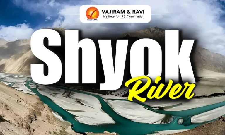
The Shyok River is one of the major tributaries of the Indus River, flowing through northern Ladakh in India before entering Gilgit-Baltistan in Pakistan. The river is approximately 550 km (340 miles) long and drains a basin of about 33,465 sq km spread across India, Pakistan and China. It is known for its unusual course, glacial origin, strategic valley and important role in sustaining life in the cold desert region of the Karakoram.
Shyok River
The word “Shyok” has different explanations. It is popularly interpreted as “River of Death” because of its dangerous floods, while another explanation links it to the Tibetan word “Shayog,” meaning “gravel spreader,” referring to the large amount of gravel deposited by the Shyok River. Historically, the Shyok Valley served as an important trade route between Ladakh, Baltistan and Central Asia. During the British Period, the Survey of India mapped the valley, while today the river corridor remains strategically important because it flows between the Line of Actual Control (LAC), the Siachen region and the Karakoram.
Shyok River Features
The Shyok River has a unique glacial course, high altitude valley and several important tributaries that make it one of the key rivers of the Indus basin.
- Origin: The river originates from the Rimo Glacier in eastern Karakoram at about 4,980 metres elevation.
- Flow Direction: It first flows south-southeast, makes a distinctive V shaped turn near the Chang Chenmo Range and later moves west-northwest.
- Course: The Shyok River flows through the Union Territory of Ladakh in India before entering Gilgit-Baltistan in Pakistan, where it finally joins the Indus River.
- River Length and Basin: The river extends nearly 550 km and drains a 33,465 sq km basin distributed across India (54%), Pakistan (28%) and China (18%), making it an important transboundary Himalayan river.
- Confluence with Indus: The river passes through broad valleys, narrow gorges and braided channels before it meets Indus at Keris near Skardu in Gilgit-Baltistan. It is often described as a major Right Bank Tributary of the Indus because it joins from the right bank.
- Major Tributaries: Important Tributaries include the Chip Chap, Galwan, Chang Chenmo, Nubra and Hushe rivers. The Nubra River is its principal right bank tributary and joins the Shyok near Diskit.


Shyok Valley
The Shyok Valley is a high altitude cold desert valley carved by the Shyok River through the Karakoram. It connects remote mountain regions, supports small settlements through irrigation and remains an important geographical corridor in Ladakh.
- Climate: The Shyok valley has a cold semi arid climate with annual rainfall generally below 200 mm. Summer temperatures often exceed 30°C, while winter temperatures commonly fall to around -10°C.
- Cold Desert Landscape: The valley has a cold desert environment with very low rainfall, generally below 200 mm annually, sparse natural vegetation and large seasonal temperature variations.
- Altitude: The valley descends from nearly 4,980 metres near the Rimo Glacier to about 2,289 metres near the river’s confluence with the Indus, creating diverse landforms along its course.
- Agricultural Settlements: Irrigation from the Shyok River supports small villages where farmers cultivate wheat, barley, potatoes and fruit orchards of apricots, apples and walnuts despite the harsh climate.
- Winter Connectivity: During severe winters, sections of the frozen river have traditionally served as a natural route connecting the Nubra Valley with Khaplu, helping local movement across difficult terrain.
- Geographical Formation: The valley was shaped by long term glacial activity, river erosion and tectonic movements, resulting in broad valleys, braided river channels, U shaped glacial landforms and narrow rocky gorges.
- Gateway to Ladakh: The valley acts as an important approach to Nubra Valley and passes through several scenic locations, making it a key travel corridor across the eastern Karakoram region.
Shyok River Significance
The Shyok River supports strategic connectivity, local livelihoods, regional ecology and historical trade across the high altitude Karakoram region.
- Strategic Importance: The river valley provides access to key mountain routes including the Karakoram Pass. Infrastructure such as the Darbuk-Shyok-Daulat Beg Oldi (DS-DBO) Road has strengthened connectivity near the Siachen Glacier and border areas.
- Agriculture and Water Source: Despite harsh climatic conditions, irrigation from the river supports cultivation of wheat, barley, potatoes, along with orchards of apricots, walnuts and apples in lower parts of the valley.
- Historical Trade Route: For centuries, caravans travelling between Leh, Baltistan, western Tibet and Central Asia used the Shyok Valley, making it an important corridor for trade and movement.
- Tourism Value: The river enhances tourism by providing access to Nubra Valley, Diskit Monastery, Hundar sand dunes, Bactrian camel rides and the annual Diskit Gustor Festival of Ladakh, attracting adventure and cultural travellers.
- Geomorphological Importance: The river flows through the Shyok Suture Zone, where the Indian and Eurasian tectonic plates collided. Glacial activity and river erosion have created braided channels, U shaped valleys and river terraces.
Shyok River Biodiversity
The Shyok River corridor forms an important ecological zone in the cold desert landscape despite sparse vegetation and harsh climatic conditions.
- Flora: Vegetation changes with altitude and water availability. Common plant species include false tamarisk (Myricaria), sea buckthorn (Hippophae rhamnoides), tamarisk (Tamarix), willows (Salix) and poplars (Populus) along the riverbanks.
- Fauna: The river supports high altitude wildlife including snow trout (Schizothorax). Gravel bars provide breeding habitat for the ibisbill (Ibidorhyncha struthersii), while riparian vegetation shelters small mammals and passerine birds.
- Ecological Region: The river forms part of the Upper Indus freshwater ecoregion and the Karakoram-West Tibetan Plateau alpine steppe, serving as an important ecological corridor across the high mountains.
- Protected Areas: A large section of the river in India lies within or along the boundary of the Nubra-Shyok/ Karakoram Wildlife Sanctuary (Ladakh), one of the country’s largest protected areas supporting fragile Himalayan ecosystems.
- Environmental Challenges: Seasonal glacier melt, heavy sediment transport, flash floods and temporary blockage by the Chong Kumdan Glacier have historically caused flooding and continue to influence the river’s natural flow and surrounding settlements.

 Last updated on Oct, 2026
→ UPSC 2027 Notification will be released on 13 January 2027 at upsconline.nic.in.
→ Check Nobel Prize 2026 Winners List here.
→ Download PIB PRiSM Monthly Magazine 2026 here.
→ Check UPSC Monthly Current Affairs Magazine The Recitals here.
→ Check out the latest UPSC Syllabus here.
→ Download UPSC Model Answers for Mains 2026
→ UPSC Mains Question Paper 2026 is out now for Essay & GS Paper 1, 2, 3 & 4.
→ UPSC Calendar 2027 has been released.
→ Enroll in Vajiram & Ravi’s UPSC Mains Test Series 2027 for structured answer writing practice, expert evaluation, and exam-oriented feedback.
→ Join Vajiram & Ravi’s UPSC Mentorship Program 2027 for personalized guidance, strategy planning, and one-to-one support from experienced mentors.
→ Go through the UPSC Mains Previous Year Papers to enhance your preparation.
→ UPSC has released UPSC Toppers List 2025 with the Civil Services final result on its official website.
→ Also check Best UPSC Coaching in India
Shyok River FAQs
Q1. Where does the Shyok River originate?+
Q2. Where does the Shyok River join the Indus River?+
Q3. Why is the Shyok River called the River of Death?+
Q4. Which is the main tributary of the Shyok River?+
Q5. Why is the Shyok River strategically important?+
Q6. Which river does the Shyok River join?+
Q7. Which glacier is the source of the Shyok River?+
Tags: geography himalayan river river system shyok river