
Ayushman Vay Vandana Initiative

Ayushman Vay Vandana Initiative

Ayushman Vay Vandana Initiative Latest News

The Ayushman Vay Vandana initiative completed two years and recorded 23.46 lakh authorised hospital admissions worth ₹5,668.80 crore.

About Ayushman Vay Vandana Initiative

  • It was launched in 2024.
  • It extends the benefits of Ayushman Bharat-Pradhan Mantri Jan Arogya Yojana (AB PM-JAY) to elderly citizens.
  • It is aiming to improve access to healthcare and reduce the financial burden of hospitalisation.
  • It is implemented by the National Health Authority (NHA) under the Ministry of Health and Family Welfare.
  • Coverage: It is designed to provide financial protection to approximately six crore senior citizens belonging to around 4.5 crore families across the country.

Features of Ayushman Vay Vandana Initiative

  • Under the initiative, all citizens aged 70 years and above are eligible for health coverage of up to ₹5 lakh per family annually for secondary and tertiary care hospitalisation,
  • Senior citizens belonging to families already covered under AB PM-JAY receive an additional top-up cover of up to ₹5 lakh annually, exclusively for themselves.
  • This coverage is separate from the existing family cover available to members below 70 years of age.

Source: PIB

Ayushman Vay Vandana Initiative FAQs

Q1: What is the aim of Ayushman Vay Vandana Initiative?

Ans: It is aiming to improve access to healthcare and reduce the financial burden of hospitalisation.

Q2: Which is the implementing agency of Ayushman Vay Vandana Initiative?

Ans: National Health Authority
Talacauvery Wildlife Sanctuary

Talacauvery Wildlife Sanctuary

Talacauvery Wildlife Sanctuary Latest News

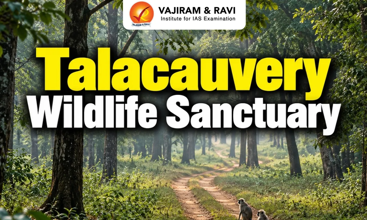
Recently, Karnataka Forest department personnel arrested “eight poachers” inside the Talacauvery Wildlife Sanctuary.

About Talacauvery Wildlife Sanctuary

  • Location: It is located in the state of Karnataka.
  • It borders Ranipuram Hills and Kottencheri hills in Kasaragod district of Kerala.
  • The Sanctuary is named after the birth place of river Cauvery that originates from the Brahmagiri peak located inside the Sanctuary.
  • It derives its name from the source of the Cauvery river (tala = head).
  • Vegetation: The Sanctuary consists of Tropical Evergreen Forests, Tropical Semi-evergreen Forests and grasslands. 
  • Flora: It includes Michelia champaca (Champak), Mesua (Ironwood), Diospyros (Ebony and other species), Toona ciliata (Indian mahogany), Chukrasia tabularis, Calophyllum angustifolium (Poon spar).
  • Fauna: It mainly has Asian Elephant Elephas maximus, Tiger Panthera tigris, Leopard P. pardus, Wild Dog Cuon alpinus, Gaur Bos frontalis, Sloth Bear Melursus ursinus.
  • It is one of the Important Bird Areas (IBA) and supports species such as the Nilgiri wood pigeon, Asian fairy-bluebird, Malabar trogon and great hornbill.

Source: DH

Talacauvery Wildlife Sanctuary FAQ's

Q1: Where is Talacauvery Wildlife Sanctuary located?

Ans: Karnataka

Q2: What type of vegetation is found in Talacauvery Wildlife Sanctuary?

Ans: The Sanctuary consists of Tropical Evergreen Forests, Tropical Semi-evergreen Forests and grasslands. 

Sankosh River

Sankosh River

Sankosh River Latest News

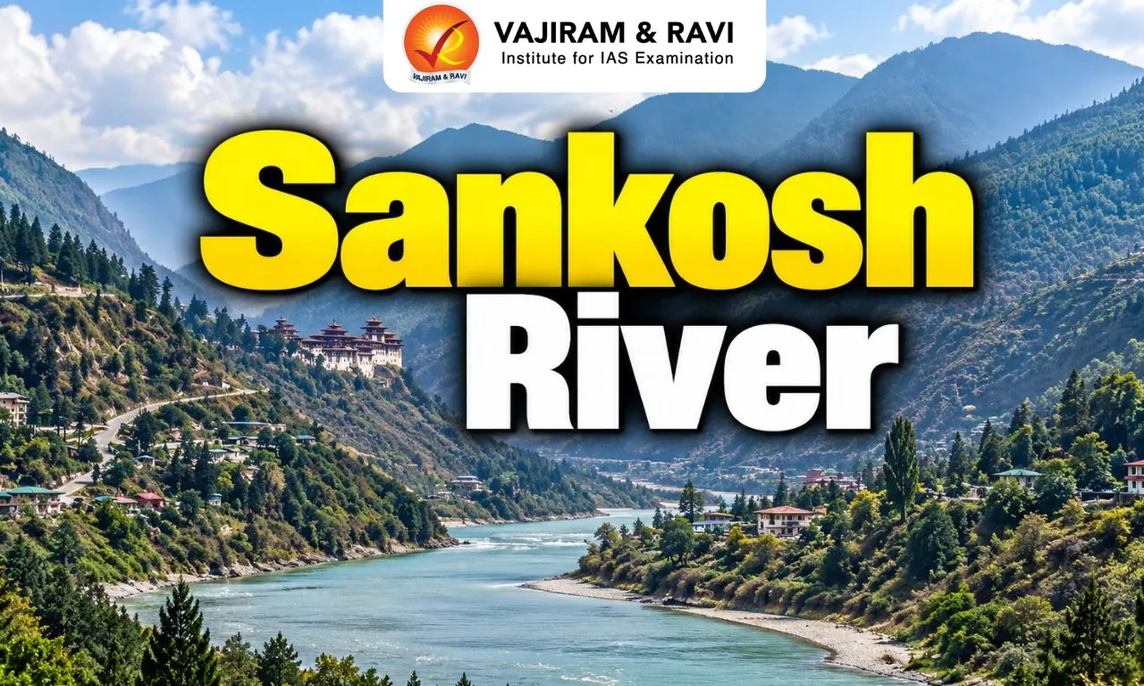
More than 10,000 people have been recently moved to shelters in West Bengal’s Alipurduar district following a glacial lake outburst in neighbouring Bhutan, as authorities placed the Sankosh river system on red alert over fears of a sudden flood surge.

About Sankosh River

  • It is a major transboundary river flowing through Bhutan and India. 
  • It is one of the major north bank tributaries of the Brahmaputra River. 
  • In Bhutan, the river is called “Puna Tsang Chu.” 
  • Course: 
    • It originates in northern Bhutan, where it is fed by glacial melt and snow from the Himalayas. 
    • It is formed by the confluence of the Phochu and Mochu rivers.
    • It flows southward through Bhutan before crossing into India, where it flows through the Dhubri district of Assam and empties into the Brahmaputra River at Gauripur. 
    • In its lower course it forms part of the boundary between the states of Assam and West Bengal.  
    • It generally flows in narrow gorges and steep gradients up to the Indo-Bhutan border and then flows with a flatter slope. 
  • Total Length: The river traverses a length of 321 km from source to outfall. It crosses a distance of 214 km in Bhutan and 107 km in India.

News: SM

Sankosh River FAQs

Q1: Which major river is the Sankosh River a tributary of?

Ans: The Brahmaputra River.

Q2: Sankosh River flows through which countries?

Ans: Bhutan and India

Q3: By what name is the Sankosh River known in Bhutan?

Ans: Puna Tsang Chu.

Q4: Which two rivers meet to form the Sankosh River?

Ans: Phochu and Mochu rivers.

Q5: What is the total length of the Sankosh River from source to outfall?

Ans: Approximately 321 km.

Mollisia sokpayensia

Mollisia sokpayensia

Mollisia sokpayensia Latest News

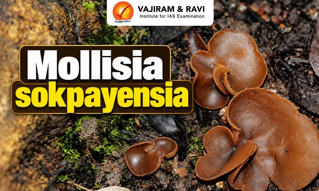
A team of microbiologists recently discovered a novel fungal species named Mollisia sokpayensia.

About Mollisia sokpayensia

  • It is a new species of fungus.
  • It is a fungal endophyte isolated from a rhizome of Panax sokpayensis, a rare and high-value medicinal plant found in the Sikkim Himalaya.  
  • Mollisia sokpayensia has been named after its host plant, recognising the association between the fungus and the medicinal species. 
  • ​In the laboratory, the fungus was isolated using Potato Dextrose Agar (PDA), a commonly used medium for cultivating fungi. 
  • The species exhibited notably slow growth under laboratory conditions. 
  • At 28°C, its colonies initially appeared cottony and brown, reaching a diameter of 2–3 cm after six days and approximately 8 cm after 14 days. 
  • The colonies gradually changed colour from brown to blackish-brown. 

What are Fungal Endophytes?

  • They are microorganisms that inhabit the internal tissues of healthy plants without causing visible disease symptoms. 
  • They are quite distinct from the fungi that grow on the surface of plants (epiphytic fungi). 
  • They can form associations with their hosts and are increasingly studied for their potential to produce bioactive compounds relevant to medicine, agriculture, and biotechnology.

News: IT

Mollisia sokpayensia FAQs

Q1: What is Mollisia sokpayensia?

Ans: It is a newly identified species of fungus.

Q2: What type of fungus is Mollisia sokpayensia?

Ans: It is a fungal endophyte that inhabit the internal tissues of healthy plants without causing visible disease symptoms. .

Q3: From which plant was Mollisia sokpayensia isolated?

Ans: It was isolated from the rhizome of Panax sokpayensis.

Q4: How did Mollisia sokpayensia grow under laboratory conditions?

Ans: It exhibited notably slow growth.

INS Srishti

INS Srishti

INS Srishti Latest News

Goa Shipyard Limited (GSL) recently launched the next generation offshore patrol vessel (NGOPV) INS Srishti (Yard 1283) for the Indian Navy. 

About INS Srishti

  • INS Srishti (Yard 1283) is the fourth Next-Generation Offshore Patrol Vessel (NGOPV) built by Goa Shipyard Limited (GSL) for the Indian Navy. 
  • INS Srishti forms part of the Indian Navy’s NGOPV acquisition program, under which 11 vessels were ordered through contracts signed on 30 March 2023. 
  • The project is being executed simultaneously by two Indian shipyards, with seven vessels being constructed by GSL and four by Garden Reach Shipbuilders & Engineers (GRSE). 
  • The program has been developed under the Buy (Indian-IDDM) category, placing emphasis on indigenous design, development, and manufacturing.  
  • Designed as versatile multi-mission platforms, the NGOPVs will undertake a broad range of operational tasks, including maritime surveillance, Search and Rescue (SAR), protection of offshore assets, Humanitarian Assistance and Disaster Relief (HADR), and anti-piracy operations. 
  • Key Features of NGOPVs:
    • The NGOPVs are significantly larger and more capable than the Offshore Patrol Vessels.
    • NGOPVs measure approximately 110 m in length, with a draught of less than 5 m, and have a displacement of 3,000 tonnes.
    • They can achieve speeds of up to 23 knots and have an endurance of 8,500 nautical miles at a cruising speed of 14 knots.
    • The vessels can operate at sea for up to 60 days and can accommodate around 20 officers.

News: NEWSM

INS Srishti FAQs

Q1: What is INS Srishti?

Ans: It is the fourth Next-Generation Offshore Patrol Vessel (NGOPV) built by Goa Shipyard Limited (GSL) for the Indian Navy.

Q2: Under which acquisition programme is INS Srishti being constructed?

Ans: The Indian Navy’s Next-Generation Offshore Patrol Vessel (NGOPV) acquisition programme.

Q3: What are the major operational roles of INS Srishti?

Ans: Maritime surveillance, Search and Rescue (SAR), protection of offshore assets, Humanitarian Assistance and Disaster Relief (HADR), and anti-piracy operations.

Surangams

Surangams

Surangams Latest News

A comprehensive project to rejuvenate the district’s traditional underground water tunnels, known as “Surangams”, is set to be implemented in eight grama panchayats in Kasaragod Districts of Kerala.

About Surangams

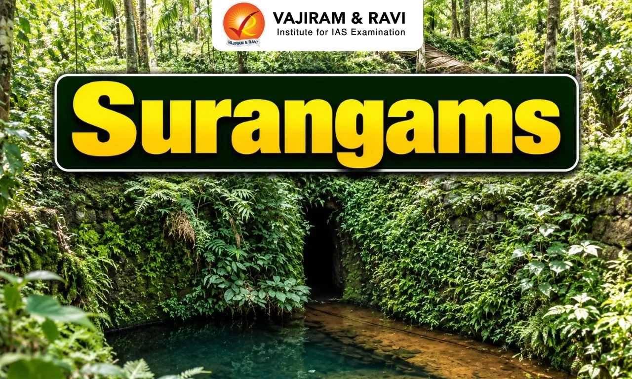
  • Surangams, also known as tunnel wells, are a remarkable indigenous water management system unique to the Kasaragod District of Kerala and parts of Dakshina Kannada in Karnataka. 
  • They are also known by different names, such as Surangas, Thurangams, or Thorappu. 
  • While its origins remain unclear, historians draw parallels to the Qanat system of Persia, introduced to India via the ancient Silk Route.  
  • Features:
    • These are basically horizontal tunnels dug through a laterite hillock through which water seeps out and into the tunnel. 
    • Water is then collected at the end of the tunnel in a storage pit.  
    • Built without pumps or electric motors, surangams rely entirely on natural water percolation.  
    • They channel underground water to the surface using gravity, ensuring a steady and sustainable supply for households and agriculture.
    • Generally a surangam was about 0.45–0.70 m wide and about 1.8-2.0 m in height. The length of the tunnel varied between 3 m to 300 m. 
    • For long tunnels, air shafts were provided to ensure atmospheric pressure.
    • Surangams are dug in places where the hydrogeological profile consists of lateritic and weathered rocks. 
  • Workmen who traditionally undertook the digging of surangas were people who were familiar with the slopes, soil structure, and catchment areas and used their knowledge of local flora and fauna to identify water sources. 
  • With over 5,000 surangas in Kasaragod District alone, this system has played a crucial role in sustaining the local communities.

News: TH

Surangams FAQs

Q1: What are Surangams?

Ans: Surangams are traditional underground water-harvesting structures, also known as tunnel wells.

Q2: In which regions of India are Surangams traditionally found?

Ans: Kasaragod district of Kerala and parts of Dakshina Kannada district of Karnataka.

Q3: Which traditional water-harvesting system is considered comparable to Surangams?

Ans: The Qanat system of Persia.

Q4: How are Surangams constructed?

Ans: They are constructed by digging horizontal tunnels through laterite hillocks.

Q5: How do Surangams bring underground water to the surface?

Ans: They use gravity to channel groundwater through horizontal tunnels.

National Cooperative Development Corporation

National Cooperative Development Corporation

National Cooperative Development Corporation Latest News

Recently, the 93rd Meeting of the General Council of the National Cooperative Development Corporation (NCDC) was held at the Corporation's headquarters in New Delhi.

About National Cooperative Development Corporation

  • It is a statutory organisation established in 1963, under the Ministry of Cooperation, Government of India.
  • Objective: Promoting, strengthening and developing farmer cooperatives for increasing production, productivity and instituting post- harvest facilities across the country. 

Functions of National Cooperative Development Corporation

  • Promoting and strengthening farmer cooperatives: It aims to increasing production, productivity by developing farmer cooperatives and instituting post-harvest facilities
  • Postharvest Facilities: It provides assistance for developing processing, storage, cold chain and marketing of agricultural produce and the supply of seeds, fertilizer and other agricultural inputs etc.
  • Financial Assistance: It provides financial assistance to the cooperative sector for their economic development and social upliftment through NCDC Sponsored schemes and various GoI schemes implemented by NCDC
  • It also supports income-generating cooperatives across various non-farm sectors such as weaker section activities which include dairy, livestock, handloom, sericulture etc.

Initiatives of National Cooperative Development Corporation

  • Yuva Sahakar: The scheme aims at encouraging newly formed cooperative societies with new and/ or innovative ideas.
  • Ayushman Sahakar: The scheme has a comprehensive approach to cover hospitals, healthcare, medical education, nursing education, paramedical education, health insurance and holistic health systems such as AYUSH.
  • Nandini Sahakar: The scheme aims to improve the socio-economic status of women and supports the entrepreneurial dynamism of women through women’s cooperatives.
  • Dairy Sahakar: It is a cooperative dairy business focused framework of financial assistance for encouraging cooperatives to achieve higher outcomes in ESG (environmental, social, governance) linked activities.
  • Swayam Sahakar: Scheme for providing NCDC's financial assistance to Agricultural Credit Cooperatives for providing loan/advances to Women Self Help Groups (SHGs).

Source: PIB

National Cooperative Development Corporation FAQs

Q1: What is National Cooperative Development Corporation ?

Ans: It is a statutory organisation established in 1963, under the Ministry of Cooperation, Government of India.

Q2: What is the objective of National Cooperative Development Corporation ?

Ans: Promoting, strengthening and developing farmer cooperatives for increasing production, productivity and instituting post- harvest facilities across the country. 

Gangetic River Dolphin

Gangetic River Dolphin

Gangetic River Dolphin Latest News

Recently, the United Nations Environment Programme (UNEP) report recognized India's Ganges River dolphin (Platanista gangetica) species recovery program. 

About Gangetic River Dolphin

  • It is a freshwater species and one of the few river dolphins found in the world.
  • Other Names: Blind dolphin, Ganges dolphin, Ganges susu, hihu, side-swimming dolphin, South Asian River Dolphin.
  • Distribution: It inhabits the Ganges-Brahmaputra-Meghna and Karnaphuli-Sangu river systems of Nepal, India, and Bangladesh.
  • It has been recognized by the government of India as its National Aquatic Animal.

Features of Gangetic Dolphin

  • It has a long, thin snout, rounded belly, stocky body, and large flippers are characteristics of the Ganges River dolphin.
  • Diet: It feeds majorly on freshwater fish and invertebrates.
  • Its eyes lack lenses, and as a result, this species is also referred to as the “blind dolphin”.
  • They have a highly developed bio-sonar system that facilitates them to hunt for fish even in murky waters.
  • They emit an ultrasonic sound which reaches the prey. The dolphin then registers this image in its mind and subsequently catches hold of its prey.
  • Being a mammal, the Ganges River dolphin cannot breathe in the water and must surface every 30-120 seconds. 
  • Because of the sound it produces when breathing, the animal is popularly referred to as the ‘Susu’.

Conservation Status of Gangetic Dolphin

Source: NIE

Gangetic River Dolphin FAQs

Q1: Where do we find Gangetic River Dolphin?

Ans: It inhabits the Ganges-Brahmaputra-Meghna and Karnaphuli-Sangu river systems of Nepal, India, and Bangladesh.

Q2: What is the IUCN Red list status of Gangetic River Dolphin?

Ans: Endangered

Mexico

Mexico

Mexico Latest News

India and Mexico signed the Terms of Reference (ToR) to start negotiations on a trade deal between the two countries, the government announced following the signing in Mexico.

About Mexico

  • Location: It is located in the southern part of North America. 
  • Bordering Countries: It shares its land border with the United States of America to the north and with Guatemala and Belize to the southeast. 
  • Maritime boundaries: It is surrounded by the Pacific Ocean to the south and west; by the Gulf of Mexico and the Caribbean Sea to the east. 
  • Capital City: Mexico City

Geographical Features of Mexico

  • It is a part of the circum-Pacific “Ring of Fire”—a region of active volcanism and frequent seismic activity. 
  • Peninsulas: It consists of the Baja Peninsula and Yucatan Peninsula.
  • Major Rivers: It is mainly drained by the Rio Grande River and Colorado River (which is shared with US)
  • Lakes: Lake Chapala and Lake Cuitzeo.
  • Major mountain range: Sierra Madre.
  • Natural Resources: It mainly consists of Petroleum, silver, Antimony, Copper, Gold, Lead, zinc, natural gas.

Source: TH

Mexico FAQs

Q1: What is the capital city of Mexico ?

Ans: Mexico City

Q2: Which peninsulas are present in Mexico ?

Ans: It consists of the Baja Peninsula and Yucatan Peninsula.

Sakurajima Volcano

Sakurajima Volcano

Sakurajima Volcano Latest News

Japan's Sakurajima volcano blasted a thick plume of ash into a clear blue sky recently.

About Sakurajima Volcano

  • It is located on the southern tip of Kyushu Island near the city of Kagoshima, Southern Japan.
  • It lies in Kagoshima Bay (Kinkowan Bay), on the southern edge of the Aira Caldera. 
  • It is one of Japan’s most active volcanoes, and eruptions of varying levels take place on a regular basis.
  • As it is situated on a convergent plate margin, Sakurajima is a stratovolcano formed from layers of lava and ash. 
  • It lies at an elevation of 1,117 meters and has a circumference of about 50 kilometers. 
  • It is an andesitic volcano (meaning it has a high gas content and is very viscous).
  • It consists of two principal volcanic peaks:
    • Kitadake (Northern Peak): Older and currently inactive.
    • Minamidake (Southern Peak): Younger and currently active.
  • Sakurajima began forming approximately 13,000 years ago; prior to 1914, it was an island in Kagoshima Bay. 
  • Sakurajima was joined to the mainland by the deposition of volcanic material following a major eruption in 1914. 
  • Since 1955, Sakurajima volcano has erupted 100-200 times each year.  
  • Most eruptions are Stombolian in character and affect only the summit of the volcano.

News: REUT

Sakurajima Volcano FAQ's

Q1: Where is Sakurajima Volcano located?

Ans: It is located at the southern tip of Kyushu Island, near Kagoshima city in southern Japan.

Q2: On what type of tectonic plate boundary is Sakurajima Volcano located?

Ans: A convergent plate boundary.

Q3: What type of volcano is Sakurajima?

Ans: A stratovolcano.

Q4: What is the volcanic composition of Sakurajima?

Ans: It is an andesitic volcano (meaning it has a high gas content and is very viscous).

Q5: What is the characteristic nature of most eruptions of Sakurajima Volcano?

Ans: Most are Strombolian in character and affect mainly the summit of the volcano.

Enquire Now