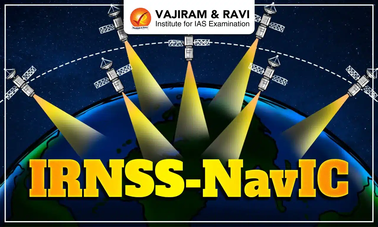
The Indian Regional Navigation Satellite System (IRNSS), also known as the Navigation with Indian Constellation (NavIC), is an independent, stand-alone indigenous navigation satellite system developed by the Indian Space Research Organisation (ISRO). It will be under the complete control of India, with the space segment, ground segment and user receivers all being built in India. It will have a wide range of applications, including personal navigation.
The IRNSS - NavIC project became operational in 2018. NavIC was conceived to remove dependence on the satellite systems of other countries for navigation, especially for "strategic sectors."
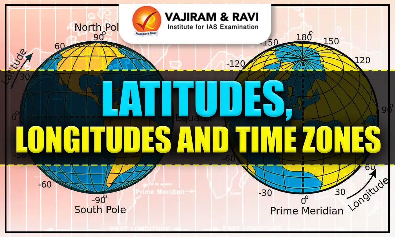
Satellite-based Navigation
The foundation of satellite-based navigation is a global network of satellites in medium earth orbit that broadcast radio signals. Globally, satellite navigation is most familiar with the 31 Global Positioning System (GPS) satellites, which are developed and operated by the United States.
- Three other constellations also provide similar services; together these constellations and their respective augmentations are known as Global Navigation Satellite Systems (GNSS). The other constellations are:
- GLONASS - It is developed and operated by the Russian Federation
- Galileo - It is developed and operated by the European Union
- BeiDou - It is developed and operated by China.
- Satellite-based navigation systems have emerged as a frontrunner in providing positioning, navigation and timing (PNT) services to users across the world.
- India has entered the arena of satellite navigation with its two major projects, GAGAN (GPS Aided Geo Augmented Navigation) and IRNSS (Indian Regional Navigation Satellite System).
- GAGAN is a space-based augmentation for GPS developed jointly by ISRO and the Airports Authority of India (AAI).
IRNSS - NavIC
IRNSS is an independent regional navigation satellite system being developed in India by the Indian Space Research Organisation (ISRO). IRNSS envisages the establishment of a regional navigational satellite system using a combination of geosynchronous orbit(GEO) and geostationary orbit (GSO) spacecraft and state-of-the-art ground systems.
- Area covered: IRNSS-NavIC is designed to provide accurate position information service to users in India and the region extending up to 1500 km from its boundary, which is its primary service area.
- An extended service area lies between the primary service area and the area enclosed by the rectangle from latitude 30° South to 50° North and longitude 30° East to 130° East.
- IRNSS-NavIC network: NavIC is designed with a constellation ofseven satellites and a network of ground stations operating around the clock.
- Three satellites are placed in GSO.
- Four satellites are placed in inclined GEO.
- The ground network comprises a control centre, accurate timing facility, range and integrity monitoring stations, two-way ranging stations, etc.
- IRNSS services: IRNSS will provide two types of services, namely:
- Standard Positioning Service (SPS) - that is provided to all users.
- Restricted Service (RS) - an encrypted service provided only to authorised users.
- The signals of the other global navigation satellite systems (GNSS), including GPS, GLONASS, Galileo, and BeiDou provide interoperability with those of the NavIC SPS signals.
- Frequency band: The seven satellites in the NavIC constellation so far use two frequencies for providing positioning data the L5 and S bands.
- Accuracy: The IRNSS System is expected to provide a position accuracy of better than 20 m in the primary service area.


Need of IRNSS - NavIC
The respective countries' defence ministries run GPS and GLONASS.
- Military need: Civilian service may be rejected or given a lower priority by these countries, which happened during the Kargil War.
- During the Kargil War in 1999, India requested information from the US about enemy locations, but the US refused; leading to the realisation of the crucial need for an independent navigation system.
- Reliant India: Other than military needs, India was reliant on other navigation systems for its civil navigation purposes like aviation. The IRNSS-NavIC is held as transformative for civilian use as well.
- Disaster risk reduction: Having indigenously built navigation systems helps reduce disaster risk by providing highly accurate positioning services.
Old Satellites of IRNSS - NavIC
Each of the seven satellites in the IRNSS constellation weighed much less (around 1,425 kg at liftoff) and rode the lighter Polar Satellite Launch Vehicle (PSLV) - ISRO’s workhorse launch rocket. These are:
- IRNSS-1A
- IRNSS-1B
- IRNSS-1C
- IRNSS-1D
- IRNSS-1E
- IRNSS-1F
- IRNSS-1G
- IRNSS-1H
- IRNSS-1I
In 2018, IRNSS-1I, the final satellite in the constellation, was launched to take the place of an older, partially defunct satellite.
Second Generation NavIC Satellites
The 2nd-generation satellite named NVS-01, the first of ISRO’s NVS series of payloads, is heavier.
- Atomic clock: The satellite will have a Rubidium atomic clock onboard, a significant technology (only a handful of countries possess) developed indigenously by the Space Application Centre-Ahmedabad.
- Using the atomic clocks on board, a satellite-based positioning system precisely measures the time it takes for a signal to travel to and from an object.
- Frequency addition: The 2nd generation of NavIC satellites will send signals at a third frequency, L1, besides the L5 and S frequency signals that the existing satellites provide, increasing interoperability with other satellite-based navigation systems.
- The L1 frequency is among the most commonly used in GPS and will increase the use of the regional navigation system in wearable devices and personal trackers that use low-power, single-frequency chips.
- Longer life span: The 2nd-generation NavIC satellites will also have a longer mission life of more than 12 years (existing satellites - 10 years).
NavIC vs. GPS
The difference between NavIC and GPS is tabulated below:
| NavIC | GPS |
| - NaVIC is more accurate than GPS, which can get you even closer within 5 metres. | - GPS can locate your target within 20 metres. |
| - Regional satellite-based navigation system that can only be used within India and up to 1,500 km from its borders. | - Global satellite-based navigation system that can be used anywhere in the world. |
| - Developed in India by ISRO. | - Developed in the USA by the US Department of Defence. |
| - Constellation of seven satellites | - Constellation of thirty-one satellites |
Advantages of Having an Indigenous Regional Navigation System
India has become one of the select few nations to have satellite navigation capabilities with the launch of IRNSS. It gives India the following advantages.
- Self-reliant India: As a stand-alone regional system over the Indian subcontinent, NavIC does not rely on other systems to provide positional service within its service area.
- Strengthening friendly relations with neighbours: With extensive coverage in the Indian subcontinent, one of the stated future uses of IRNSS-NavIC includes the sharing of data and access with the SAARC nations.
- This will be an act of diplomatic goodwill from India towards the countries in the region and will aid in further integrating the regional navigation system.
- Accuracy: With fully operational NavIC (with ground stations outside India in Japan, France, and Russia for better triangulation of signals), open signals will be accurate up to 5 metres and restricted signals will be more accurate (GPS ~20 metres).
- Constant location watch: Unlike GPS, NavIC uses satellites in high geo-stationery orbit that move at a constant speed relative to Earth, so they are always looking over the same region on Earth.
- Accuracy and constant location watch are beneficial for India’s armed forces, as they expand vigilance and avoid cross-border terrorism.
- Last mile reach: NavIC signals arrive in India at a ninety-degree angle, which facilitates their ability to reach devices situated in crowded regions, thick forests, or mountains.
- Total authority: The Indian government has complete authority over IRNSS - NavIC.
Applications of IRNSS - NavIC
NavIC is recognised by the International Maritime Organisation (IMO) as part of the World-Wide Radio Navigation System, enabling its use in areas like maritime navigation.
- MapmyIndiaNavIC Message Receiver App: Indian fishermen often cross international maritime boundaries during routine fishing.
- The app alerts them to avoid setting out in adverse weather conditions such as cyclones, tidal waves, high tides, etc. with the help of INCOIS and recalls those beyond the international boundary.
- Projects utilisation: NavIC finds utilisation in national projects like public vehicle safety, power grid synchronisation and real-time train information systems.
- Other upcoming initiatives: Common alert protocol-based emergency warning, time dissemination, geodetic networks (used for terrestrial surveying) and unmanned aerial vehicles.
- Integration with mobile phones: Many mobile phones available in the country already use chipsets capable of receiving NavIC signals.
- Civil aviation: IRNSS-NavIC can provide satellite-based navigation services with more accuracy and integrity necessary for civil aviation applications and to provide better air traffic management over Indian airspace.
- NavIC can be used for visual as well as voice navigation for drivers.
Although India’s NavIC programme is well set up for civilian and military use, future challenges remain. Even as of 2023, the common man cannot use the NavIC signal and depends on GPS, the only signal available on mobile phones. Therefore, it is necessary to ensure that mobiles used in India come with a NavIC facility.
![]() Last updated on March, 2026
Last updated on March, 2026
→ UPSC Final Result 2025 is now out.
→ UPSC has released UPSC Toppers List 2025 with the Civil Services final result on its official website.
→ Anuj Agnihotri secured AIR 1 in the UPSC Civil Services Examination 2025.
→ UPSC Marksheet 2025 is now out.
→ UPSC Notification 2026 & UPSC IFoS Notification 2026 is now out on the official website at upsconline.nic.in.
→ UPSC Calendar 2026 has been released.
→ Check out the latest UPSC Syllabus 2026 here.
→ UPSC Prelims 2026 will be conducted on 24th May, 2026 & UPSC Mains 2026 will be conducted on 21st August 2026.
→ The UPSC Selection Process is of 3 stages-Prelims, Mains and Interview.
→ Prepare effectively with Vajiram & Ravi’s UPSC Prelims Test Series 2026 featuring full-length mock tests, detailed solutions, and performance analysis.
→ Enroll in Vajiram & Ravi’s UPSC Mains Test Series 2026 for structured answer writing practice, expert evaluation, and exam-oriented feedback.
→ Join Vajiram & Ravi’s Best UPSC Mentorship Program for personalized guidance, strategy planning, and one-to-one support from experienced mentors.
→ Shakti Dubey secures AIR 1 in UPSC CSE Exam 2024.
→ Also check Best UPSC Coaching in India
IRNSS - NavIC FAQs
Q1. What is IRNSS NavIC?+
Q2. Which are the current satellite-based navigation systems operational in the world?+
Q3. Why was there a need for IRNSS - NavIC when already GPS or GLONASS is there?+
Q4. What are the different segments of IRNSS - NavIC?+
Q5. How is a regional navigation system different from a global navigation system?+
Tags: irnss navic quest