What’s in Today’s Article?
- NAKSHA Scheme Latest News
- NAKSHA: A City Survey Initiative
- NAKSHA Scheme Scope and Implementation
- NAKSHA Scheme Objectives and Benefits
- NAKSHA: Addressing Urban Land Record Challenges
- NAKSHA Scheme Scope, Funding, and Implementation
- How the Survey Will Be Conducted
- Conclusion
- NAKSHA Scheme FAQs
NAKSHA Scheme Latest News
- The Union Rural Development Minister, Shivraj Singh Chouhan, launched the NAKSHA initiative (NAtional geospatial Knowledge-based land Survey of urban HAbitations).
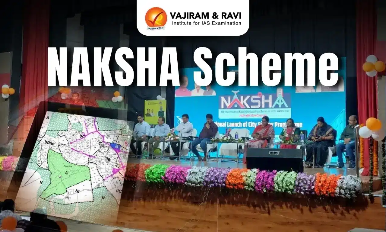
NAKSHA: A City Survey Initiative
- NAKSHA (NAtional geospatial Knowledge-based land Survey of urban HAbitations) is a city survey initiative under the Digital India Land Records Modernization Programme (DILRMP).
- It aims to modernize urban land records and boost transparency in property ownership and transactions.
- It is being implemented by the Department of Land Resources (DoLR), Ministry of Rural Development.
NAKSHA Scheme Scope and Implementation
- Focuses on mapping towns and cities for better land governance.
- Launched as a pilot project across 152 urban local bodies in 26 states.
- Applicable to cities with an area < 35 sq km and population < 2 lakhs.
- The pilot phase will be completed within a year.
NAKSHA Scheme Objectives and Benefits
- Creates a comprehensive geospatial database for urban land records.
- Uses aerial and field surveys integrated with GIS technology.
- Enhances land governance, streamlines property records, and supports urban planning.
- Improves decision-making, ensures efficient land use, and facilitates smoother property transactions.
NAKSHA: Addressing Urban Land Record Challenges
- Through NAKSHA and the National Geospatial Mission, the government aims to enhance urban planning, governance, and infrastructure development.
Need for Urban Land Record Updation
- While rural land records have improved, many cities lack proper maps even today.
- Except for Tamil Nadu, Maharashtra, Gujarat, and Goa, most states have outdated or unstructured land records.
- Poor land records lead to inefficiencies in governance and taxation.
Government Initiative and Budget Announcements
- First proposed in the Union Budget 2024, focusing on GIS mapping of urban land records.
- Objectives outlined in Budget 2024:
- Digitization of urban land records.
- IT-based system for property administration and tax management.
- Strengthening financial position of urban local bodies.
- Reaffirmed in Budget 2025, emphasizing:
- Urban sector reforms in governance, municipal services, and planning.
- Launch of the National Geospatial Mission under PM Gati Shakti to modernize land records and infrastructure planning.
NAKSHA Scheme Scope, Funding, and Implementation
- Coverage and Scale
- India has 7,933 towns covering 1.02 lakh sq km (Census 2011).
- NAKSHA will cover 4,142.63 sq km in its initial phase.
- After the pilot, the government plans to expand it to 4,912 urban local bodies.
- Funding
- 100% centrally funded initiative.
- Expected Benefits
- Provides comprehensive digital urban land records.
- Reduces land disputes and facilitates faster urban planning.
- Improves property tax collection and simplifies transactions.
- Enhances access to credit by streamlining ownership records.
How the Survey Will Be Conducted
- Use of Drone Technology
- Aerial photography using two types of cameras:
- Simple cameras.
- Oblique angle cameras (5 cameras with LiDAR sensors).
- Mounted on drones with 5 cm resolution, much sharper than satellite imagery.
- Aerial photography using two types of cameras:
- Three-Stage Survey Process
- Drone Survey & Data Collection
- Select survey area and create a flight plan.
- Drones capture images, from which data is extracted.
- Field Survey & Data Verification
- Ground verification of property tax, ownership, and registration records.
- 2D/3D models are created, and draft land ownership details are published.
- Public Review & Finalization
- Claims and objections are reviewed.
- Grievance redressal is conducted.
- Final maps are published.
- Drone Survey & Data Collection
Conclusion
- NAKSHA aims to modernize urban land records, making them accurate, transparent, and efficient for governance and development.
NAKSHA Scheme FAQs
Q1. How are land records maintained and updated?
Ans. Land records are maintained by local authorities, updated through surveys, digitization, and GIS mapping for accuracy and transparency.
Q2. What is the Digital India Land Record Modernization Scheme (DILRMP)?
Ans. DILRMP is a government initiative to digitize land records, improve transparency, and integrate property data with GIS technology.


Q3. Is DILRMP a central sector scheme?
Ans. Yes, DILRMP is a centrally sponsored scheme, with funding shared between the Centre and states for land records modernization.
Q4. What does the National Geospatial Agency do?
Ans. It develops geospatial infrastructure, supports urban planning, and integrates GIS for land records and infrastructure projects.
Q5. What is the mission of the National GIS?
Ans. National GIS aims to create a unified geospatial database for governance, planning, and development across various sectors.
Source: IE
Last updated on June, 2025
→ UPSC Notification 2025 was released on 22nd January 2025.
→ UPSC Prelims Result 2025 is out now for the CSE held on 25 May 2025.
→ UPSC Prelims Question Paper 2025 and Unofficial Prelims Answer Key 2025 are available now.
→ UPSC Calendar 2026 is released on 15th May, 2025.
→ The UPSC Vacancy 2025 were released 1129, out of which 979 were for UPSC CSE and remaining 150 are for UPSC IFoS.
→ UPSC Mains 2025 will be conducted on 22nd August 2025.
→ UPSC Prelims 2026 will be conducted on 24th May, 2026 & UPSC Mains 2026 will be conducted on 21st August 2026.
→ The UPSC Selection Process is of 3 stages-Prelims, Mains and Interview.
→ UPSC Result 2024 is released with latest UPSC Marksheet 2024. Check Now!
→ UPSC Toppers List 2024 is released now. Shakti Dubey is UPSC AIR 1 2024 Topper.
→ Also check Best IAS Coaching in Delhi