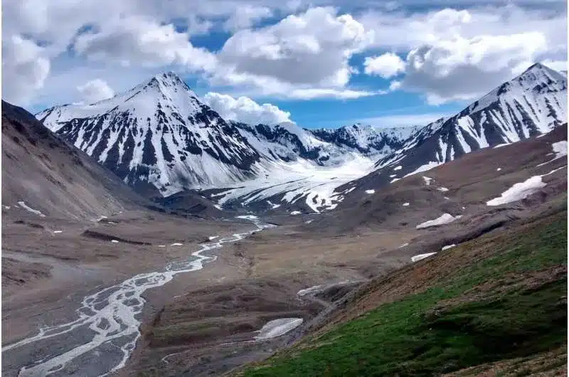
Key Findings on the Denali Fault
- Denali Fault, located in southern Alaska, has played a crucial role in shaping Earth’s geological history.
- A study reveals that three sites along the Denali Fault were once part of a single geologic feature, symbolizing the final joining of two landmasses millions of years ago.
- Over 483 km of horizontal movement along the fault tore apart this united feature due to millions of years of tectonic activity.
- These three locations once formed a terminal suture zone, indicating the last phase of tectonic plate integration into a larger mass.
About Fault Lines
Definition: A fault line is the visible intersection of a geological fault with the Earth’s surface. It refers to a fracture or zone of fractures between two blocks of rock caused by stresses generated by tectonic plate movements.
Characteristics of Faults
- Faults are closely associated with the movement of Earth’s tectonic plates.
- The largest faults are found along plate boundaries.
- Movement along faults can occur rapidly, resulting in earthquakes, or gradually, in the form of creep.
- Faults vary in length from a few millimetres to thousands of kilometres, such as the San Andreas Fault in California or the Anatolian Fault in Turkey.
- Fault surfaces can be horizontal, vertical, or inclined at various angles.
- Earth scientists classify faults based on the angle of the fault relative to the surface (known as the dip) and the direction of movement along the fault.
Types of Faults
- Strike-Slip Faults: These faults occur when tectonic plates slide past each other horizontally, with little to no vertical movement.
- These faults are commonly found in regions where lateral stress dominates.
- A well-known example is the San Andreas Fault in California, which has caused several powerful earthquakes.
- Normal Faults: These faults occur when one block of rock slides downward, pulling away from the adjacent block.
- These faults create space by stretching the Earth’s crust, often leading to the formation of valleys.
- Examples of normal faults include the Basin and Range Province in North America and the East African Rift Zone.
- Reverse Faults (Thrust Faults): These faults occur when one block of crust moves upward and overlaps the other.
- This process is associated with compression and often leads to the formation of mountain ranges.
- Examples include the Himalayas, formed due to the collision of the Indian and Eurasian plates, and the Rocky Mountains in North America.
Q1: What is the Pacific Ring of Fire?
The Pacific Ring of Fire is a horseshoe-shaped zone of intense seismic and volcanic activity encircling the Pacific Ocean. It is home to 75% of the world’s active and dormant volcanoes and experiences about 90% of the planet’s earthquakes due to tectonic plate movements.
Source: PO
Last updated on June, 2025
→ UPSC Notification 2025 was released on 22nd January 2025.
→ UPSC Prelims Result 2025 is out now for the CSE held on 25 May 2025.
→ UPSC Prelims Question Paper 2025 and Unofficial Prelims Answer Key 2025 are available now.
→ UPSC Calendar 2026 is released on 15th May, 2025.
→ The UPSC Vacancy 2025 were released 1129, out of which 979 were for UPSC CSE and remaining 150 are for UPSC IFoS.
→ UPSC Mains 2025 will be conducted on 22nd August 2025.
→ UPSC Prelims 2026 will be conducted on 24th May, 2026 & UPSC Mains 2026 will be conducted on 21st August 2026.
→ The UPSC Selection Process is of 3 stages-Prelims, Mains and Interview.
→ UPSC Result 2024 is released with latest UPSC Marksheet 2024. Check Now!
→ UPSC Toppers List 2024 is released now. Shakti Dubey is UPSC AIR 1 2024 Topper.
→ Also check Best IAS Coaching in Delhi
Tags: denali fault Prelims Pointers upsc current affairs upsc prelims current affairs


