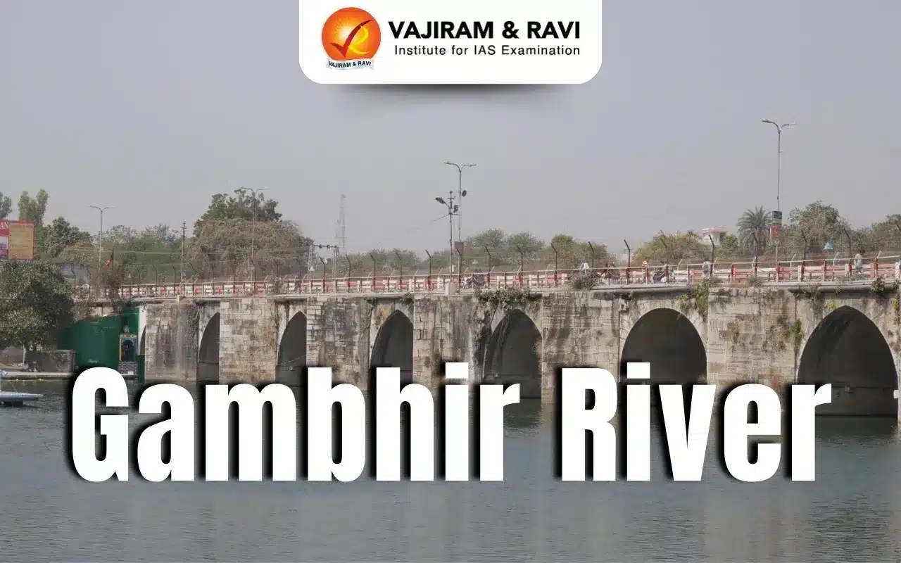
Gambhir River Latest News
Rajasthan High Court recently sought a reply from chief secretary, divisional commissioner, Bharatpur, principal revenue secretary, district collector, Karauli, and SP, Karauli, in a case of alleged encroachment on the floodplain of Gambhiri river which supplies water to Ghana Bird Sanctuary.
About Gambhir River
- The Gambhir River, also known as the Utangan River, is a significant watercourse in Rajasthan.
- It is a seasonal river and flows only in the rainy season.
- The Gambhir River Basin is located in the northeastern portion of Rajasthan.
- It is bounded by the Banganga river basin in the north, the Banas river basin in the southwest, Chambal and Parbati in the southeast; Uttar Pradesh state constitutes part of the boundary in the northeast.
- Course:
- Originating in the Aravalli Hills near Hindaun, the river flows through several districts before joining the Yamuna River in Uttar Pradesh.
- The river flows in a south-to-north direction, eventually forming the boundary between Rajasthan and Uttar Pradesh.
- Its total length is approximately 288 kilometres.
- The river is ephemeral, but becomes perennial after its confluence with the Parbati, outside Dhoulpur District.
- It supplies water to the Keoladeo National Park, a UNESCO World Heritage Site known for its bird sanctuary.
- The important tributaries of the Gambhir River are Sesa, Kher, and Parbati.
Gambhir River FAQs
Q1. In which Indian state is the Gambhir River primarily located?
Ans. Rajasthan
Q2. What is the approximate total length of the Gambhir River?
Ans. 288 km
Q3. Which major river does the Gambhir River ultimately join?
Ans. Yamuna
Source: TOI

Last updated on July, 2025
→ UPSC Notification 2025 was released on 22nd January 2025.
→ UPSC Prelims Result 2025 is out now for the CSE held on 25 May 2025.
→ UPSC Prelims Question Paper 2025 and Unofficial Prelims Answer Key 2025 are available now.
→ UPSC Calendar 2026 is released on 15th May, 2025.
→ The UPSC Vacancy 2025 were released 1129, out of which 979 were for UPSC CSE and remaining 150 are for UPSC IFoS.
→ UPSC Mains 2025 will be conducted on 22nd August 2025.
→ UPSC Prelims 2026 will be conducted on 24th May, 2026 & UPSC Mains 2026 will be conducted on 21st August 2026.
→ The UPSC Selection Process is of 3 stages-Prelims, Mains and Interview.
→ UPSC Result 2024 is released with latest UPSC Marksheet 2024. Check Now!
→ UPSC Toppers List 2024 is released now. Shakti Dubey is UPSC AIR 1 2024 Topper.
→ Also check Best IAS Coaching in Delhi