
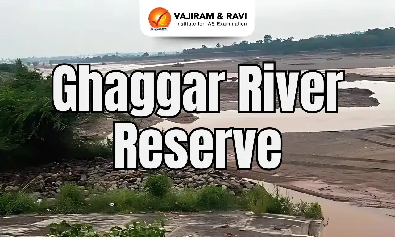
Ghaggar River Latest News
In a tragic turn of events, two teenagers lost their lives after drowning in the Ghaggar River near Panchkula.
About Ghaggar River
- The Ghaggar River is an intermittent river that flows in India and Pakistan.
- The river flows only during the monsoon season.
- Course:
- It rises from the Shivalik Range of northwestern Himachal Pradesh.
- After passing through the Ambala and Hissar districts of Haryana, it disappears into the Thar Desert in Rajasthan.
- This seasonal river feeds two irrigation canals that extend into Rajasthan.
- The Hakra, which flows in Pakistan, is the continuation of the Ghaggar River in India, and they are together called the Ghaggar-Hakra River.
- Historical Significance:
- Several historians identify Ghaggar with the Vedic Saraswati River.
- Along the banks of the Ghaggar River, many settlements of the Indus Valley Civilization have been excavated.
- Hence it is believed that the ancient settlements on its banks are the creation of ingenious Vedic Aryans.
- It is believed that the rivers Sutlej and Yamuna once flowed into the Ghaggar-Hakra riverbed.
- Tributaries: The main tributaries of the Ghaggar are the Kaushalya River, Markanda, Sarsuti, Tangri, and Chautang.


Ghaggar River FAQs
Q1: In which state Ghaggar River originates?
Ans: It rises from the Shivalik Range of northwestern Himachal Pradesh.
Q2: Is Ghaggar River a perennial river?
Ans: The Ghaggar River is an intermittent river that flows only during the monsoon season.
Q3: The Ghaggar River disappears into which region?
Ans: Thar Desert
Source: TOI
Last updated on February, 2026
→ UPSC Notification 2026 is now out on the official website at upsconline.nic.in.
→ UPSC IFoS Notification 2026 is now out on the official website at upsconline.nic.in.
→ UPSC Calendar 2026 has been released.
→ UPSC Final Result 2025 is expected to be released in the second week of April 2026.
→ Check out the latest UPSC Syllabus 2026 here.
→ Join Vajiram & Ravi’s Interview Guidance Programme for expert help to crack your final UPSC stage.
→ UPSC Mains Result 2025 is now out.
→ UPSC Prelims 2026 will be conducted on 24th May, 2026 & UPSC Mains 2026 will be conducted on 21st August 2026.
→ The UPSC Selection Process is of 3 stages-Prelims, Mains and Interview.
→ Prepare effectively with Vajiram & Ravi’s UPSC Prelims Test Series 2026 featuring full-length mock tests, detailed solutions, and performance analysis.
→ Enroll in Vajiram & Ravi’s UPSC Mains Test Series 2026 for structured answer writing practice, expert evaluation, and exam-oriented feedback.
→ Join Vajiram & Ravi’s Best UPSC Mentorship Program for personalized guidance, strategy planning, and one-to-one support from experienced mentors.
→ Check UPSC Marksheet 2024 Here.
→ UPSC Toppers List 2024 is released now. Shakti Dubey is UPSC AIR 1 2024 Topper.
→ Also check Best UPSC Coaching in India
Tags: ghaggar river prelims pointers upsc current affairs upsc prelims current affairs