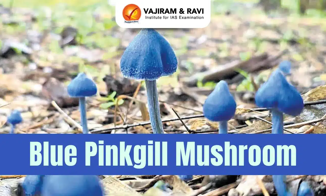
About Geological Survey of India (GSI):
- It was set up in 1851 primarily to find coal deposits for the Railways.
- Over the years, it has grown into a repository of geo-science information required in various fields in the country.
- Objective: Providing objective, impartial and up-to-date geological expertise and geoscientific information of all kinds, with a focus on policy-making decisions and commercial and socio-economic needs.
- Under the National Mineral Policy (NMP) 2008, GSI remains the principal agency for geological mapping and regional mineral resources assessment of the country.
- It also emphasises systematic documentation of all geological processes, both surface and subsurface, of India and its offshore areas.
- The organisation carries out this work through geological, geophysical, & geochemical surveys using the latest and most cost-effective techniques and methodologies.
- It is headquartered in Kolkata and has six regional offices located at Lucknow, Jaipur, Nagpur, Hyderabad, Shillong and Kolkata. Every state has a state unit.
- Presently, GSI is an attached office to the Ministry of Mines.
Q1) What are geological surveys?
Geological survey is conducted for the purpose of studying the composition of materials that compose the earth. Geology plays an important role in conducting geotechnical investigation for trenchless methods such as horizontal direction drilling (HDD), microtunneling and pipe jacking.
Source: GSI terms reports on large lithium reserves found in Rajasthan as ‘baseless’

Last updated on July, 2025
→ UPSC Notification 2025 was released on 22nd January 2025.
→ UPSC Prelims Result 2025 is out now for the CSE held on 25 May 2025.
→ UPSC Prelims Question Paper 2025 and Unofficial Prelims Answer Key 2025 are available now.
→ UPSC Calendar 2026 is released on 15th May, 2025.
→ The UPSC Vacancy 2025 were released 1129, out of which 979 were for UPSC CSE and remaining 150 are for UPSC IFoS.
→ UPSC Mains 2025 will be conducted on 22nd August 2025.
→ UPSC Prelims 2026 will be conducted on 24th May, 2026 & UPSC Mains 2026 will be conducted on 21st August 2026.
→ The UPSC Selection Process is of 3 stages-Prelims, Mains and Interview.
→ UPSC Result 2024 is released with latest UPSC Marksheet 2024. Check Now!
→ UPSC Toppers List 2024 is released now. Shakti Dubey is UPSC AIR 1 2024 Topper.
→ Also check Best IAS Coaching in Delhi