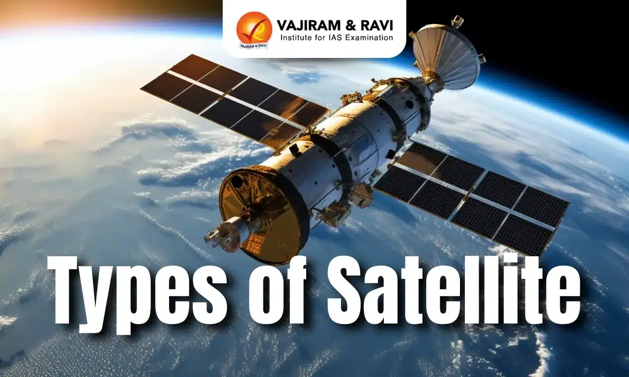
Satellites are objects that revolve around any celestial body larger than their size. They can be either natural or artificial. Artificial satellites are placed into various types of orbits by using rockets to perform specific functions. These satellites, equipped with comprehensive instruments, are used for studying Earth and other planets, aiding communication, and even observing the distant universe.
Based on their altitude and functionality, satellites (artificial) are classified into various types - Communication, Earth Observatory, Navigation, and Astronomical satellites.
General Components of a Satellite
The components of a satellite vary depending on the satellite’s function and associated application; however, there are some components commonly found on most of the satellites.
- Power Source: Solar power panels are used to meet power requirements.
- Housing: These are constructed with hard withstanding material to safeguard critical instruments.
- Transponders: It refers collectively to a transmitter-receiver subsystem on board the satellite that processes, amplifies, and retransmits a range of frequencies.
- Thermal control: It guards satellite equipment from extreme changes in temperature.
- Command and data handling: These components, considered the heart of a satellite, are used to monitor and control the satellite from Earth.
- Guidance and stabilization: Sensors monitor the satellite’s real time position to keep it in a desirable orbit, whereas thrusters and other maneuvers allow the satellite to fine tune its position and orientation.
Communication Satellites
Communication satellites are artificial satellites that are used for communication purposes such as telecommunication, broadcasting, etc. They are equipped with a transponder, which relays and amplifies radio telecommunication signals from Earth and retransmits them back to Earth.
Orbits of Communication Satellites
To meet the specific objectives, communication satellites can be placed in different orbits - in Geostationary Earth Orbit as well as in Low Earth Orbit.
- Geostationary Earth Orbit (GEO): Communication satellites are generally placed in geostationary Earth orbit (35786 kilometers above Earth's surface) to be used for telecommunication and broadcast as they offer less disturbance or obstacles.
- GEO has many relative advantages, such as wide area coverage, stable bandwidth and internet connection, and less power consumption.
- Hence, GSAT series of ISRO has been placed in GEO to provide telecommunication services such as Broadcasting, internet services, etc.
- However, the service provided by the GEO Communication satellites has the major disadvantage of “highlatency”.
- Low Earth Orbit (LEO): LEO (160 km to 1000 km) offers increased bandwidth of the radio signal with low latency, which facilitates faster transmission of data. Hence, it has become a natural choice to place a constellation of satellites for high speed internet services, such as:
- Starlink Project of SpaceX: Constellations of 4,200 plus satellites are placed in LEO at a distance of 550 km.
Applications of Communication Satellites
Communication satellites have brought radical changes to modern society due to their diverse applications.
- Communication and Broadcasting Services: Indian National Satellite (INSAT) system is one of the largest communication satellite systems in the Asia-Pacific region.
- Meteorology: Transponders like C, Extended C, and Ku-bands provide services in meteorology, such as weather forecasting, disaster warning, and search and rescue operations.
- High speed internet services: Modern communication satellites are offering exclusive services like high speed internet services.
- Starlink project, the world's first and largest satellite constellation.
- OneWeb project: Satellite communications company, One Web has planned to place 648 satellites in LEO.
- GSAT31 is providing high-speed internet connectivity in India with augmentation ku-band transponders.
Earth Observation Satellites
The Earth Observing Satellites are polar-orbiting and low inclination satellites for long-term observations of the various landscapes on the Earth - atmosphere, biosphere, lithosphere and oceans. These types of satellites monitor our planet from space and report back on any changes they observe.
Orbits of Earth Observation Satellites
- Earth observation satellites mainly follow a synchronous sub-recurrent orbit, a type of polar orbit.
- A synchronous sub-recurrent orbit is a combination of a sun-synchronous orbit and sub-recurrent orbit.
- sun-synchronous orbit: The angle between an orbit plane and the Sun seen from the Earth is always constant at the same local solar time
- Sub-recurrent orbit: Flying at the same local solar time and the same location at a fixed period).
- Observational benefit for satellites: It is possible to observe the same region at fixed intervals as the incidence angle of sunlight on the earth’s surface is almost constant in a synchronous sub-recurrent orbit.
Applications of Earth Observation Satellites
Earth Observation Satellites (EOS) provide necessary spatial and temporal data with the help of onboard instruments on the satellites. The data from these satellites is used for several applications, such as land andforest mapping and monitoring, mapping of resources like water or minerals, weather and climate observations, soil assessment, and geospatial contour mapping.
- Mechanism:
- Remote sensing: It is the process of detecting and monitoring the physical characteristics of an area by measuring its reflected and emitted radiation at a distance with the help of Earth observation satellites.
- Geographical information system satellites are a type of remote sensing spacecraft whose main function is to provide images appropriate for GIS mapping and facilitate spatial analysis for town planning and land use change.
- Examples of different EOS satellites:
- The Cartosat series of satellites (ISRO) are meant to provide data on land topography and the development of maps of geographical areas.
- Oceanography: Oceansat satellites are meant for oceanography, such asmapping of the ocean topography.
- Resource management:Resourcesat series of ISRO is dedicated to resource management. For example, EOS-04 (Radar Imaging Satellite) is designed to provide high-quality images under all weather conditions for applications of resource management, such as mineral and forestry resources.
- Meteorological application: EOS satellites provide meteorologists with a data source unmatched in comparable spatial and temporal coverage by any existing or practical means, which helps in studying ocean and atmospheric dynamics. EUMETSAT is an operational Earth observation satellite of the European Space Agency for monitoring weather, climate, and the environment from space.
Navigational Satellites
Navigation satellites use a constellation of satellites located between 20,000 and 37,000 kilometers from Earth’s surface, transmitting radio signals to provide geospatial services.
Such satellites send out signals revealing their position in space, time, and health status.
Orbits of Navigational Satellites
Navigational satellites follow multiple orbits based on the desired utility and application.
- Medium Earth Orbit (MEO): GPS satellites have been placed in MEO at an altitude of approximately 20,200 km.
- Geostationary and geosynchronous orbits:
- NavIC (Navigation with Indian Constellation) is designed with a constellation of seven satellites.
- Three satellites of the constellation are placed in geostationary orbit, whereas four satellites are placed in inclined geosynchronous orbit.
Major Navigation Satellites system
- Global Navigation Satellite System: It serves geolocation services at global level.
- GPS (USA)
- GLONASS (Russia)
- Galileo (Europe)
- BeiDou (China)
- Regional Navigation Satellite System: It operates at regional level and provides geospatial services to limited countries.
- NavIC (India)
Applications of Navigation Satellites
- Traffic management and other high end applications like Guided Missile system and other navigation based services.
- Navigation satellites cater to meet the emerging demands of the Civil Aviation industry.
- Search operation users utilise satellite based positioning and navigation services which operate on the satellite navigation system.
Astronomical satellites
An astronomical satellite is a giant telescope placed in a space environment. It observes celestial objects like planets, stars, galaxies, and objects in the universe using infrared imaging technology. It has better vision resolution to map the universe.
Satellites used in astronomy can be classified into various subcategories:
- Astronomy satellites are employed to investigate numerous types of celestial bodies and associated phenomena in space. It also reveals the process associated with the evolution of stars. Moreover, it facilitates development of planetary surface maps and taking of images of the planets in our solar system for the study of black holes.
- The Hubble Space Telescope is an example of an astronomy class of satellites placed in low Earth orbit.
- James Webb Space Telescope (JWST) is so far the largest and most powerful telescope to observe distant universes.
- AstroSat is the first dedicated Indian astronomy mission (a space telescope) aimed at studying celestial sources in X-ray, optical, and UV spectral bands simultaneously.
- Climate research satellites have specific types of sensors that allow scientists to gather comprehensive, multi-faceted data on the world’s oceans and ice, land, biosphere, and atmosphere.
- Aqua's “A-Train” satellites are part of the NASA-centered international Earth Observing System.
- The primary mission is to improve understanding of Earth's water cycle by collecting information on ocean evaporation, atmospheric water vapor, etc.
- Biosatellite: It performs space-based studies on plant and animal cells and structures. Such types of satellites play a key role in the development of medicine and biology. Some examples of biosatellites are:
- The Biosat series of NASA studied the effects of the space environment on biological processes.
- Bion- space program of the Russian Federation, of which Bion-M (2013) is the latest one.
Last updated on February, 2026
→ UPSC Notification 2026 is now out on the official website at upsconline.nic.in.
→ UPSC IFoS Notification 2026 is now out on the official website at upsconline.nic.in.
→ UPSC Calendar 2026 has been released.
→ Check out the latest UPSC Syllabus 2026 here.
→ Join Vajiram & Ravi’s Interview Guidance Programme for expert help to crack your final UPSC stage.
→ UPSC Mains Result 2025 is now out.
→ UPSC Prelims 2026 will be conducted on 24th May, 2026 & UPSC Mains 2026 will be conducted on 21st August 2026.
→ The UPSC Selection Process is of 3 stages-Prelims, Mains and Interview.
→ Prepare effectively with Vajiram & Ravi’s UPSC Prelims Test Series 2026 featuring full-length mock tests, detailed solutions, and performance analysis.
→ Enroll in Vajiram & Ravi’s UPSC Mains Test Series 2026 for structured answer writing practice, expert evaluation, and exam-oriented feedback.
→ Join Vajiram & Ravi’s Best UPSC Mentorship Program for personalized guidance, strategy planning, and one-to-one support from experienced mentors.
→ UPSC Result 2024 is released with latest UPSC Marksheet 2024. Check Now!
→ UPSC Toppers List 2024 is released now. Shakti Dubey is UPSC AIR 1 2024 Topper.
→ Also check Best UPSC Coaching in India
Types of Satellite FAQs
Q1. What is a satellite?+
Q2. What are the most common types of satellites?+
Q3. What are the main components of a satellite?+
Q4. What are the advantages of geostationary satellites?+
Q5. What are the most common navigation services in the world?What are the most common navigation services in the world?+
Tags: quest types of satellite


