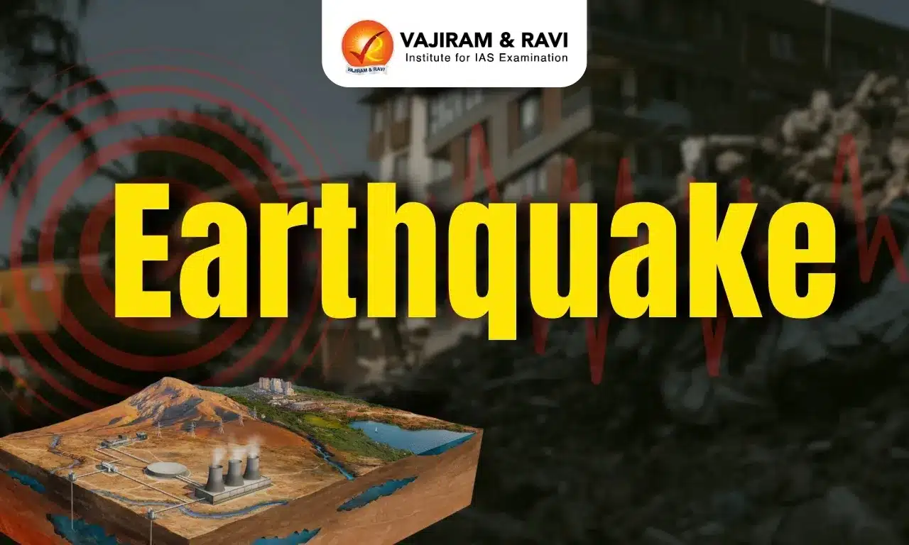
An earthquake is a sudden shaking or trembling of the Earth's surface caused by the movement of tectonic plates or volcanic activity thereby releasing energy. India is located in a seismically active region, and the country is prone to earthquakes with over 59 percent of India’s land area under threat of moderate to severe seismic hazards. Long-term and sustained efforts are required to address the problem of earthquake risk in India. The loss of life and property can be considerably minimised through maintaining better code compliance in prospective constructions and implementing seismic retrofitting on existing buildings, making them earthquake resilient.
Earthquake Vulnerability and Risk in India
India’s high earthquake risk and vulnerability are evident from the fact that about 59 percent of India’s land area could face moderate to severe earthquakes which means it is prone to shaking of MSK (Medvedev–Sponheuer–Karnik scale) Intensity VII and above.
- Tectonic sub-regions: India has three major tectonic sub-regions - the Himalayas to the north, the Ganges and other river plains, and the Peninsula.
- The entire Himalayan Region is considered to be vulnerable to high-intensity earthquakes of a magnitude exceeding 8.0 on the Richter Scale. This is due to the ongoing subduction of the Indian Plate under the Eurasian Plate.
- Shillong, 1897 (M 8.7); Kangra, 1905 (M.8.0); Bihar–Nepal, 1934 (M 8.3); and Assam–Tibet, 1950 (M 8.6) are some of the highly intense earthquake events.
- Scientists are aware of distinct gaps along the Himalayan axis where the previous release of geological stress does not entirely account for the strain that has accumulated.
- For example, the Central Himalayas have historically had fewer earthquakes than other locations. As a result, it is one place where a significant earthquake is likely to occur in the future.
- The tectonic features and characteristics of the Himalayas are prevalent in the alluvial plains of Indus, Ganga, and Brahmaputra too, as the rocks lying below the alluvial plains are just extensions of the Himalayan ranges only. Thus this region is also quite prone to seismic activities.
- The peninsular region is also susceptible to earthquakes due to intra-plate faults and the internal deformation of the Indian Plate.
- Kachchh, Narmada–Son, and Godavari rifts, the Aravalli–Delhi Fold Belt is the site of noteworthy seismicity.
- The Bhadrachalam earthquake of April 13, 1969, and the Broach earthquake of March 23, 1970, are two major intraplate earthquakes associated with paleo rift zones in the stable continental region of peninsular India. The pre-existing faults get reactivated due to strain accumulation or fault weakening.
- The entire Himalayan Region is considered to be vulnerable to high-intensity earthquakes of a magnitude exceeding 8.0 on the Richter Scale. This is due to the ongoing subduction of the Indian Plate under the Eurasian Plate.
- Aggravated risk: The increase in earthquake risk is due to a spurt in developmental activities driven by rapid urbanisation, mining activities, rapid expansion of the infrastructure in moderate or high-risk areas, etc.
Earthquake Zones in India
The Bureau of Indian Standards (BIS) has divided India into four seismic zones based on the level of seismic hazard. Approximately 11% of the country is in zone V, 18% in zone IV, 30% in zone III, and the rest in zone II.
| Seismic Zones of India | |
| Zone V |
- It covers the areas liable to seismic intensity IX and above on the MSK (1964) Intensity Scale. This is the most severe seismic zone and is referred to here as the Very High Damage Risk Zone. - It includes Parts of Jammu and Kashmir (Kashmir valley), the western part of Himachal Pradesh, the Eastern part of Uttarakhand, the Rann of Kutch in Gujarat, part of Northern Bihar, all northeastern states of India and Andaman & Nicobar Islands. |
| Zone IV |
- MSK VIII areas are referred to as the High Damage Risk Zone. - It includes remaining parts of Jammu & Kashmir, Ladakh, remaining part of Himachal Pradesh and Uttarakhand, Some parts of Haryana, Parts of Punjab, Delhi, Sikkim, northern part of Uttar Pradesh, small portions of Bihar and West Bengal, parts of Gujarat and small portions of Maharashtra near the west coast and small part of western Rajasthan. |
| Zone III |
- The associated intensity of this zone is MSK VII and is termed as a moderate damage risk zone. - It includes Kerala, Goa, Lakshadweep islands, some parts of Uttar Pradesh and Haryana, remaining parts of Gujarat and Punjab, some parts of West Bengal, part of western Rajasthan, part of Madhya Pradesh, the remaining part of Bihar, northern parts of Jharkhand and Chhattisgarh, parts of Maharashtra, parts of Odisha, parts of Andhra Pradesh and Telangana, Parts of Tamilnadu and Karnataka. |
| Zone I |
- The probable intensity of this zone is MSK VI or less and referred to as a low damage risk zone. - It includes the remaining Parts of Rajasthan and Haryana, the remaining parts of Madhya Pradesh and Maharashtra, the remaining parts of Odisha and Andhra Pradesh, the remaining parts of Telangana and Karnataka, and the remaining parts of Tamilnadu. |


Impacts of Earthquake
The types of impacts vary greatly depending on where the earthquake occurs - whether it is urban or rural, thickly or sparsely inhabited, highly developed or underdeveloped, and the infrastructure's ability to withstand shaking. The following are a few impacts of earthquakes:
- Structural damage: Earthquakes can cause buildings and other structures to collapse.
- More than 90% of the casualties in past earthquakes in India have occurred due to the collapse of houses and structures.
- Surface Rupture & Ground Displacement: The primary earthquake hazard is surface rupture. It can result from vertical or horizontal displacement on either side of a ruptured fault.
- Ground displacement, which can occur over broad areas, can cause significant damage to structures, roads, trains, and pipelines.
- Tsunamis: Earthquakes that occur beneath the water have the potential to cause tsunamis.
- The most likely scenario for a massive tsunami is a large (M7 or greater) subduction-related earthquake.
- Liquefaction: Liquefaction of soil occurs when loosely packed, water-logged sediments at or near the ground surface lose strength due to intense ground shaking. The soil temporarily behaves like a viscous liquid.
- Liquefaction beneath houses and other structures can cause significant damage during earthquakes.
- Fires: Fires are often linked to earthquakes because fuel pipes rupture and electrical wires are destroyed when the ground shakes.
- Livelihood disruption: Earthquakes can cause economic disruption, as businesses and industries are forced to close, and people are unable to work.
Mitigation Strategies for Earthquakes
Earthquake mitigation strategies are actions taken to reduce the risk of damage and loss of life from earthquakes. These strategies can be implemented at the individual, community, and government levels.
- Building codes: Earthquake-resistant building codes can help to ensure that buildings can withstand the forces of an earthquake.
- Land use planning: Land use planning can help reduce the risk of earthquake damage by locating buildings and other structures in areas that are less likely to be affected by earthquakes.
- Public awareness: Public education can help to raise awareness of the risks of earthquakes and teach people how to protect themselves during an earthquake.
- Disaster preparedness: Disaster preparedness can help communities to be better prepared for an earthquake by developing emergency plans and stocking up on supplies.
- Assessment of high-risk cities: Regular earthquake risk assessment in Indian cities helps mitigate negative consequences, prepare for future events, and guide government agencies in prioritising disaster management and response measures.
India’s Preparedness
India is one of the most seismically prone countries in the world, necessitating several earthquake mitigation and preparation measures. The following are the measures taken by the government in this regard:
- National Centre for Seismology: It works under the Ministry of Earth Sciences, monitors earthquakes through 115 observatories, and disseminates information to state and central disaster authorities for timely mitigation measures.
- National Earthquake Risk Mitigation Project: It is a centrally sponsored plan Scheme by the NDMA, that has been approved in seismic zones IV and V, involving the adoption, enforcement, and updation of a Techno-legal Regime, institutional strengthening, and public awareness.
- Seismic micro-zonation of cities: Seismic micro-zonation of cities with populations of 5 lakh or more is done by the National Centre for Seismology.
- The aim is to develop strategies for constructing earthquake-resistant buildings to minimise damage and loss of life, thereby promoting safer urban planning.
- Awareness campaign by NDMA: The National Disaster Management Authority (NDMA) of India is engaged with conducting regular awareness campaigns every year through print, electronic and social media from time to time to sensitise programs on prevention and preparedness for building safety from earthquakes.
- Building codes and guidelines: The Indian government is following guidelines from the Bureau of Indian Standards, Building Materials & Technology Promotion Council, and Housing and Urban Development Corporation to design and construct earthquake-resistant structures, aiming to minimise loss of life and property damage in earthquake-prone areas.
- These regulations are in circulation widely among the public and governmental bodies.
- Earthquake Disaster Risk Index: The index of cities in Seismic Zones IV and V is an attempt to estimate the earthquake risk of the country to help reduce the social and economic consequences of an earthquake.
- The study, by the NDMA, provides a quantitative understanding of potential risks and their implications, guiding government agencies in prioritising disaster preparedness and response measures in vulnerable cities.
Challenges and Way Forward
In India, earthquake management faces several challenges due to the country's geographical location and other factors. Some of the key challenges include:
- High Seismic Activity: India is located in a seismically active region, with Indian-Eurasian plate boundary and fault lines running through the country. This makes it prone to earthquakes of varying magnitudes. Retrofitting and other measures in these areas are expensive.
- Unplanned urbanisation: Poorly built infrastructure and rapid unplanned growth due to population pressure are rising regularly without concern for seismic risk, particularly in high regions.
- For example, In Delhi, Areas along the banks of the Yamuna and Hindon rivers, where numerous multi-story buildings are located, reside in the most seismic-prone zones.
- Rise in Tourism: The rise in the purchasing power of the Indians has caused a spurt in the tourism movement. Tourism in high seismic zones and the related activities there aggravate the problems of earthquake management.
- Lapse in building regulations: In terms of seismic performance, the condition and quality of Indian building stock are inadequate. Retrofitting existing structures and ensuring robust building codes and enforcement are essential challenges in earthquake management.
- For example, according to the Centre for Science and Environment, in Delhi, almost 80 percent of buildings violate regulations.
- Awareness and Preparedness: Awareness about earthquake risks and preparedness measures among the general public is crucial.
- The greater emphasis should be on educating the public about earthquake safety, evacuation procedures, and the importance of constructing earthquake-resistant buildings.
- Lack of Financial Resources: Adequate financial resources are required for investment in earthquake-resistant infrastructure, retrofitting existing buildings, conducting research, and enhancing preparedness and response capabilities.
- Mobilising sufficient funds and allocating them effectively are required in earthquake management.
Earthquake UPSC PYQs
Question 1: Discuss about the vulnerability of India to earthquake-related hazards. Give examples including the salient features of major disasters caused by earthquakes in different parts of India during the last three decades. (UPSC Mains 2021)
Question 2: The frequency of earthquakes appears to have increased in the Indian subcontinent. However, India’s preparedness for mitigating their impact has significant gaps. Discuss various aspects. (UPSC Mains 2015)
![]() Last updated on March, 2026
Last updated on March, 2026
→ UPSC Final Result 2025 is now out.
→ UPSC has released UPSC Toppers List 2025 with the Civil Services final result on its official website.
→ Anuj Agnihotri secured AIR 1 in the UPSC Civil Services Examination 2025.
→ UPSC Marksheet 2025 is now out.
→ UPSC Notification 2026 & UPSC IFoS Notification 2026 is now out on the official website at upsconline.nic.in.
→ UPSC Calendar 2026 has been released.
→ Check out the latest UPSC Syllabus 2026 here.
→ UPSC Prelims 2026 will be conducted on 24th May, 2026 & UPSC Mains 2026 will be conducted on 21st August 2026.
→ The UPSC Selection Process is of 3 stages-Prelims, Mains and Interview.
→ Prepare effectively with Vajiram & Ravi’s UPSC Prelims Test Series 2026 featuring full-length mock tests, detailed solutions, and performance analysis.
→ Enroll in Vajiram & Ravi’s UPSC Mains Test Series 2026 for structured answer writing practice, expert evaluation, and exam-oriented feedback.
→ Join Vajiram & Ravi’s Best UPSC Mentorship Program for personalized guidance, strategy planning, and one-to-one support from experienced mentors.
→ Shakti Dubey secures AIR 1 in UPSC CSE Exam 2024.
→ Also check Best UPSC Coaching in India
Earthquake FAQs
Q1. What are the major seismic belts?+
Q2. What causes earthquakes?+
Q3. What are Building codes?+
Q4. Where do earthquakes mostly occur?+
Tags: earthquake quest