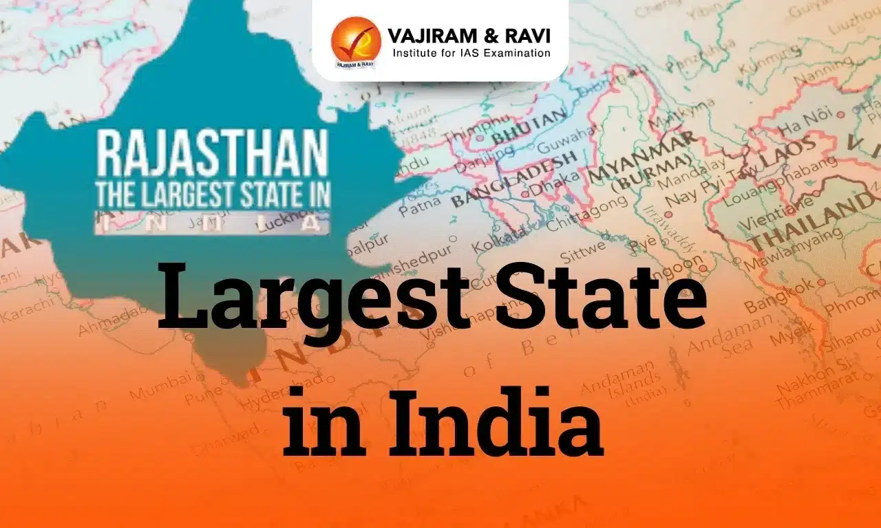
India’s vast and diverse landscape is reflected in its largest states and Union Territories, varying in area and population. As of 2024, Rajasthan is the largest state by area, covering 342,239 square kilometres (10.4% of India’s land area). Uttar Pradesh, with an estimated 241 million people (17% of India’s population), is the most populous state.
Jammu and Kashmir is the largest Union Territory by area (55,538 square kilometres), while Delhi is the most populous, with 16.79 million residents.
Largest State by Area in 2024 Rajasthan
Rajasthan is the largest state in India by area, spanning approximately 342,239 square kilometres, which accounts for about 10.4% of India’s total land area. This vast expanse of land is located in the northwestern part of India, bordering five states—Punjab, Haryana, Uttar Pradesh, Madhya Pradesh, and Gujarat—and sharing an international border with Pakistan.
- Topography: The state features a diverse landscape ranging from the Thar Desert (the Great Indian Desert) to fertile plains and mountains. The desert dominates the climate and ecology of the state.
- Climate: Rajasthan experiences a dry climate with extreme seasonal variations. Summers are often intensely hot, whereas winters tend to be milder and cooler.
- The average annual rainfall is low, mainly due to the influence of the Thar Desert.
- Biodiversity: The state’s wildlife includes tigers, lions, leopards, elephants, and desert-dwelling animals like blue bulls, blackbucks, and chinkaras.
- Tourism: Rajasthan attracts tourists with its rich heritage, featuring various forts, palaces, wildlife sanctuaries and national parks, and historical monuments reflecting its cultural legacy.
- Demographics: Rajasthan’s population of 68.5 million (2011 Census) and 66.11% literacy rate highlight efforts to improve education and infrastructure.
- Economic Overview: Rajasthan’s diverse economy, driven by agriculture, mining, tourism, textiles, IT, and renewable energy, has a GSDP of $182.02 billion (2023-24) with 8.03% (at Constant Prices: 2011-12) growth.
List of Largest States in India by Area 2024
Rajasthan is the largest state in India by area, covering approximately 342,239 square kilometres (census 2011) followed by Madhya Pradesh and Maharashtra. Below is a list of the largest states in India by area as of 2024:
| Sl. No. | States | Area (in Km²) |
| 1 | Rajasthan | 342,239 |
| 2 | Madhya Pradesh | 308,252 |
| 3 | Maharashtra | 307,713 |
| 4 | Uttar Pradesh | 240,928 |
| 5 | Gujarat | 196,024 |
| 6 | Karnataka | 191,791 |
| 7 | Andhra Pradesh | 160,205 |
| 8 | Odisha | 155,707 |
| 9 | Chhattisgarh | 135,191 |
| 10 | Tamil Nadu | 130,058 |
| 11 | Telangana | 112,077 |
| 12 | Bihar | 94,163 |
| 13 | West Bengal | 88,752 |
| 14 | Arunachal Pradesh | 83,743 |
| 15 | Jharkhand | 79,714 |
| 16 | Assam | 78,438 |
| 17 | Himachal Pradesh | 55,673 |
| 18 | Uttarakhand | 53,483 |
| 19 | Punjab | 50,362 |
| 20 | Haryana | 44,212 |
| 21 | Kerala | 38,863 |
| 22 | Meghalaya | 22,429 |
| 23 | Manipur | 22,327 |
| 24 | Mizoram | 21,081 |
| 25 | Nagaland | 16,579 |
| 26 | Tripura | 10,486 |
| 27 | Sikkim | 7,096 |
| 28 | Goa | 3,702 |
Largest State by Population in 2024 Uttar Pradesh
As of 2024, Uttar Pradesh stands as the largest state in India by population, with an estimated population of approximately 199.81 million inhabitants (Census 2011). This remarkable figure accounts for about 17% of India’s total population, making Uttar Pradesh the most populous state in India and one of the largest subdivisions globally.
- Demographics:
- Population 199.81 million (Census 2011); (241 million as per 2024 estimate)
- Area 243,286 km², Density ~991/km², Literacy Rate ~67.68%, Sex Ratio 912 females/1,000 males.
- Topography: It includes the Himalayan Region with rugged terrain and forests, the Gangetic Plain, a fertile agricultural hub, and the Vindhya Hills with rocky terrain and rich mineral resources.
- Biodiversity: Uttar Pradesh boasts diverse biodiversity with tropical moist and dry deciduous forests, grasslands, and 26 wildlife sanctuaries.
- Protected areas cover 11.82% of the state, ensuring wildlife conservation.
- Climate: Uttar Pradesh has a tropical monsoon climate with hot summers (over 40°C), rainy monsoons (June-September), and cold winters (December-February) often marked by fog.
- Economic Overview: Uttar Pradesh has a diverse economy with key sectors in agriculture, manufacturing, services, and tourism. In 2023-24, its GSDP stands at ₹25.48 lakh crore (US$310 billion), growing by 5.8%, contributing 8% to India’s national GDP.
List of Largest States in India by Population 2024
Uttar Pradesh is the most populous state in India, with an estimated population of approximately 199.81 million as of 2024 (census 2011) followed by Maharashtra and Bihar. Below is a list of the largest states in India by population:
| Rank | State | 2011 Census |
| 1 | Uttar Pradesh | 19,98,12,341 |
| 2 | Maharashtra | 11,23,74,333 |
| 3 | Bihar | 10,40,99,452 |
| 4 | West Bengal | 9,12,76,115 |
| 5 | Madhya Pradesh | 7,26,26,809 |
| 6 | Tamil Nadu | 7,21,47,030 |
| 7 | Rajasthan | 6,85,48,437 |
| 8 | Karnataka | 6,10,95,297 |
| 9 | Gujarat | 6,04,39,692 |
| 10 | Andhra Pradesh | 49,386,799 |
| 11 | Odisha | 4,19,74,218 |
| 12 | Telangana | 35,193978 |
| 13 | Kerala | 3,34,06,061 |
| 14 | Jharkhand | 3,29,88,134 |
| 15 | Assam | 3,12,05,576 |
| 16 | Punjab | 2,77,43.338 |
| 17 | Chhattisgarh | 2,55,45,198 |
| 18 | Haryana | 2,53,51,462 |
| 19 | Uttarakhand | 1,00,86,292 |
| 20 | Himachal Pradesh | 68,64,602 |
| 21 | Tripura | 36,73,917 |
| 22 | Meghalaya | 29,66,889 |
| 23 | Manipur | 28,55,794 |
| 24 | Nagaland | 19,78,502 |
| 25 | Goa | 14,58,545 |
| 26 | Arunachal Pradesh | 13,83,727 |
| 27 | Mizoram | 10,97,206 |
| 28 | Sikkim | 6,10,577 |
Largest Union Territory of India by Area 2024 Jammu and Kashmir
Jammu and Kashmir is the largest Union Territory in India by area, spanning approximately 42,241 square kilometers (16,309 square miles). It was formed on October 31, 2019, following the Jammu and Kashmir Reorganisation Act, which divided the former state into two Union Territories: Jammu and Kashmir, and Ladakh. The Union Territory has two capitals: Srinagar (summer capital) and Jammu (winter capital).
- Demographics: Population~12.5 million, sex ratio of 889 females/1,000 males, child sex ratio of 925 girls/1,000 boys, and a literacy rate of 67.16% (76.75% male, 56.43% female).
- The UT is divided into 20 districts, 207 tehsils, 49 sub-divisions, and 520 nayabats. The UT’s three main rivers are the Jhelum, Chenab, and Ravi.
- Topography: Jammu and Kashmir features diverse topography, with the Himalayas to the north and the Pir Panjal Range to the south. It is home to scenic valleys, including the Kashmir Valley and the Jammu Valley renowned for its landscapes.
- Climate: The region experiences a temperate climate with four seasons, ranging from -2°C in winter to 35°C in summer.
- Biodiversity: Jammu and Kashmir is rich in biodiversity, with coniferous forests, alpine meadows, and diverse wildlife like the Himalayan black bear, snow leopard, and Markhor.
- Economic overview: Jammu and Kashmir has a diverse economy, with key sectors like agriculture, tourism, manufacturing, and services. The projected GSDP for 2024-25 is ₹2.63 lakh crore (US$31.8 billion), reflecting a 7.5% growth, contributing 0.816% to India’s GDP.
List of Largest Union Territories of India by Area and Population 2024
| Rank | Union Territory | Area (km²) |
Population (Census 2011) |
| 1 | Jammu and Kashmir |
1,20,355 (including PoK) |
12541302 |
| 2 | Ladakh | 59,146 | Not Available |
| 3 | Andaman and Nicobar Islands | 8,249 | 380,581 |
| 4 | Delhi (National Capital Territory) | 1,484 | 16,787,941 |
| 5 | Puducherry | 479 | 1,247,953 |
| 6 | Dadra and Nagar Haveli and Daman and Diu | 603 | 343709 and 243247 |
| 7 | Chandigarh | 114 | 1,055,450 |
| 8 | Lakshadweep | 32 | 64,473 |
It’s noteworthy that Delhi, despite being one of the smaller union territories in terms of area, has the highest population among them. Conversely, Ladakh is the largest by area but has a relatively small population.
Smallest State in India by Area 2024
Goa, the smallest state in India by area, covers 3,702 square kilometres and is located on the west coast, bordered by Maharashtra to the north, Karnataka to the east and south, and the Arabian Sea to the west.
- History: The state was liberated from Portuguese rule in 1961 and became a separate state on May 30, 1987, after being part of the Union Territory of Goa, Daman & Diu.
- Throughout history, Goa has been known as the ‘Golden Goa’ and the ‘Rome of the East’ to the Portuguese, reflecting its grandeur.
- Divisions: Goa is divided into two districts, North Goa and South Goa, with Panaji serving as the capital.
- Topography: Goa, located on the southwestern coast of India, features diverse topography with approximately 160 km of coastline along the Arabian Sea, known for its sandy beaches, estuaries, and rocky promontories.
- Rivers: Several rivers, including the Mandovi, Zuari, Chapora, and Terekhol, crisscross the state, aiding transportation and agriculture.
- Climate: Goa has a tropical monsoon climate with temperatures ranging from 25°C in winter to 35°C in summer, heavy rainfall from June to September, and a dry season from October to May.
- Economic Overview: Goa has a mixed economy with key sectors like tourism, agriculture, and manufacturing. The projected GSDP for 2024-25 is ₹1,21,309 crore (US$14.7 billion), showing a growth rate of 13.87%, contributing 0.25% to India’s national GDP.
Last updated on June, 2025
→ UPSC Notification 2025 was released on 22nd January 2025.
→ UPSC Prelims Result 2025 will be out soon for the CSE held on 25 May 2025.
→ UPSC Prelims Question Paper 2025 and Unofficial Prelims Answer Key 2025 are available now.
→ UPSC Calendar 2026 is released on 15th May, 2025.
→ The UPSC Vacancy 2025 were released 1129, out of which 979 were for UPSC CSE and remaining 150 are for UPSC IFoS.
→ UPSC Mains 2025 will be conducted on 22nd August 2025.
→ UPSC Prelims 2026 will be conducted on 24th May, 2026 & UPSC Mains 2026 will be conducted on 21st August 2026.
→ The UPSC Selection Process is of 3 stages-Prelims, Mains and Interview.
→ UPSC Result 2024 is released with latest UPSC Marksheet 2024. Check Now!
→ UPSC Toppers List 2024 is released now. Shakti Dubey is UPSC AIR 1 2024 Topper.
→ Also check Best IAS Coaching in Delhi
Largest State in India 2024 FAQs
Q1. Which is the biggest state in India in 2024?+
Q2. Which are the top 5 biggest states in India?+
Q3. Which is the most developed state in India in 2024?+
Q4. What is the poorest state in India?+
Q5. Which is the smallest state in India?+
Tags: largest state in india quest


